Cycling in Brierfield
Discover a map of 8 cycling routes and bike trails near Brierfield, created by our community.
Region portrait
Get to know Brierfield
Find the right bike route for you through Brierfield, where we've got 8 cycle routes to explore.
253 km
Tracked distance
8
Cycle routes
10,271
Population
Community
Most active users in Brierfield
From our community
The best bike routes in and around Brierfield
ROSES LOOP
Cycling route in Brierfield, England, United Kingdom
- 115.7 km
- Distance
- 1,447 m
- Ascent
- 1,448 m
- Descent
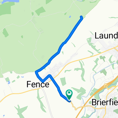
Fence Newchurch steep round trip
Cycling route in Brierfield, England, United Kingdom
- 10.2 km
- Distance
- 219 m
- Ascent
- 270 m
- Descent
Cuckstool Lane to Barrowford
Cycling route in Brierfield, England, United Kingdom
- 5.8 km
- Distance
- 70 m
- Ascent
- 144 m
- Descent
Ashlar House Farm, A6068, Burnley to 37C Churchill Way, Nelson
Cycling route in Brierfield, England, United Kingdom
- 4 km
- Distance
- 49 m
- Ascent
- 125 m
- Descent
Discover more routes
 Noggarth ride
- Distance
- 8.7 km
- Ascent
- 112 m
- Descent
- 105 m
- Location
- Brierfield, England, United Kingdom
 Robinson Lane, Brierfield, Nelson to Riverside West, Whitehall Road, Leeds
- Distance
- 58.9 km
- Ascent
- 652 m
- Descent
- 752 m
- Location
- Brierfield, England, United Kingdom
 Hambledon mud fest
- Distance
- 39.6 km
- Ascent
- 773 m
- Descent
- 774 m
- Location
- Brierfield, England, United Kingdom
 Moderate route in Colne
- Distance
- 9.8 km
- Ascent
- 61 m
- Descent
- 93 m
- Location
- Brierfield, England, United Kingdom


