
Cycling in Baldock
Discover a map of 308 cycling routes and bike trails near Baldock, created by our community.
Region portrait
Get to know Baldock
Find the right bike route for you through Baldock, where we've got 308 cycle routes to explore. Most people get on their bikes to ride here in the months of May and August.
18,600 km
Tracked distance
308
Cycle routes
10,086
Population
Community
Most active users in Baldock


Handpicked routes
Discover Baldock through these collections

From our community
The best bike routes in and around Baldock


Throcking Cottered
Cycling route in Baldock, England, United Kingdom
All routes OS map verified Bridleways, Byways, and Restricted Byways - Legal for bikes.
*Past A505 underpass, there is a non-OS map track going right before the Railway underpass. It goes between the railway and the A505. (Ordnance Survey maps required: 193 - Luton & Stevenag
- 47.1 km
- Distance
- 323 m
- Ascent
- 323 m
- Descent


Thunder Ridge
Cycling route in Baldock, England, United Kingdom
All routes verified by OS maps for Bridleways, Restricted Byways, and Byways. (Ordnance Survey Maps required: 193 - Luton & Stevenage; and 194 - Hertford & Bishop Stortford).
- 76.9 km
- Distance
- 402 m
- Ascent
- 401 m
- Descent


Mighty Meander
Cycling route in Baldock, England, United Kingdom
Cycle up to Rushden (Northamptonshire) and through the Stanwick Lakes nature reserve.
Then cycle to Grafham Lake nature reserve for comparison.
(This route uses tracks that are not suitable for thin racing road tyres. Especially on the Byway past Leighton Bromswold).
- 173.8 km
- Distance
- 460 m
- Ascent
- 460 m
- Descent


Northern Woods
Cycling route in Baldock, England, United Kingdom
All routes OS map verified Bridleways, Byways, and Restricted Byways. Ordnance Survey Maps required: 193 - Stevenage & Luton, and 208 - Bedford & St Neots.
- 60.4 km
- Distance
- 270 m
- Ascent
- 271 m
- Descent
Discover more routes
 Halo Reach
- Distance
- 122.5 km
- Ascent
- 158 m
- Descent
- 158 m
- Location
- Baldock, England, United Kingdom
 Thumbs Up Barton
- Distance
- 53.8 km
- Ascent
- 361 m
- Descent
- 362 m
- Location
- Baldock, England, United Kingdom
 Lost Railroad
- Distance
- 72.8 km
- Ascent
- 429 m
- Descent
- 429 m
- Location
- Baldock, England, United Kingdom
 Cross-Potter
- Distance
- 52.3 km
- Ascent
- 159 m
- Descent
- 161 m
- Location
- Baldock, England, United Kingdom
 Wiggy
Wiggy- Distance
- 48.3 km
- Ascent
- 334 m
- Descent
- 334 m
- Location
- Baldock, England, United Kingdom
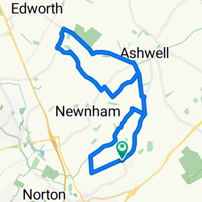 Hinxworth Castanet
- Distance
- 18.8 km
- Ascent
- 180 m
- Descent
- 180 m
- Location
- Baldock, England, United Kingdom
 Hatley Wood Spaghetti
- Distance
- 64.8 km
- Ascent
- 242 m
- Descent
- 244 m
- Location
- Baldock, England, United Kingdom
 West Cam
- Distance
- 129.2 km
- Ascent
- 246 m
- Descent
- 246 m
- Location
- Baldock, England, United Kingdom