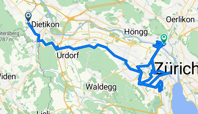
- 63.3 km
- 1,147 m
- 1,136 m
- Dietikon / Almend, Canton of Zurich, Switzerland

Cycling in Canton of Zurich
Discover a map of 40,245 cycling routes and bike trails in Canton of Zurich, created by our community.
Region portrait
Get to know Canton of Zurich
Find the right bike route for you through Canton of Zurich, where we've got 40,245 cycle routes to explore. Most people get on their bikes to ride here in the months of May and June.
2,220,025 km
Tracked distance
40,245
Cycle routes
Community
Most active users in Canton of Zurich
Handpicked routes
Discover Canton of Zurich through these collections
- Official Tour
Zurich to Stein am Rhein
3 routes
- Official Tour
Töss–Jona Cycle Route
4 routes
From our community
The best bike routes in Canton of Zurich
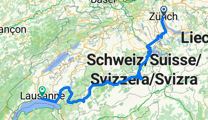
Lakes Route - Zurich to Lausanne
Cycling route in Zürich (Kreis 6) / Oberstrass, Canton of Zurich, Switzerland
- 341.3 km
- Distance
- 5,957 m
- Ascent
- 5,992 m
- Descent
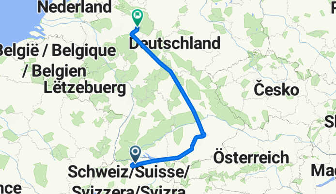
Frachtstrasse to Salzkottener Straße
Cycling route in Kloten / Holberg, Canton of Zurich, Switzerland
- 797.7 km
- Distance
- 11,746 m
- Ascent
- 12,103 m
- Descent
Flughafenstrasse to Flughafenstraße
Cycling route in Kloten / Holberg, Canton of Zurich, Switzerland
- 569 km
- Distance
- 9,237 m
- Ascent
- 10,364 m
- Descent
bviuztegj
Cycling route in Dietikon / Almend, Canton of Zurich, Switzerland
- 50.9 km
- Distance
- 886 m
- Ascent
- 907 m
- Descent
Discover more routes
- Spreitenbacherstrasse nach Schweigmatt
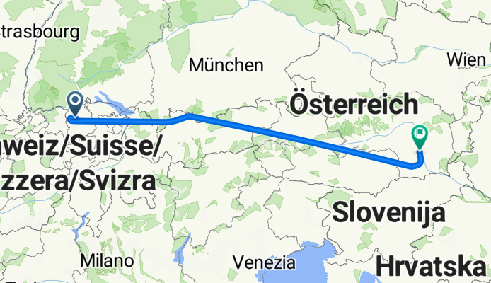
- Hofwiesenstrasse to Partizanska cesta
- 849.6 km
- 1,860 m
- 2,074 m
- Zürich (Kreis 11) / Oerlikon, Canton of Zurich, Switzerland
- Thujastrasse, Zürich to Thujastrasse, Zürich
- 15.7 km
- 271 m
- 270 m
- Zürich (Kreis 2) / Wollishofen, Canton of Zurich, Switzerland
- Zurich to Stein am Rhein
- 58.9 km
- 732 m
- 740 m
- Zürich (Kreis 1) / Lindenhof, Canton of Zurich, Switzerland
- Kurzer Trainingsloop
- 26.9 km
- 493 m
- 448 m
- Zürich (Kreis 3) / Sihlfeld, Canton of Zurich, Switzerland
- Wädenswil - Ägeri
- 61.7 km
- 785 m
- 785 m
- Wädenswil / Leihof-Mühlebach, Canton of Zurich, Switzerland
- D1: Uster - Markdorf
- 96.4 km
- 857 m
- 882 m
- Uster / Gschwader, Canton of Zurich, Switzerland
- WS AWS 2
- 26.2 km
- 128 m
- 130 m
- Wallisellen / Wallisellen-West, Canton of Zurich, Switzerland
Cycling regions in Canton of Zurich
Bassersdorf
349 cycling routes
Wädenswil / Untermosen-Fuhr
17 cycling routes
Au / Mittel-Dorf
27 cycling routes
Horgen / Scheller-Stockerstrasse
30 cycling routes
Kloten / Hostrass
62 cycling routes
See where people are biking in Switzerland
Popular cycling regions in Switzerland


