
Cycling in Kramfors
Discover a map of 35 cycling routes and bike trails near Kramfors, created by our community.
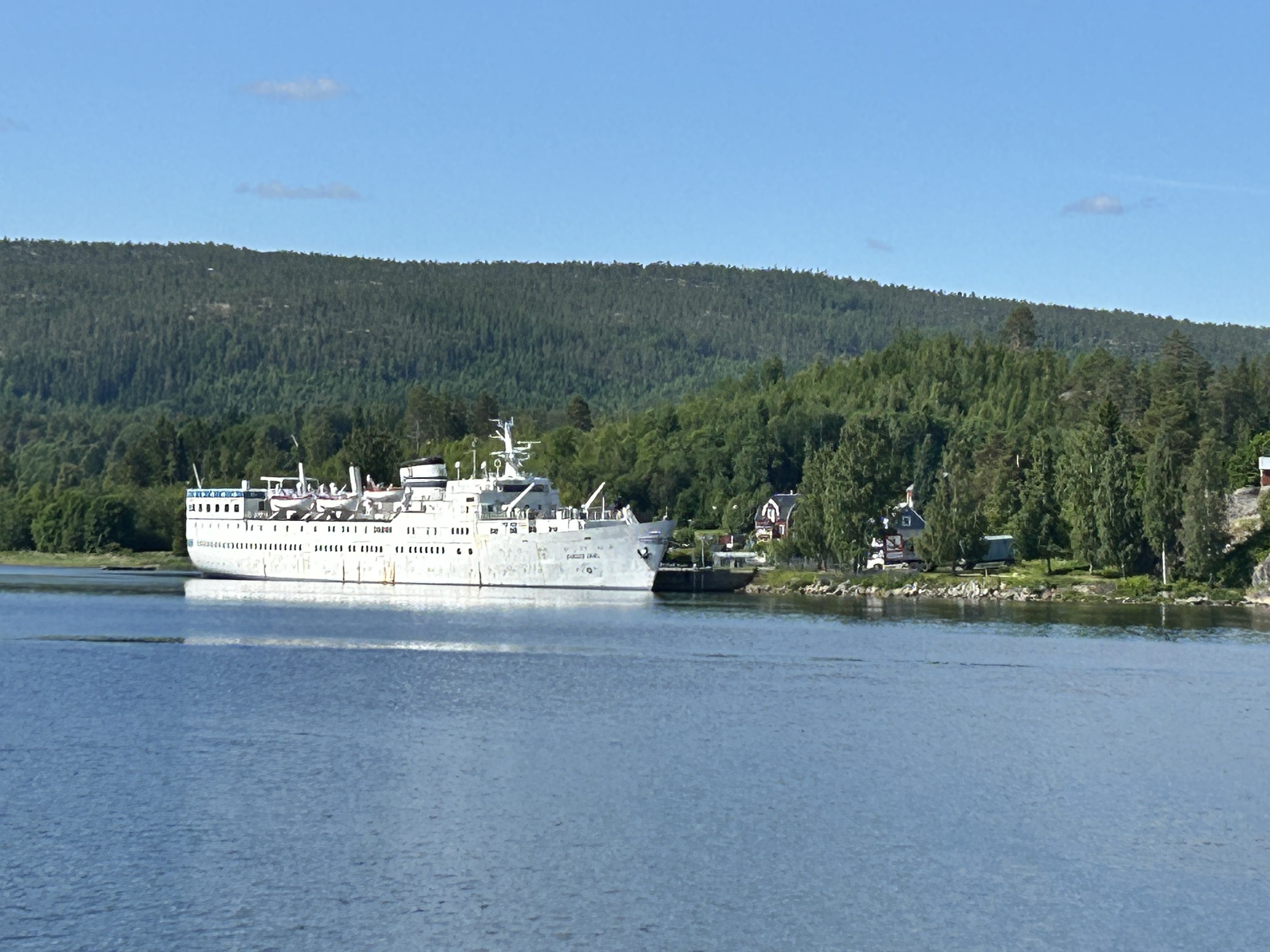
Region portrait
Get to know Kramfors
Find the right bike route for you through Kramfors, where we've got 35 cycle routes to explore.
4,277 km
Tracked distance
35
Cycle routes
6,235
Population
Community
Most active users in Kramfors


From our community
The best bike routes in and around Kramfors

0027 EuroVelo 10 Day 9
Cycling route in Kramfors, Västernorrland County, Sweden
Ridden by Stig19.05.2011. Part on E4 with heavy trafic.
The last 5 km:s on sofrgravel road. The whole roue on Höga kusten.
Actual distane 78,9km
- 74.9 km
- Distance
- 607 m
- Ascent
- 514 m
- Descent

S030 Getberget (bei Ramvik) - Sundsvall
Cycling route in Kramfors, Västernorrland County, Sweden
Getberget Hostel - Landstr. (738) - Uland - Landstr. (Y738) - Nordana - SL9 - Landstr. (331) - Asäng - EV (Cykelsparet 14) - Stavreviken - EV - Forsmon- EV - Fagervik- EV/SL9 - Timra - EV - Skönvik- EV -
- 84.4 km
- Distance
- 543 m
- Ascent
- 623 m
- Descent

Limstagatan, Kramfors to Limstagatan, Kramfors
Cycling route in Kramfors, Västernorrland County, Sweden
- 31.2 km
- Distance
- 358 m
- Ascent
- 347 m
- Descent

Nyadalsvägen 2 nach Nyadalsvägen 302
Cycling route in Kramfors, Västernorrland County, Sweden
- 5.4 km
- Distance
- 29 m
- Ascent
- 51 m
- Descent
Discover more routes
 Storsjövägen 5, Skog to Stationsgatan 27–29, Kramfors
- Distance
- 20 km
- Ascent
- 225 m
- Descent
- 243 m
- Location
- Kramfors, Västernorrland County, Sweden
 Helsinki - Sparrhugget
- Distance
- 1,586.8 km
- Ascent
- 684 m
- Descent
- 692 m
- Location
- Kramfors, Västernorrland County, Sweden
 Gammelvägen 23 naar Kyrkogatan 19
- Distance
- 93.3 km
- Ascent
- 1,290 m
- Descent
- 1,281 m
- Location
- Kramfors, Västernorrland County, Sweden
 Skolvägen 1, Lugnvik to Telemastvägen, Lugnvik
- Distance
- 5.3 km
- Ascent
- 283 m
- Descent
- 39 m
- Location
- Kramfors, Västernorrland County, Sweden
 21 Franö - Lungvik ( 88 km )
- Distance
- 87.3 km
- Ascent
- 876 m
- Descent
- 893 m
- Location
- Kramfors, Västernorrland County, Sweden
 High Coast Trail
- Distance
- 21 km
- Ascent
- 346 m
- Descent
- 381 m
- Location
- Kramfors, Västernorrland County, Sweden
 Day 18
- Distance
- 74.1 km
- Ascent
- 607 m
- Descent
- 588 m
- Location
- Kramfors, Västernorrland County, Sweden
 S26b: Kramfors - Liden
- Distance
- 98.7 km
- Ascent
- 827 m
- Descent
- 722 m
- Location
- Kramfors, Västernorrland County, Sweden