

Steninge Kustväg 46, Steninge to Järnvägsgatan 36, Lidhult
- 65.6 km
- 54 m
- 66 m
- Harplinge, Halland County, Sweden

Discover a map of 18 cycling routes and bike trails near Harplinge, created by our community.
Region portrait
Find the right bike route for you through Harplinge, where we've got 18 cycle routes to explore.
1,189 km
Tracked distance
18
Cycle routes
1,454
Population
Community
From our community
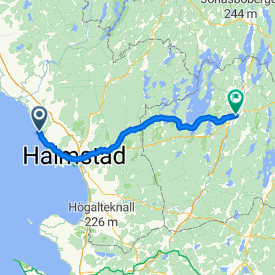
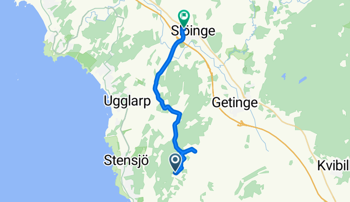
Cycling route in Harplinge, Halland County, Sweden
Cycling route in Harplinge, Halland County, Sweden
Cycling route in Harplinge, Halland County, Sweden