
Cycling in Waldneukirchen
Discover a map of 89 cycling routes and bike trails near Waldneukirchen, created by our community.
Region portrait
Get to know Waldneukirchen
Find the right bike route for you through Waldneukirchen, where we've got 89 cycle routes to explore. Most people get on their bikes to ride here in the months of May and August.
3,848 km
Tracked distance
89
Cycle routes
Community
Most active users in Waldneukirchen

From our community
The best bike routes in and around Waldneukirchen

Von Laichberger nach St. Nikola über Ramsau
Cycling route in Waldneukirchen, Upper Austria, Austria
- 48.4 km
- Distance
- 740 m
- Ascent
- 739 m
- Descent

Grünburg Trattenbach Grünburgerhütte
Cycling route in Waldneukirchen, Upper Austria, Austria
- 55.9 km
- Distance
- 1,536 m
- Ascent
- 1,536 m
- Descent

Waldneukirchen - Untergrünburg (Ortszentren, Umgehung von Hauptverkehrsstraßen)
Cycling route in Waldneukirchen, Upper Austria, Austria
- 4.3 km
- Distance
- 26 m
- Ascent
- 105 m
- Descent

Waldneukirchen - Bad Hall (Ortszentren, Umgehung von Hauptverkehrsstraßen)
Cycling route in Waldneukirchen, Upper Austria, Austria
- 6.2 km
- Distance
- 28 m
- Ascent
- 89 m
- Descent
Discover more routes
 Waldneukirchen - Aschach an der Steyr (Ortszentren, Umgehung von Hauptverkehrsstraßen)
- Distance
- 8.9 km
- Ascent
- 131 m
- Descent
- 143 m
- Location
- Waldneukirchen, Upper Austria, Austria
 Adlwang - Waldneukirchen (Ortszentren, Umgehung von Hauptverkehrsstraßen)
- Distance
- 3.7 km
- Ascent
- 64 m
- Descent
- 47 m
- Location
- Waldneukirchen, Upper Austria, Austria
 2023_11_04_Bad Haller-Auf´s Weiss´n
- Distance
- 44 km
- Ascent
- 742 m
- Descent
- 741 m
- Location
- Waldneukirchen, Upper Austria, Austria
 Waldneukirchen - Salzburg - Waldneukirchen
- Distance
- 245 km
- Ascent
- 1,078 m
- Descent
- 1,078 m
- Location
- Waldneukirchen, Upper Austria, Austria
 Waldneukirchen - Adlwang (Ortszentren, Umgehung von Hauptverkehrsstraßen)
- Distance
- 3.8 km
- Ascent
- 47 m
- Descent
- 66 m
- Location
- Waldneukirchen, Upper Austria, Austria
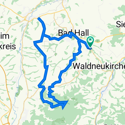
 2023_10_21_Bad Haller-Tassilorunde
- Distance
- 52.8 km
- Ascent
- 616 m
- Descent
- 616 m
- Location
- Waldneukirchen, Upper Austria, Austria
 Waldneukirchen - Sierning (Ortszentren, Umgehung von Hauptverkehrsstraßen)
- Distance
- 7.6 km
- Ascent
- 43 m
- Descent
- 120 m
- Location
- Waldneukirchen, Upper Austria, Austria
 Etappe9
- Distance
- 21.6 km
- Ascent
- 159 m
- Descent
- 266 m
- Location
- Waldneukirchen, Upper Austria, Austria