Cycling in Unterpremstätten
Discover a map of 362 cycling routes and bike trails near Unterpremstätten, created by our community.
Region portrait
Get to know Unterpremstätten
Find the right bike route for you through Unterpremstätten, where we've got 362 cycle routes to explore. Most people get on their bikes to ride here in the months of May and August.
27,206 km
Tracked distance
362
Cycle routes
Community
Most active users in Unterpremstätten
From our community
The best bike routes in and around Unterpremstätten
Steiermark 3 - Südliche Mur
Cycling route in Unterpremstätten, Styria, Austria
- 76.7 km
- Distance
- 172 m
- Ascent
- 176 m
- Descent
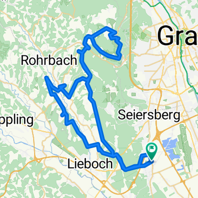
Über die süd-westl Hügeln
Cycling route in Unterpremstätten, Styria, Austria
- 54 km
- Distance
- 564 m
- Ascent
- 564 m
- Descent
Die West-Tour
Cycling route in Unterpremstätten, Styria, Austria
- 76.9 km
- Distance
- 1,066 m
- Ascent
- 1,064 m
- Descent
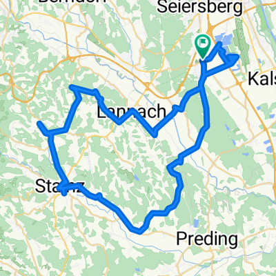
Die Südrunde
Cycling route in Unterpremstätten, Styria, Austria
- 55.7 km
- Distance
- 159 m
- Ascent
- 159 m
- Descent
Discover more routes
 Glocknerman 2014
- Distance
- 1,054.8 km
- Ascent
- 7,201 m
- Descent
- 7,201 m
- Location
- Unterpremstätten, Styria, Austria
 Steiermark 2 - Westl. Steiermark
- Distance
- 56.4 km
- Ascent
- 535 m
- Descent
- 535 m
- Location
- Unterpremstätten, Styria, Austria
 Kalsdorf - Muttendorf - Dobl - Unterpremstätten
- Distance
- 46.9 km
- Ascent
- 239 m
- Descent
- 249 m
- Location
- Unterpremstätten, Styria, Austria
 Schwarzlsee - Wildon - Kirchberg - St. Margarethen - Nestelbach - Schwarzlsee
- Distance
- 88.4 km
- Ascent
- 946 m
- Descent
- 953 m
- Location
- Unterpremstätten, Styria, Austria
 Bike Graz 70.3 v003
- Distance
- 89.3 km
- Ascent
- 1,281 m
- Descent
- 1,239 m
- Location
- Unterpremstätten, Styria, Austria
 Südsteiermark
- Distance
- 90.1 km
- Ascent
- 528 m
- Descent
- 636 m
- Location
- Unterpremstätten, Styria, Austria
 UP-Feldkirchen-Graz-Thal/Eben-Steinberg-Hitzendorf-Doblegg-Tobelbad-Dobl-Zwaring-Wundschuh-SFZ
- Distance
- 64.8 km
- Ascent
- 420 m
- Descent
- 438 m
- Location
- Unterpremstätten, Styria, Austria
 Südwestliche West-STEIERMARK 1
- Distance
- 63.9 km
- Ascent
- 437 m
- Descent
- 440 m
- Location
- Unterpremstätten, Styria, Austria
Routes from Unterpremstätten
By bicycle from
Unterpremstätten to Graz


