
Cycling in Lang
Discover a map of 98 cycling routes and bike trails near Lang, created by our community.
Region portrait
Get to know Lang
Find the right bike route for you through Lang, where we've got 98 cycle routes to explore. Most people get on their bikes to ride here in the months of May and July.
6,137 km
Tracked distance
98
Cycle routes
Community
Most active users in Lang


From our community
The best bike routes in and around Lang
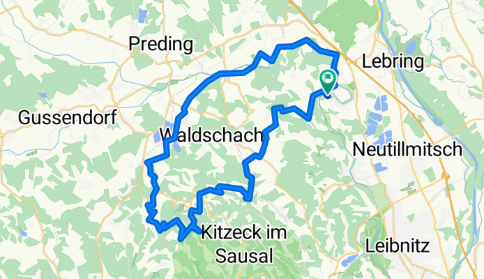


Jöß - Gabersdorf - Wagna - Seggauberg - Silberberg - Altenberg - Flamberg - Dexenberg - Jöß
Cycling route in Lang, Styria, Austria
- 48.1 km
- Distance
- 478 m
- Ascent
- 525 m
- Descent
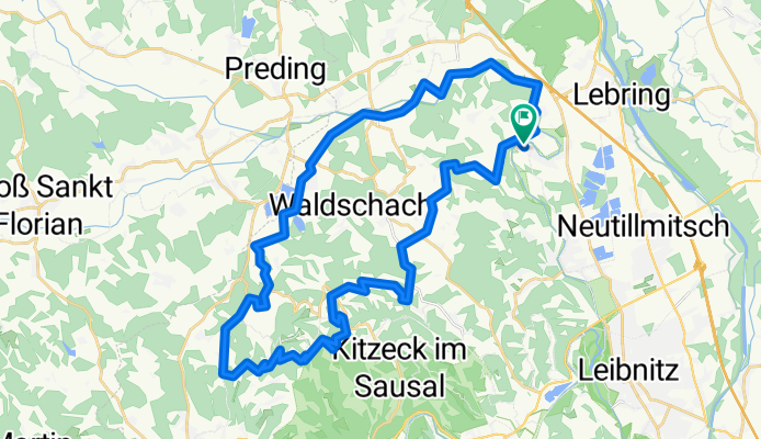
eBike Radtour 6.9.2025
Cycling route in Lang, Styria, Austria
- 42.2 km
- Distance
- 1,116 m
- Ascent
- 1,118 m
- Descent
Discover more routes
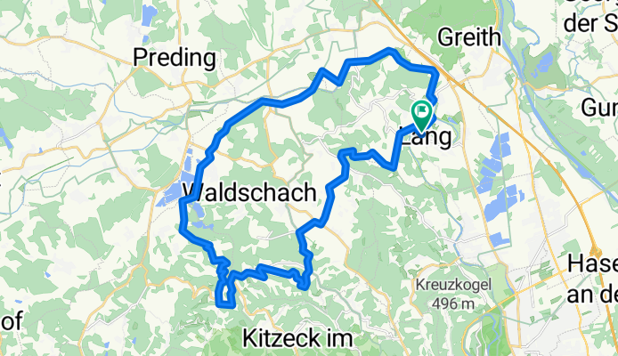
 Jöß, Altenberg, Kitzeck,Fresing, Greith, Muggenau, Grötsch, Hengsberg und zurück
- Distance
- 46.6 km
- Ascent
- 752 m
- Descent
- 750 m
- Location
- Lang, Styria, Austria
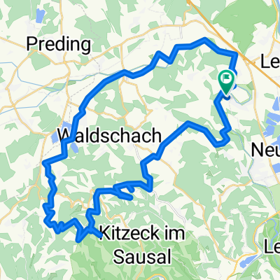
 Jöß - Kranachberg - Aflenz - Jöss
- Distance
- 47.2 km
- Ascent
- 707 m
- Descent
- 706 m
- Location
- Lang, Styria, Austria
 Radtour 6.9.2025 eBike
- Distance
- 40.9 km
- Ascent
- 851 m
- Descent
- 855 m
- Location
- Lang, Styria, Austria
 Lebring - Gabersdorf - Wolfsberg - Wildon
- Distance
- 44.4 km
- Ascent
- 230 m
- Descent
- 229 m
- Location
- Lang, Styria, Austria
 Auf den Spuren von Nestl Opa
- Distance
- 947.9 km
- Ascent
- 6,519 m
- Descent
- 5,432 m
- Location
- Lang, Styria, Austria
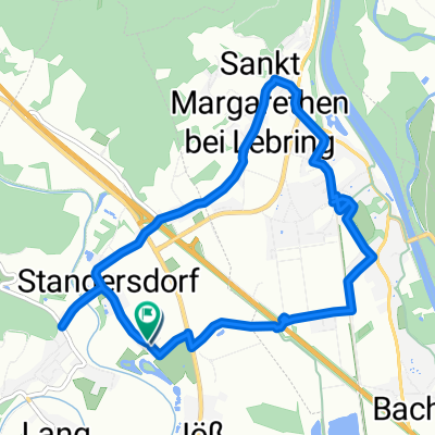 Stangersdorf-Lebring-St.Margarethen-retour
- Distance
- 8.9 km
- Ascent
- 43 m
- Descent
- 46 m
- Location
- Lang, Styria, Austria
 Sonntagstour 29.10.2023
- Distance
- 54.2 km
- Ascent
- 1,643 m
- Descent
- 1,642 m
- Location
- Lang, Styria, Austria
 Frannach-Mitterlabill-Schwarzautal-Laubegg
- Distance
- 48.6 km
- Ascent
- 548 m
- Descent
- 547 m
- Location
- Lang, Styria, Austria