
Cycling in Göpfritz an der Wild
Discover a map of 141 cycling routes and bike trails near Göpfritz an der Wild, created by our community.
Region portrait
Get to know Göpfritz an der Wild
Find the right bike route for you through Göpfritz an der Wild, where we've got 141 cycle routes to explore. Most people get on their bikes to ride here in the months of May and July.
8,592 km
Tracked distance
141
Cycle routes
Community
Most active users in Göpfritz an der Wild


From our community
The best bike routes in and around Göpfritz an der Wild
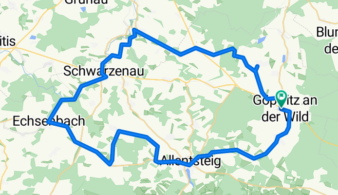
KnödelLand Radweg
Cycling route in Göpfritz an der Wild, Lower Austria, Austria
Der Knödel-Land-Radweg ist ein Radrundweg und Teil des regionalen Radfahr-Konzeptes der 5-Sinne-Radrunden ("Schmecken") des Zukunftsraumes Thayaland.
- 43.5 km
- Distance
- 431 m
- Ascent
- 433 m
- Descent

Göpfritz - Dobersberg
Cycling route in Göpfritz an der Wild, Lower Austria, Austria
- 40.7 km
- Distance
- 450 m
- Ascent
- 555 m
- Descent


Knödelland-Radweg ab Göpfritz an der Wild
Cycling route in Göpfritz an der Wild, Lower Austria, Austria
- 43.3 km
- Distance
- 457 m
- Ascent
- 506 m
- Descent

kleine Familienrunde zum Heurigen
Cycling route in Göpfritz an der Wild, Lower Austria, Austria
Von Göpfritz über großteils Waldwegen Richtung Dietmannsdorf. Kurz nach dem Wald geht es wieder zurück zum Steinbruch. Auf der Straße angelangt über Rothweinsdorf, Nonndorf, Haselberg zum Heurigen nach Reichharts. Von dort die Straße entlang nach Oed und wied
- 26.5 km
- Distance
- 211 m
- Ascent
- 199 m
- Descent
Discover more routes
 Thayarunde
- Distance
- 97.2 km
- Ascent
- 575 m
- Descent
- 575 m
- Location
- Göpfritz an der Wild, Lower Austria, Austria
 Thaya körtúra, saját
- Distance
- 118.7 km
- Ascent
- 596 m
- Descent
- 591 m
- Location
- Göpfritz an der Wild, Lower Austria, Austria
 Slavonice Tag 1
- Distance
- 52.1 km
- Ascent
- 480 m
- Descent
- 544 m
- Location
- Göpfritz an der Wild, Lower Austria, Austria
 göpfritz - raabs - karlstein - dobersberg - waidhofen - göpfritz
- Distance
- 72.1 km
- Ascent
- 457 m
- Descent
- 457 m
- Location
- Göpfritz an der Wild, Lower Austria, Austria
 Waldviertel: Knödel-Land-Radweg
- Distance
- 55.2 km
- Ascent
- 432 m
- Descent
- 432 m
- Location
- Göpfritz an der Wild, Lower Austria, Austria
 Thayarunde Göpfritz/Wild - Schwarzenau
- Distance
- 97.3 km
- Ascent
- 420 m
- Descent
- 497 m
- Location
- Göpfritz an der Wild, Lower Austria, Austria
 Göpfritz an der Wild - Retz
- Distance
- 112 km
- Ascent
- 514 m
- Descent
- 827 m
- Location
- Göpfritz an der Wild, Lower Austria, Austria
 durch den Tüpl
- Distance
- 47 km
- Ascent
- 454 m
- Descent
- 454 m
- Location
- Göpfritz an der Wild, Lower Austria, Austria