
Cycling in Unterhaching
Discover a map of 1,631 cycling routes and bike trails near Unterhaching, created by our community.
Region portrait
Get to know Unterhaching
Find the right bike route for you through Unterhaching, where we've got 1,631 cycle routes to explore. Most people get on their bikes to ride here in the months of May and July.
68,921 km
Tracked distance
1,631
Cycle routes
20,852
Population
Community
Most active users in Unterhaching


Handpicked routes
Discover Unterhaching through these collections
Tour
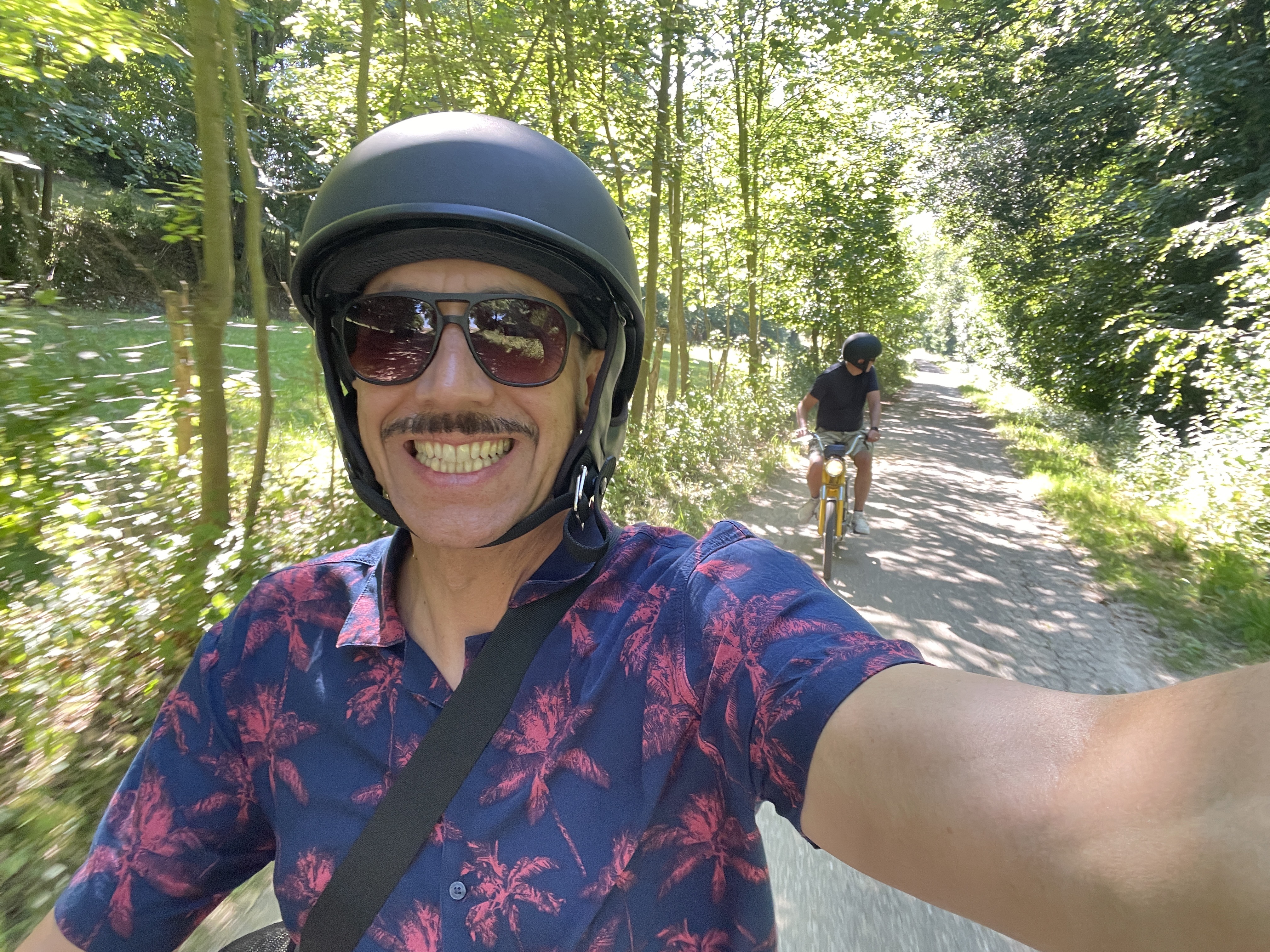
From our community
The best bike routes in and around Unterhaching

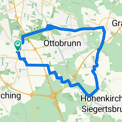
ala Sabrina München- Bad Tölz- München
Cycling route in Unterhaching, Bavaria, Germany
- 105.1 km
- Distance
- 499 m
- Ascent
- 499 m
- Descent

Münchner Forste-Gleißental-Trailtour
Cycling route in Unterhaching, Bavaria, Germany
- 35.5 km
- Distance
- 87 m
- Ascent
- 88 m
- Descent

Feierabendrunde: Ludwigshöhe
Cycling route in Unterhaching, Bavaria, Germany
- 36.6 km
- Distance
- 188 m
- Ascent
- 200 m
- Descent

Perlacher Forst - Ascholding
Cycling route in Unterhaching, Bavaria, Germany
- 67.7 km
- Distance
- 485 m
- Ascent
- 463 m
- Descent
Discover more routes
 München - Tegernsee
- Distance
- 50.1 km
- Ascent
- 378 m
- Descent
- 206 m
- Location
- Unterhaching, Bavaria, Germany
 200km + Klettertour
- Distance
- 203.6 km
- Ascent
- 1,284 m
- Descent
- 1,235 m
- Location
- Unterhaching, Bavaria, Germany
 Perlacher Forst nach Bad Tölz
- Distance
- 87 km
- Ascent
- 416 m
- Descent
- 414 m
- Location
- Unterhaching, Bavaria, Germany
 rundtour Putzbrunn
- Distance
- 25.3 km
- Ascent
- 33 m
- Descent
- 31 m
- Location
- Unterhaching, Bavaria, Germany
 Wendelstein Runde
- Distance
- 176.6 km
- Ascent
- 1,432 m
- Descent
- 1,377 m
- Location
- Unterhaching, Bavaria, Germany
 München Ost: Rundweg Mü-Fasangarten-Bayerbrunn-Schäftlarn-Fasangarten
- Distance
- 43.1 km
- Ascent
- 222 m
- Descent
- 221 m
- Location
- Unterhaching, Bavaria, Germany
 Münchner Feierabendrunde
- Distance
- 42 km
- Ascent
- 311 m
- Descent
- 311 m
- Location
- Unterhaching, Bavaria, Germany
 Südöstliche Münchner Forste-Tour
- Distance
- 68.3 km
- Ascent
- 173 m
- Descent
- 173 m
- Location
- Unterhaching, Bavaria, Germany
Routes from Unterhaching
By bicycle from
Unterhaching to Munich
By bicycle from
Unterhaching to Oberhaching
Routes to Unterhaching
By bicycle from
Munich to Unterhaching
By bicycle from
Neubiberg to Unterhaching