Cycling in Tautenhain
Discover a map of 48 cycling routes and bike trails near Tautenhain, created by our community.
Region portrait
Get to know Tautenhain
Find the right bike route for you through Tautenhain, where we've got 48 cycle routes to explore.
3,733 km
Tracked distance
48
Cycle routes
1,273
Population
Community
Most active users in Tautenhain
From our community
The best bike routes in and around Tautenhain
Tautenhain-Muehltal und zurück
Cycling route in Tautenhain, Thuringia, Germany
- 18.7 km
- Distance
- 283 m
- Ascent
- 283 m
- Descent
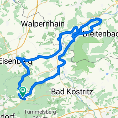
Tautenhain, Reichardsdorf, Köstritz,Mühltal, Tautenhain CLONED FROM ROUTE 506560
Cycling route in Tautenhain, Thuringia, Germany
- 27.9 km
- Distance
- 241 m
- Ascent
- 241 m
- Descent
Gemütliche Route in Tautenhain
Cycling route in Tautenhain, Thuringia, Germany
- 13.4 km
- Distance
- 440 m
- Ascent
- 442 m
- Descent
Tautenhain- Muehltal und zurück
Cycling route in Tautenhain, Thuringia, Germany
- 15.8 km
- Distance
- 273 m
- Ascent
- 273 m
- Descent
Discover more routes
 Mühltalrunde MTB
- Distance
- 17.6 km
- Ascent
- 301 m
- Descent
- 301 m
- Location
- Tautenhain, Thuringia, Germany
 Tautenburg / Dornburger Schlösser
- Distance
- 71.6 km
- Ascent
- 613 m
- Descent
- 613 m
- Location
- Tautenhain, Thuringia, Germany
 Bad Köstritz über Lerchenberg und Herrenallee
- Distance
- 23.9 km
- Ascent
- 367 m
- Descent
- 367 m
- Location
- Tautenhain, Thuringia, Germany
 Elstertalrunde
- Distance
- 48.1 km
- Ascent
- 538 m
- Descent
- 538 m
- Location
- Tautenhain, Thuringia, Germany
 Stetige Fahrt
- Distance
- 6.7 km
- Ascent
- 21 m
- Descent
- 99 m
- Location
- Tautenhain, Thuringia, Germany
 Alte Bierstraße 3, Tautenhain nach Mühlenstraße 7, Jena
- Distance
- 1,900.1 km
- Ascent
- 268 m
- Descent
- 583 m
- Location
- Tautenhain, Thuringia, Germany
 Rund um Bad Köstritz
- Distance
- 29.5 km
- Ascent
- 343 m
- Descent
- 343 m
- Location
- Tautenhain, Thuringia, Germany
 Tautenhain, Reichardsdorf, Köstritz,Mühltal, Tautenhain CLONED FROM ROUTE 506560
- Distance
- 28 km
- Ascent
- 218 m
- Descent
- 218 m
- Location
- Tautenhain, Thuringia, Germany


