
Cycling in Stützerbach
Discover a map of 54 cycling routes and bike trails near Stützerbach, created by our community.
Region portrait
Get to know Stützerbach
Find the right bike route for you through Stützerbach, where we've got 54 cycle routes to explore. Most people get on their bikes to ride here in the months of May and July.
2,539 km
Tracked distance
54
Cycle routes
1,698
Population
Community
Most active users in Stützerbach


From our community
The best bike routes in and around Stützerbach

080908_ FeierabendTour Rennsteig
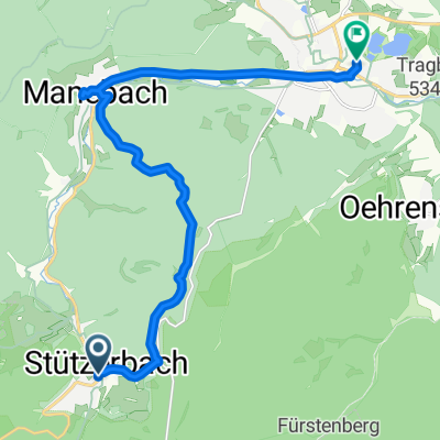
Cycling route in Stützerbach, Thuringia, Germany
- 19.6 km
- Distance
- 211 m
- Ascent
- 525 m
- Descent

Thüringer Wald III
Cycling route in Stützerbach, Thuringia, Germany
- 111.4 km
- Distance
- 1,498 m
- Ascent
- 1,498 m
- Descent

Ilmenau - Griesheim - Rottenbach ab Meyersgrund
Cycling route in Stützerbach, Thuringia, Germany
- 65.5 km
- Distance
- 532 m
- Ascent
- 522 m
- Descent

Thüringenrundfahrt Teil 3
Cycling route in Stützerbach, Thuringia, Germany
- 55 km
- Distance
- 708 m
- Ascent
- 699 m
- Descent
Discover more routes
 Ilmenau - Plaue - Crawinkel - Arnstadt ab Meyersgrund
- Distance
- 78 km
- Ascent
- 653 m
- Descent
- 649 m
- Location
- Stützerbach, Thuringia, Germany
 Hammeranstiege am Rennsteig (vsn. 2) Teil 3: Schmücke und Beerberg und dann die Rosenkopfstraße runter nach Suhl und heim
- Distance
- 36.9 km
- Ascent
- 614 m
- Descent
- 838 m
- Location
- Stützerbach, Thuringia, Germany
 Ilmtalradweg
- Distance
- 19.6 km
- Ascent
- 95 m
- Descent
- 289 m
- Location
- Stützerbach, Thuringia, Germany
 Stützerbach-Auerhahn-Dreiherrenstein-Allzunah-Bhf-Rennsteig
- Distance
- 14.1 km
- Ascent
- 263 m
- Descent
- 259 m
- Location
- Stützerbach, Thuringia, Germany
 Maennertag 2016 Kickelhahn
- Distance
- 13.5 km
- Ascent
- 366 m
- Descent
- 515 m
- Location
- Stützerbach, Thuringia, Germany
 Thüringer Wald II
- Distance
- 92.2 km
- Ascent
- 970 m
- Descent
- 970 m
- Location
- Stützerbach, Thuringia, Germany
 Ilmradweg von Stützerbach - Niederroßla
- Distance
- 94.8 km
- Ascent
- 91 m
- Descent
- 513 m
- Location
- Stützerbach, Thuringia, Germany
 Tag 4
Tag 4- Distance
- 141.1 km
- Ascent
- 305 m
- Descent
- 765 m
- Location
- Stützerbach, Thuringia, Germany