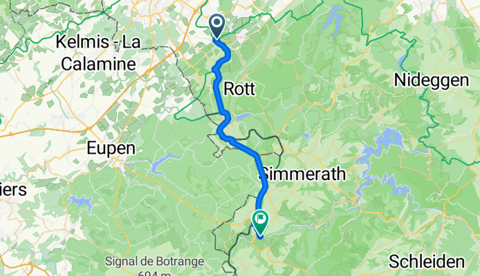
- 25.4 km
- 251 m
- 249 m
- Stolberg, North Rhine-Westphalia, Germany

Cycling in Stolberg
Discover a map of 1,317 cycling routes and bike trails near Stolberg, created by our community.
Region portrait
Get to know Stolberg
Find the right bike route for you through Stolberg, where we've got 1,317 cycle routes to explore. Most people get on their bikes to ride here in the months of July and August.
57,682 km
Tracked distance
1,317
Cycle routes
58,874
Population
Community
Most active users in Stolberg
Handpicked routes
Discover Stolberg through these collections
- Official Tour
 Tour
Tour Tour
Tour Tour
Tour
From our community
The best bike routes in and around Stolberg
5 Zeitschleife Kupfererbe - Die Meisterliche
Cycling route in Stolberg, North Rhine-Westphalia, Germany
- 26.8 km
- Distance
- 277 m
- Ascent
- 277 m
- Descent
18 Wasserburgen-Route: Etappe 6b Stolberg-Düren
Cycling route in Stolberg, North Rhine-Westphalia, Germany
- 43.6 km
- Distance
- 327 m
- Ascent
- 398 m
- Descent
Promenade 5a nach Stadtstraße
Cycling route in Stolberg, North Rhine-Westphalia, Germany
- 28.5 km
- Distance
- 395 m
- Ascent
- 256 m
- Descent
Laufen 22
Cycling route in Stolberg, North Rhine-Westphalia, Germany
- 18.9 km
- Distance
- 139 m
- Ascent
- 139 m
- Descent
Discover more routes
- MTB Breinigerberg
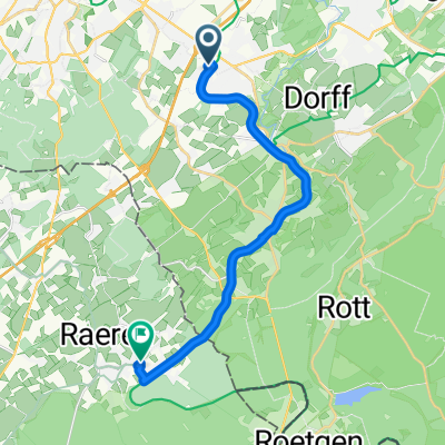
- Bobenden -> Iterstraße, Raeren
- 15 km
- 138 m
- 82 m
- Stolberg, North Rhine-Westphalia, Germany
- Beckerstraße nach Lintertstraße
- 4.2 km
- 7 m
- 69 m
- Stolberg, North Rhine-Westphalia, Germany
- Bobenden, Aachen nach Raerener Straße, Raeren
- 7.1 km
- 64 m
- 31 m
- Stolberg, North Rhine-Westphalia, Germany
- Wnd 9,4km Kornelimünster
- 9.4 km
- 169 m
- 169 m
- Stolberg, North Rhine-Westphalia, Germany
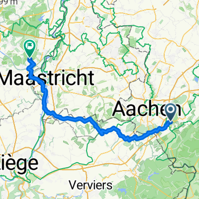
- Aachen - Lanaken
- 67.9 km
- 523 m
- 703 m
- Stolberg, North Rhine-Westphalia, Germany
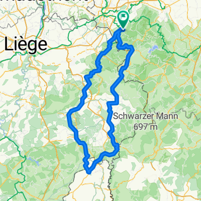
- Venwegen-St. Vith-Stavelot- Venwegen
- 209.9 km
- 2,659 m
- 2,659 m
- Stolberg, North Rhine-Westphalia, Germany
- AC-Brand-Walheim-Raeren(B)-Lichtenbusch-Brand
- 37.3 km
- 210 m
- 210 m
- Stolberg, North Rhine-Westphalia, Germany
Routes from Stolberg
By bicycle from
Stolberg to Würselen
By bicycle from
Stolberg to Aachen
Routes to Stolberg
By bicycle from
Würselen to Stolberg
By bicycle from
Aachen to Stolberg


