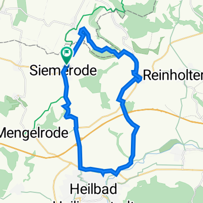
Streitholz 14, Hohes Kreuz nach L3080 12, Heilbad Heiligenstadt
- 19.3 km
- 118 m
- 250 m
- Siemerode, Thuringia, Germany

Discover a map of 58 cycling routes and bike trails near Siemerode, created by our community.
Region portrait
Find the right bike route for you through Siemerode, where we've got 58 cycle routes to explore. Most people get on their bikes to ride here in the months of May and July.
2,585 km
Tracked distance
58
Cycle routes
Community
From our community
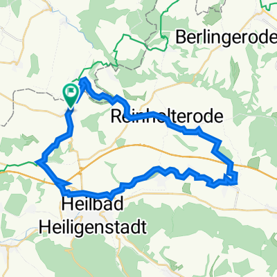
Cycling route in Siemerode, Thuringia, Germany
Cycling route in Siemerode, Thuringia, Germany
Cycling route in Siemerode, Thuringia, Germany
Cycling route in Siemerode, Thuringia, Germany