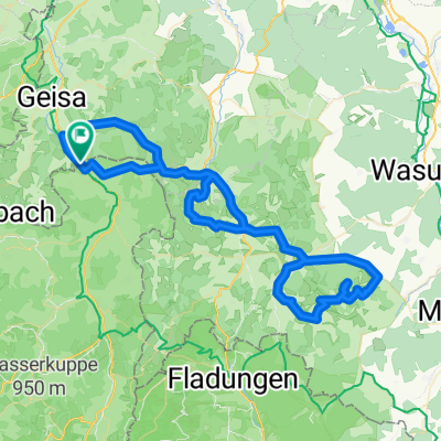


Rhönrunde mit Weitblick 2
- 107.7 km
- 1,679 m
- 1,679 m
- Schleid, Thuringia, Germany

Discover a map of 36 cycling routes and bike trails near Schleid, created by our community.
Region portrait
Find the right bike route for you through Schleid, where we've got 36 cycle routes to explore.
2,250 km
Tracked distance
36
Cycle routes
1,137
Population
Community
From our community

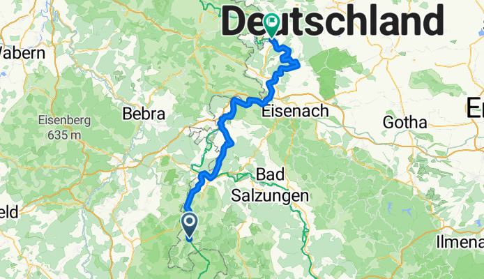
Cycling route in Schleid, Thuringia, Germany
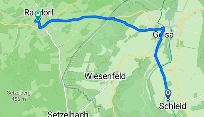
Cycling route in Schleid, Thuringia, Germany