
Cycling in Rotterode
Discover a map of 38 cycling routes and bike trails near Rotterode, created by our community.
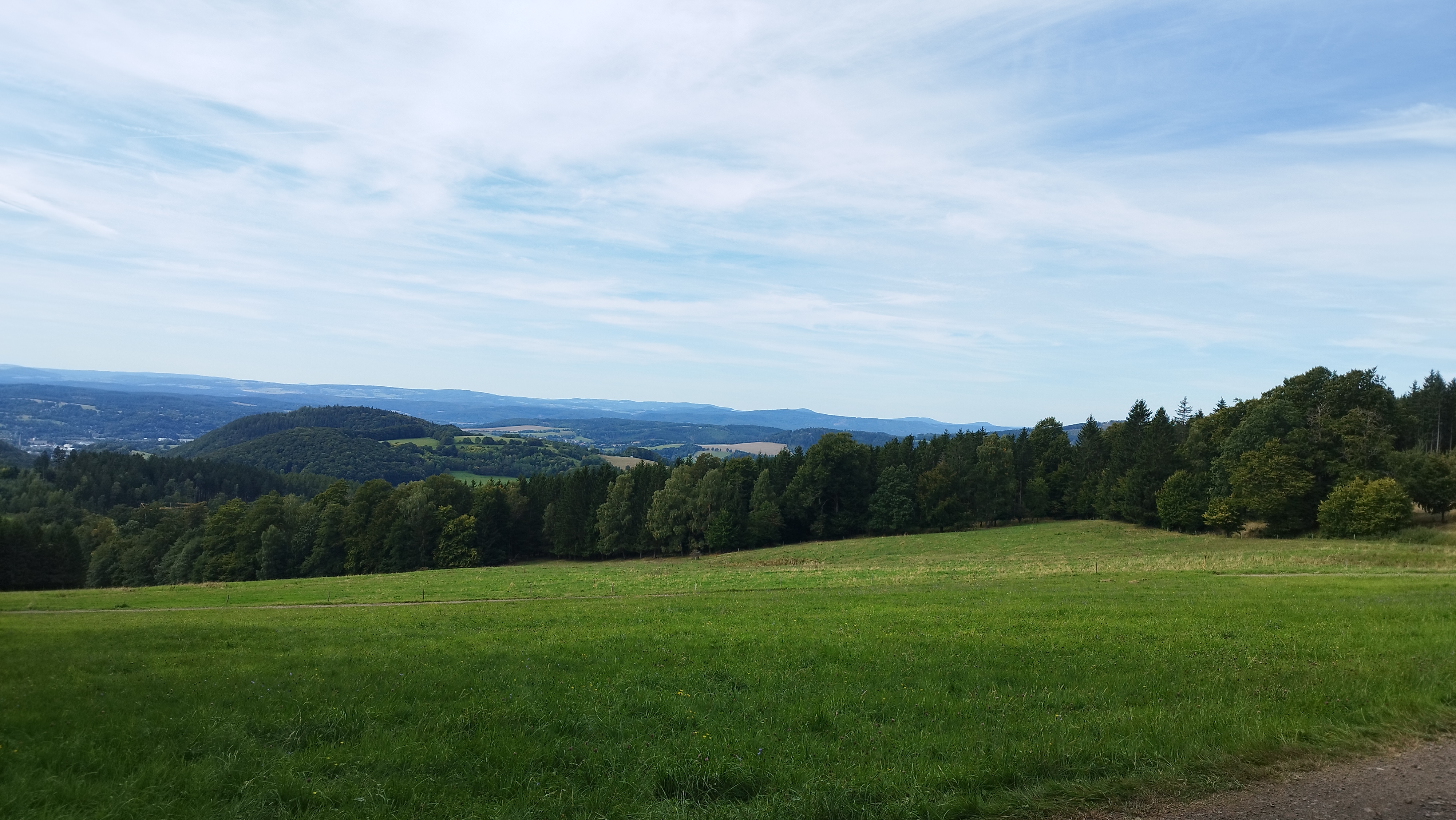
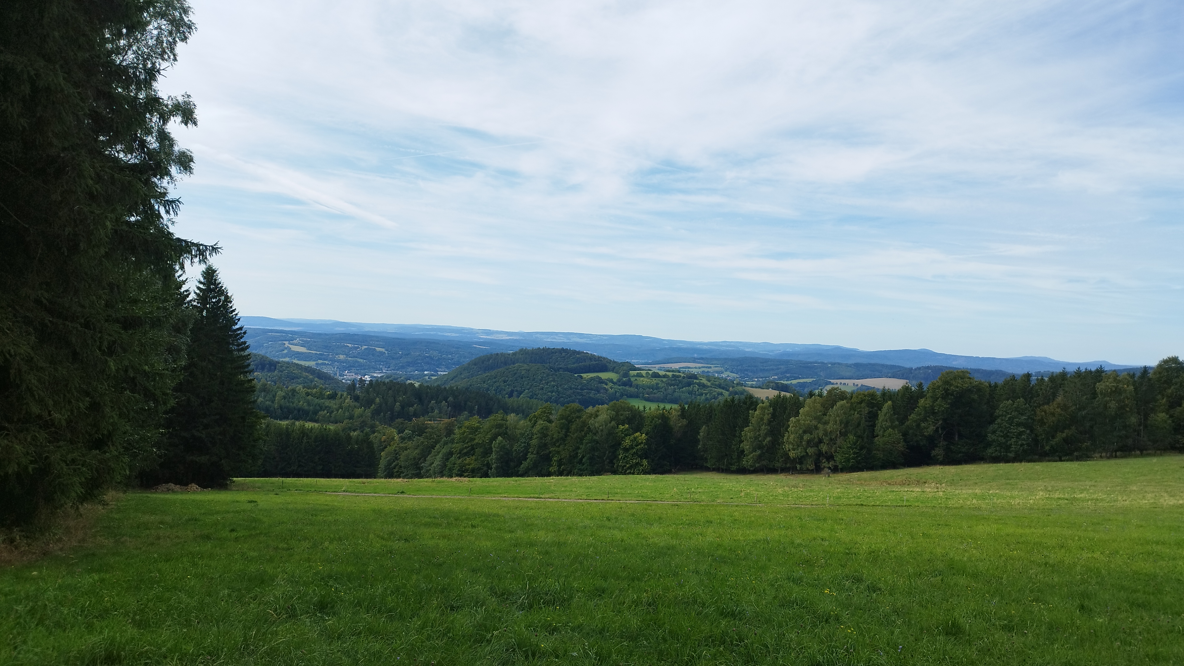
Region portrait
Get to know Rotterode
Find the right bike route for you through Rotterode, where we've got 38 cycle routes to explore.
1,198 km
Tracked distance
38
Cycle routes
854
Population


From our community
The best bike routes in and around Rotterode
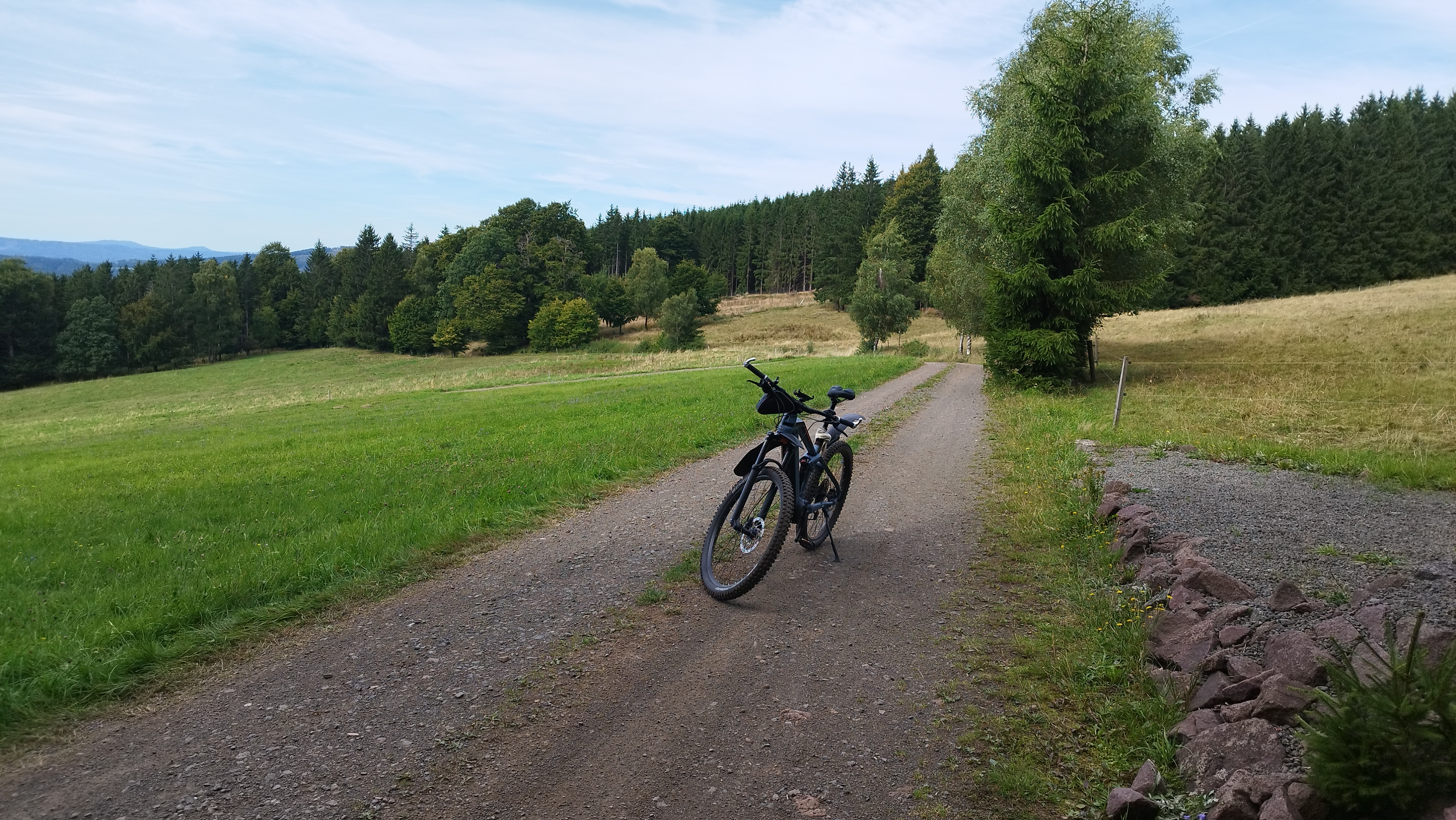
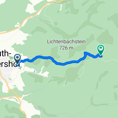
Heidenstein nach An den Birken
Cycling route in Rotterode, Thuringia, Germany
- 14.5 km
- Distance
- 356 m
- Ascent
- 402 m
- Descent

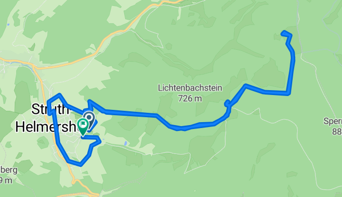
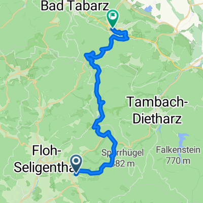
Asbach-Rennsteig
Cycling route in Rotterode, Thuringia, Germany
Von Asbach zum Rennsteig (Sperrhügel
- 6.8 km
- Distance
- 528 m
- Ascent
- 116 m
- Descent

Rotterrode-Gelberstein(Rennsteig)
Cycling route in Rotterode, Thuringia, Germany
- 10.6 km
- Distance
- 300 m
- Ascent
- 219 m
- Descent

Rotterode-Erfurt 95 km
Cycling route in Rotterode, Thuringia, Germany
- 90.2 km
- Distance
- 597 m
- Ascent
- 929 m
- Descent
Discover more routes
 Heidenstein 53, Floh-Seligenthal nach Straße ohne Straßennamen, Floh-Seligenthal
- Distance
- 3.5 km
- Ascent
- 276 m
- Descent
- 0 m
- Location
- Rotterode, Thuringia, Germany
 Tambach-Friedrichroda
- Distance
- 62 km
- Ascent
- 950 m
- Descent
- 950 m
- Location
- Rotterode, Thuringia, Germany
 Straße ohne Straßennamen, Floh-Seligenthal nach Kirchweg 47, Floh-Seligenthal
- Distance
- 2.4 km
- Ascent
- 0 m
- Descent
- 160 m
- Location
- Rotterode, Thuringia, Germany
 An den Birken 2, Floh-Seligenthal nach An den Birken 2, Floh-Seligenthal
- Distance
- 15.1 km
- Ascent
- 402 m
- Descent
- 449 m
- Location
- Rotterode, Thuringia, Germany
 Heidenstein 39, Floh-Seligenthal nach An den Birken 2, Floh-Seligenthal
- Distance
- 11.6 km
- Ascent
- 282 m
- Descent
- 323 m
- Location
- Rotterode, Thuringia, Germany
 Heidenstein, Floh-Seligenthal nach Burchardtsweg, Friedrichroda
- Distance
- 27.6 km
- Ascent
- 779 m
- Descent
- 817 m
- Location
- Rotterode, Thuringia, Germany
 Heidenstein, Floh-Seligenthal nach Burchardtsweg, Friedrichroda
- Distance
- 23.9 km
- Ascent
- 623 m
- Descent
- 662 m
- Location
- Rotterode, Thuringia, Germany
 Rotterode-Wachsenrasen-Oberschönau (11 km)
- Distance
- 11.1 km
- Ascent
- 286 m
- Descent
- 365 m
- Location
- Rotterode, Thuringia, Germany