
Cycling in Obermehler
Discover a map of 12 cycling routes and bike trails near Obermehler, created by our community.
Region portrait
Get to know Obermehler
Find the right bike route for you through Obermehler, where we've got 12 cycle routes to explore.
259 km
Tracked distance
12
Cycle routes
1,049
Population
Community
Most active users in Obermehler


From our community
The best bike routes in and around Obermehler

9. Etappe: Volkenroda - Niederdorla
Cycling route in Obermehler, Thuringia, Germany
- 46.2 km
- Distance
- 338 m
- Ascent
- 412 m
- Descent

Hauptstraße 55, Mühlhausen/Thüringen nach Hauptstraße 56, Mühlhausen/Thüringen
Cycling route in Obermehler, Thuringia, Germany
- 4.4 km
- Distance
- 17 m
- Ascent
- 19 m
- Descent

Hauptstraße 56, Mühlhausen/Thüringen nach Hauptstraße 16A, Körner
Cycling route in Obermehler, Thuringia, Germany
- 4.5 km
- Distance
- 19 m
- Ascent
- 134 m
- Descent

Hauptstraße 55, Mühlhausen/Thüringen nach Hauptstraße 55, Mühlhausen/Thüringen
Cycling route in Obermehler, Thuringia, Germany
- 19.5 km
- Distance
- 435 m
- Ascent
- 439 m
- Descent
Discover more routes
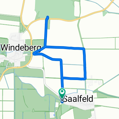
 Hauptstraße 56, Mühlhausen/Thüringen nach Hauptstraße 56, Mühlhausen/Thüringen
- Distance
- 9.9 km
- Ascent
- 106 m
- Descent
- 160 m
- Location
- Obermehler, Thuringia, Germany
 Volkenroda Wendehausen
- Distance
- 33.6 km
- Ascent
- 286 m
- Descent
- 276 m
- Location
- Obermehler, Thuringia, Germany
 Hauptstraße 56, Mühlhausen/Thüringen nach Hauptstraße 56, Mühlhausen/Thüringen
- Distance
- 14.6 km
- Ascent
- 201 m
- Descent
- 253 m
- Location
- Obermehler, Thuringia, Germany
 Hauptstraße 56, Mühlhausen/Thüringen nach Hauptstraße 56, Mühlhausen/Thüringen
- Distance
- 4.2 km
- Ascent
- 11 m
- Descent
- 13 m
- Location
- Obermehler, Thuringia, Germany
 Hauptstraße nach Hauptstraße
- Distance
- 4.9 km
- Ascent
- 37 m
- Descent
- 85 m
- Location
- Obermehler, Thuringia, Germany
 Hauptstraße 55, Mühlhausen/Thüringen nach Hauptstraße 55, Mühlhausen/Thüringen
- Distance
- 33.5 km
- Ascent
- 351 m
- Descent
- 400 m
- Location
- Obermehler, Thuringia, Germany
 Hainich_Tour_1
- Distance
- 59.3 km
- Ascent
- 432 m
- Descent
- 432 m
- Location
- Obermehler, Thuringia, Germany
 Hauptstraße 55, Mühlhausen/Thüringen nach Hauptstraße 56, Mühlhausen/Thüringen
- Distance
- 24.2 km
- Ascent
- 468 m
- Descent
- 516 m
- Location
- Obermehler, Thuringia, Germany