
Cycling in Oberhof
Discover a map of 340 cycling routes and bike trails near Oberhof, created by our community.
Region portrait
Get to know Oberhof
Find the right bike route for you through Oberhof, where we've got 340 cycle routes to explore. Most people get on their bikes to ride here in the months of August and September.
18,804 km
Tracked distance
340
Cycle routes
1,602
Population


From our community
The best bike routes in and around Oberhof

2013-Sonntag-nachmittag
Cycling route in Oberhof, Free State of Thuringia, Germany
- 112.7 km
- Distance
- 291 m
- Ascent
- 929 m
- Descent

Oberhof Ohratalsperre
Cycling route in Oberhof, Free State of Thuringia, Germany
- 30.9 km
- Distance
- 637 m
- Ascent
- 603 m
- Descent
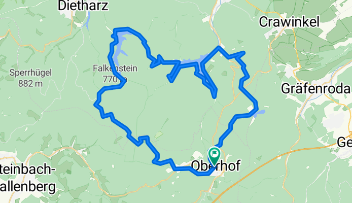
Oberhof-Drei-Talsperren-Tour
Cycling route in Oberhof, Free State of Thuringia, Germany
Drei-Talsperren-Tour
(cloned from route 1972764)
(cloned from route 3134127)
- 44.4 km
- Distance
- 814 m
- Ascent
- 815 m
- Descent

Oberhof_Erfurter Hütte
Cycling route in Oberhof, Free State of Thuringia, Germany
Straße
- 9.8 km
- Distance
- 198 m
- Ascent
- 135 m
- Descent
Discover more routes
 Rundtour über Brotterode
- Distance
- 89.9 km
- Ascent
- 1,022 m
- Descent
- 1,271 m
- Location
- Oberhof, Free State of Thuringia, Germany
 Oberhof nach Fladungen Christian
- Distance
- 89.3 km
- Ascent
- 729 m
- Descent
- 1,102 m
- Location
- Oberhof, Free State of Thuringia, Germany
 Talsperrenrunde
- Distance
- 30.8 km
- Ascent
- 563 m
- Descent
- 563 m
- Location
- Oberhof, Free State of Thuringia, Germany
 MTB-Oberhof-34km-Runde
- Distance
- 33.6 km
- Ascent
- 749 m
- Descent
- 732 m
- Location
- Oberhof, Free State of Thuringia, Germany
 Langlaufrunde um den Schneekopf
- Distance
- 16.8 km
- Ascent
- 379 m
- Descent
- 379 m
- Location
- Oberhof, Free State of Thuringia, Germany
 Oberhoftour 3. Tag
- Distance
- 35.5 km
- Ascent
- 511 m
- Descent
- 486 m
- Location
- Oberhof, Free State of Thuringia, Germany
 Rundtour Oberhof Talsperre Ratscher
- Distance
- 107.3 km
- Ascent
- 1,306 m
- Descent
- 1,481 m
- Location
- Oberhof, Free State of Thuringia, Germany
 Oberhof Talsperre Ratscher Ilmenau Oberhof
- Distance
- 120.4 km
- Ascent
- 1,433 m
- Descent
- 1,424 m
- Location
- Oberhof, Free State of Thuringia, Germany