Cycling in Masserberg
Discover a map of 123 cycling routes and bike trails near Masserberg, created by our community.
Region portrait
Get to know Masserberg
Find the right bike route for you through Masserberg, where we've got 123 cycle routes to explore. Most people get on their bikes to ride here in the months of August and September.
12,990 km
Tracked distance
123
Cycle routes
2,828
Population
Community
Most active users in Masserberg
From our community
The best bike routes in and around Masserberg
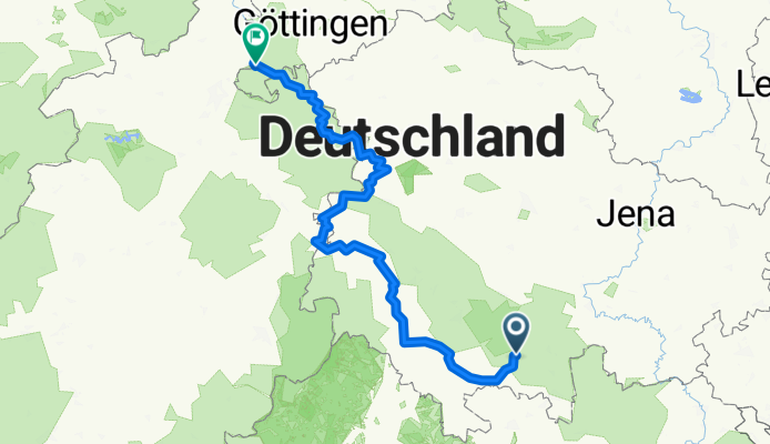
Werra von der Quelle bis Mündung
Cycling route in Masserberg, Thuringia, Germany
- 323.1 km
- Distance
- 1,571 m
- Ascent
- 2,173 m
- Descent
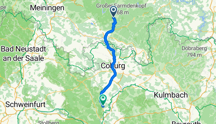
Gehren - Rattelsdorf
Cycling route in Masserberg, Thuringia, Germany
- 70.2 km
- Distance
- 344 m
- Ascent
- 872 m
- Descent
RennsteigFeierabendrunde CLONED FROM ROUTE 187129
Cycling route in Masserberg, Thuringia, Germany
- 33.6 km
- Distance
- 476 m
- Ascent
- 476 m
- Descent
Discover more routes
 Werratalradweg-1
- Distance
- 283.4 km
- Ascent
- 209 m
- Descent
- 835 m
- Location
- Masserberg, Thuringia, Germany
 2025-05-08_Masserberg-Werra-Meiningen
- Distance
- 71.5 km
- Ascent
- 511 m
- Descent
- 1,001 m
- Location
- Masserberg, Thuringia, Germany
 Werratal-Radweg
- Distance
- 278.6 km
- Ascent
- 145 m
- Descent
- 798 m
- Location
- Masserberg, Thuringia, Germany
 Talsperre Schönbrunn
- Distance
- 43.6 km
- Ascent
- 1,031 m
- Descent
- 1,031 m
- Location
- Masserberg, Thuringia, Germany
 Skoda aktiv Intensiv 13.09.2009 JE_HR
- Distance
- 86.4 km
- Ascent
- 804 m
- Descent
- 1,125 m
- Location
- Masserberg, Thuringia, Germany
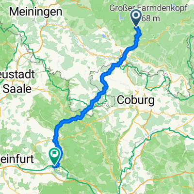 A1 Am Badehaus, Masserberg nach Am Ziegelbrunn, Haßfurt
- Distance
- 88.4 km
- Ascent
- 860 m
- Descent
- 1,427 m
- Location
- Masserberg, Thuringia, Germany
 Masserberg/Königsetappe FP 09.2013
- Distance
- 160.3 km
- Ascent
- 1,694 m
- Descent
- 1,691 m
- Location
- Masserberg, Thuringia, Germany
 Masserberg - Friedrichshöe - Ski
- Distance
- 15.2 km
- Ascent
- 252 m
- Descent
- 252 m
- Location
- Masserberg, Thuringia, Germany
