
Cycling in Lage
Discover a map of 437 cycling routes and bike trails near Lage, created by our community.
Region portrait
Get to know Lage
Find the right bike route for you through Lage, where we've got 437 cycle routes to explore. Most people get on their bikes to ride here in the months of May and June.
13,408 km
Tracked distance
437
Cycle routes
36,097
Population
Community
Most active users in Lage


From our community
The best bike routes in and around Lage

Lage Hörste Herrmann bikemap
Cycling route in Lage, North Rhine-Westphalia, Germany
- 39.3 km
- Distance
- 646 m
- Ascent
- 529 m
- Descent

Lage Hermannsdenkmal
Cycling route in Lage, North Rhine-Westphalia, Germany
- 28.7 km
- Distance
- 386 m
- Ascent
- 385 m
- Descent

OWL Lippe: Hermann-Gauseköte-Oerlinghausen
Cycling route in Lage, North Rhine-Westphalia, Germany
Strecke:
Start: Lage
Pivitsheide/Donopperteiche
Hermann (steil)
Gauseköte (sehr steil)
Kreuzkrug und ab durch die Senne bis Augustdorf
Segelflugplatz Oerlinghausen
Schleife über die Brücke der A2
Oerlinghausen "City"
- 87.1 km
- Distance
- 772 m
- Ascent
- 772 m
- Descent

Sightseeing: Lage-BS-Kirchheide-Vlotho-Kalletal-Hollenstein
Cycling route in Lage, North Rhine-Westphalia, Germany
Sehr schöne Route für einen Nachmittagsausflug.
Die Steigungen nach Kirchheide und Röntorf sind recht anspruchsvoll. Danach kann man sich aber in Richtung Vlotho etwas entspannen. Eine leichte aber doch spürbare Steigung zieht sich dann bis ins Kalletal.
Eine Pause in der Ei
- 70 km
- Distance
- 620 m
- Ascent
- 593 m
- Descent
Discover more routes
 Rübenroute ab Schützenstraße
- Distance
- 42.1 km
- Ascent
- 231 m
- Descent
- 229 m
- Location
- Lage, North Rhine-Westphalia, Germany
 Billinghausen Sporthalle nach Lage Schützenstraße
- Distance
- 6.3 km
- Ascent
- 11 m
- Descent
- 49 m
- Location
- Lage, North Rhine-Westphalia, Germany
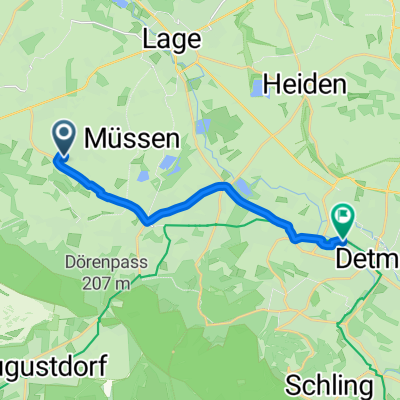 Billinghausen Sporthalle nach Elisabethstraße 90, Detmold
- Distance
- 10.3 km
- Ascent
- 50 m
- Descent
- 61 m
- Location
- Lage, North Rhine-Westphalia, Germany
 Sportlich-Sehenswert
- Distance
- 125.8 km
- Ascent
- 779 m
- Descent
- 777 m
- Location
- Lage, North Rhine-Westphalia, Germany
 Sonntagmorgen Rundtour zum Skypoint Detmold und zurück.
- Distance
- 25.8 km
- Ascent
- 114 m
- Descent
- 113 m
- Location
- Lage, North Rhine-Westphalia, Germany
 OWL Lippe: Hermann-Gauseköte-Oerlinghausen
- Distance
- 89.9 km
- Ascent
- 676 m
- Descent
- 676 m
- Location
- Lage, North Rhine-Westphalia, Germany
 zu den Externsteinen
- Distance
- 43.8 km
- Ascent
- 243 m
- Descent
- 243 m
- Location
- Lage, North Rhine-Westphalia, Germany
 MTB Teutoburgerwald
- Distance
- 40.5 km
- Ascent
- 614 m
- Descent
- 614 m
- Location
- Lage, North Rhine-Westphalia, Germany