
Cycling in Körner
Discover a map of 36 cycling routes and bike trails near Körner, created by our community.
Region portrait
Get to know Körner
Find the right bike route for you through Körner, where we've got 36 cycle routes to explore.
1,330 km
Tracked distance
36
Cycle routes
1,923
Population
Community
Most active users in Körner

From our community
The best bike routes in and around Körner


Grabe-Körner-Peischel-Bollstedt-Grabe
Cycling route in Körner, Thuringia, Germany
- 16.1 km
- Distance
- 77 m
- Ascent
- 78 m
- Descent

Spielplatz-ArmeeTeich-GrasTeich-KälberTeich-Volkenroda-Eselstieg
Cycling route in Körner, Thuringia, Germany
- 9.7 km
- Distance
- 181 m
- Ascent
- 182 m
- Descent
Discover more routes
 Grabe-Reiser-UNS-UWR-Grabe
- Distance
- 20.9 km
- Ascent
- 79 m
- Descent
- 81 m
- Location
- Körner, Thuringia, Germany
 Grabe - Langensalzaer Kleinbahn und zurück
- Distance
- 40.7 km
- Ascent
- 216 m
- Descent
- 214 m
- Location
- Körner, Thuringia, Germany
 kleine Runde Test
- Distance
- 21.5 km
- Ascent
- 141 m
- Descent
- 145 m
- Location
- Körner, Thuringia, Germany
 Grabe-Saalfeld-Windeberg-Kaisershagen-Reiser-Mühlhausen-Görmar-Bollstedt-Grabe
- Distance
- 27.3 km
- Ascent
- 218 m
- Descent
- 217 m
- Location
- Körner, Thuringia, Germany
 Grabe-Körner-Gottern-Bollstedt-Grabe
- Distance
- 22.2 km
- Ascent
- 117 m
- Descent
- 117 m
- Location
- Körner, Thuringia, Germany
 Grabe - Ebeleben
- Distance
- 37.1 km
- Ascent
- 109 m
- Descent
- 106 m
- Location
- Körner, Thuringia, Germany
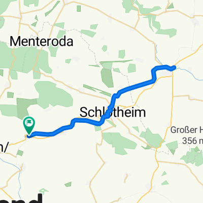
 Körner - Volkenroda - Mehrstedt - Holzsussra
- Distance
- 17.7 km
- Ascent
- 195 m
- Descent
- 149 m
- Location
- Körner, Thuringia, Germany
 Unstutradweg bis zur Quelle
- Distance
- 55.4 km
- Ascent
- 315 m
- Descent
- 315 m
- Location
- Körner, Thuringia, Germany