
Cycling in Kirchheilingen
Discover a map of 27 cycling routes and bike trails near Kirchheilingen, created by our community.
Region portrait
Get to know Kirchheilingen
Find the right bike route for you through Kirchheilingen, where we've got 27 cycle routes to explore.
2,028 km
Tracked distance
27
Cycle routes
882
Population
Community
Most active users in Kirchheilingen


From our community
The best bike routes in and around Kirchheilingen

Hauptstraße 111, Kirchheilingen nach Hauptstraße 111A, Kirchheilingen
Cycling route in Kirchheilingen, Thuringia, Germany
- 48.6 km
- Distance
- 279 m
- Ascent
- 276 m
- Descent

Hauptstraße 111A, Kirchheilingen nach Hauptstraße 106, Kirchheilingen
Cycling route in Kirchheilingen, Thuringia, Germany
- 76 km
- Distance
- 285 m
- Ascent
- 354 m
- Descent

Hauptstraße 115, Kirchheilingen nach Hauptstraße 111A, Kirchheilingen
Cycling route in Kirchheilingen, Thuringia, Germany
- 86.2 km
- Distance
- 578 m
- Ascent
- 577 m
- Descent

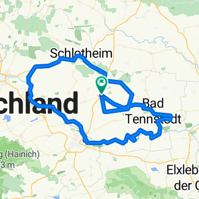
Rundkurs Kirchheilingen
Cycling route in Kirchheilingen, Thuringia, Germany
- 48.1 km
- Distance
- 311 m
- Ascent
- 281 m
- Descent
Discover more routes
 Susanne
- Distance
- 17.1 km
- Ascent
- 75 m
- Descent
- 146 m
- Location
- Kirchheilingen, Thuringia, Germany
 Hauptstraße 111, Kirchheilingen nach Hauptstraße 106, Kirchheilingen
- Distance
- 54.1 km
- Ascent
- 1,010 m
- Descent
- 1,009 m
- Location
- Kirchheilingen, Thuringia, Germany
 Entspannende Route in Kirchheilingen
- Distance
- 53.1 km
- Ascent
- 394 m
- Descent
- 396 m
- Location
- Kirchheilingen, Thuringia, Germany
 Pfingstmontags Tour
- Distance
- 75.6 km
- Ascent
- 509 m
- Descent
- 505 m
- Location
- Kirchheilingen, Thuringia, Germany
 Unstrut Radweg Kirchheilingen
- Distance
- 45.1 km
- Ascent
- 420 m
- Descent
- 447 m
- Location
- Kirchheilingen, Thuringia, Germany
 Hauptstraße 111A, Kirchheilingen nach Hauptstraße 111A, Kirchheilingen
- Distance
- 94.6 km
- Ascent
- 288 m
- Descent
- 398 m
- Location
- Kirchheilingen, Thuringia, Germany
 Hauptstraße 111, Kirchheilingen nach Hauptstraße 106, Kirchheilingen
- Distance
- 51.6 km
- Ascent
- 316 m
- Descent
- 286 m
- Location
- Kirchheilingen, Thuringia, Germany
 Weissensee-Gräfentonna
- Distance
- 139.2 km
- Ascent
- 369 m
- Descent
- 473 m
- Location
- Kirchheilingen, Thuringia, Germany