MTB Schneekopfrunde
- 92.8 km
- 1,192 m
- 1,192 m
- Hörselgau, Thuringia, Germany

Find the right bike route for you through Hörselgau, where we've got 43 cycle routes to explore. Most people get on their bikes to ride here in the month of June.
Tracked distance
Cycle routes
Population
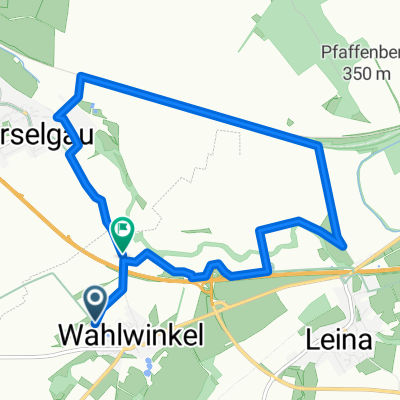
Cycling route in Hörselgau, Thuringia, Germany
Cycling route in Hörselgau, Thuringia, Germany
Cycling route in Hörselgau, Thuringia, Germany
Cycling route in Hörselgau, Thuringia, Germany