
Cycling in Hohenfelden
Discover a map of 41 cycling routes and bike trails near Hohenfelden, created by our community.
Region portrait
Get to know Hohenfelden
Find the right bike route for you through Hohenfelden, where we've got 41 cycle routes to explore.
653 km
Tracked distance
41
Cycle routes
372
Population
Community
Most active users in Hohenfelden


From our community
The best bike routes in and around Hohenfelden

Langsame Fahrt in Hohenfelden
Cycling route in Hohenfelden, Free State of Thuringia, Germany
- 5.5 km
- Distance
- 68 m
- Ascent
- 72 m
- Descent


K311, Hohenfelden nach Im Dorfe, Kranichfeld
Cycling route in Hohenfelden, Free State of Thuringia, Germany
- 8.2 km
- Distance
- 72 m
- Ascent
- 196 m
- Descent

Langsame Fahrt in Hohenfelden
Cycling route in Hohenfelden, Free State of Thuringia, Germany
- 5.4 km
- Distance
- 77 m
- Ascent
- 80 m
- Descent

1.Route
Cycling route in Hohenfelden, Free State of Thuringia, Germany
- 28.6 km
- Distance
- 294 m
- Ascent
- 292 m
- Descent
Discover more routes
 vom Riechheimer Berg bergab nach Erfurt
- Distance
- 9.1 km
- Ascent
- 75 m
- Descent
- 301 m
- Location
- Hohenfelden, Free State of Thuringia, Germany
 Wendepunktstrecke Triathlon Erfurt 2009
- Distance
- 10.5 km
- Ascent
- 117 m
- Descent
- 110 m
- Location
- Hohenfelden, Free State of Thuringia, Germany
 Am Stausee 11, Hohenfelden nach Am Stausee 9, Hohenfelden
- Distance
- 0.3 km
- Ascent
- 7 m
- Descent
- 22 m
- Location
- Hohenfelden, Free State of Thuringia, Germany
 Rund um den Riechheimer
- Distance
- 9.2 km
- Ascent
- 205 m
- Descent
- 205 m
- Location
- Hohenfelden, Free State of Thuringia, Germany
 Am Stausee 2, Hohenfelden nach Radeweller Weg 13, Halle (Saale)
- Distance
- 103.9 km
- Ascent
- 787 m
- Descent
- 1,008 m
- Location
- Hohenfelden, Free State of Thuringia, Germany
 Moderate route in Kranichfeld
- Distance
- 0.4 km
- Ascent
- 0 m
- Descent
- 0 m
- Location
- Hohenfelden, Free State of Thuringia, Germany
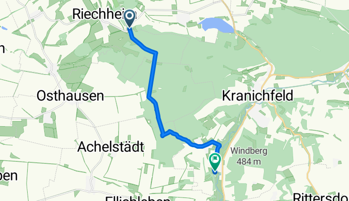
 Riechheim nach Kranichfeld
- Distance
- 20.9 km
- Ascent
- 183 m
- Descent
- 399 m
- Location
- Hohenfelden, Free State of Thuringia, Germany
 Wanderung Riechheim
- Distance
- 5.8 km
- Ascent
- 73 m
- Descent
- 105 m
- Location
- Hohenfelden, Free State of Thuringia, Germany