
Cycling in Georgenthal
Discover a map of 66 cycling routes and bike trails near Georgenthal, created by our community.
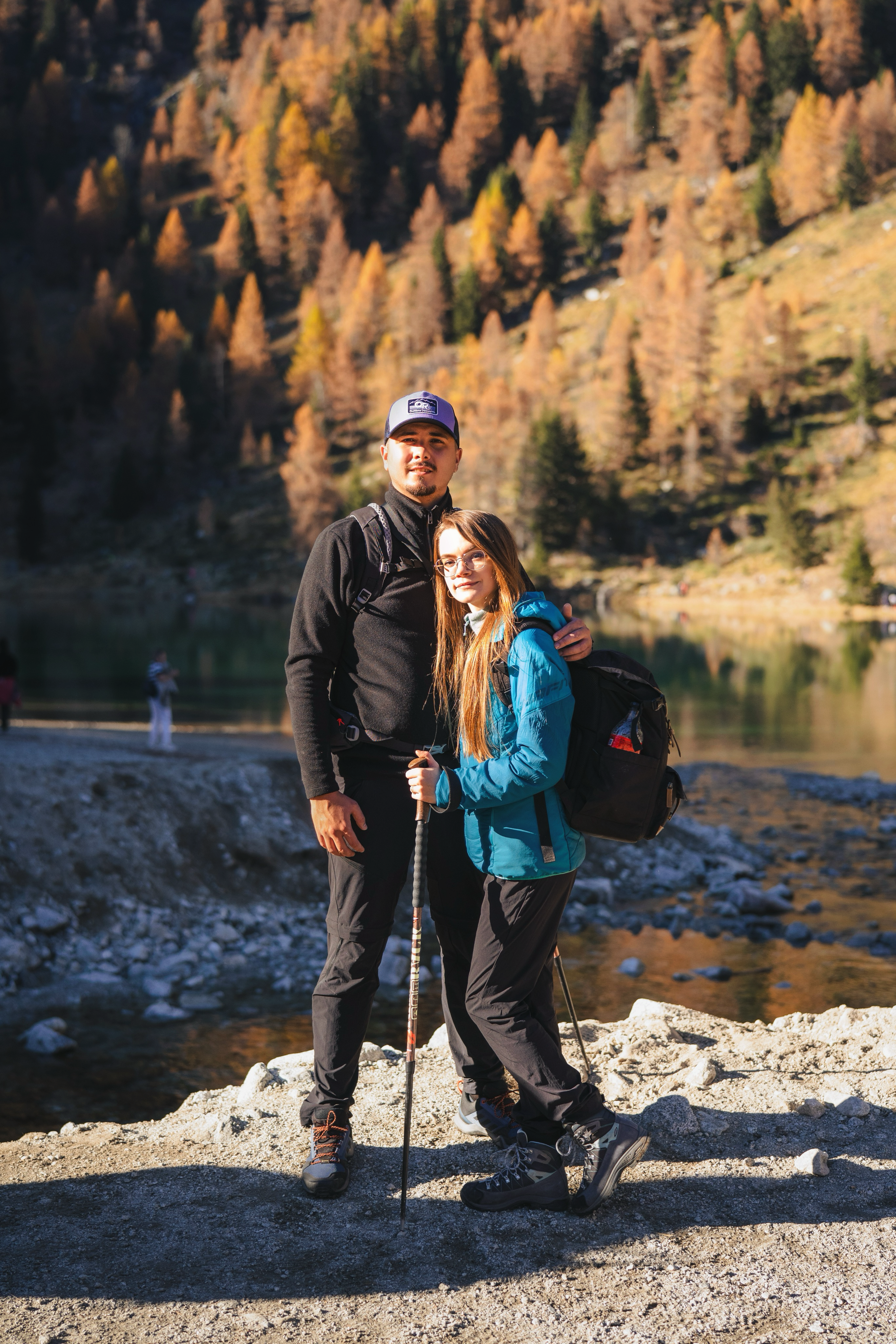
Region portrait
Get to know Georgenthal
Find the right bike route for you through Georgenthal, where we've got 66 cycle routes to explore. Most people get on their bikes to ride here in the months of May and June.
2,291 km
Tracked distance
66
Cycle routes
2,649
Population


From our community
The best bike routes in and around Georgenthal
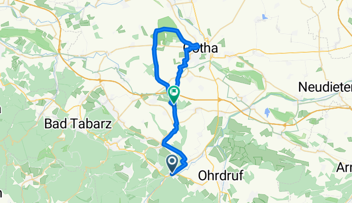
Ausflug zum Bürgerturm Krahnberg b. Gotha
Cycling route in Georgenthal, Thuringia, Germany
- 34.1 km
- Distance
- 351 m
- Ascent
- 381 m
- Descent

Georgenthal/Thür. Wald Wandern
Cycling route in Georgenthal, Thuringia, Germany
- 12.3 km
- Distance
- 451 m
- Ascent
- 462 m
- Descent


Discover more routes
 georgenthal-vierpfennighaus-lohmühle-steigerhaus-wechmarer hütte-georgenthal
- Distance
- 19.6 km
- Ascent
- 495 m
- Descent
- 495 m
- Location
- Georgenthal, Thuringia, Germany
 Gemütliche Route in Leinatal
- Distance
- 43.5 km
- Ascent
- 811 m
- Descent
- 829 m
- Location
- Georgenthal, Thuringia, Germany
 Sauriererlebnispfad Georgenthal
- Distance
- 6.1 km
- Ascent
- 86 m
- Descent
- 97 m
- Location
- Georgenthal, Thuringia, Germany
 20170219_121347.gpx
- Distance
- 3.2 km
- Ascent
- 30 m
- Descent
- 59 m
- Location
- Georgenthal, Thuringia, Germany
 Bahnhofstraße 41, Georgenthal/Thüringer Wald nach Zimmerbergstraße 12, Bad Tabarz
- Distance
- 13.2 km
- Ascent
- 208 m
- Descent
- 183 m
- Location
- Georgenthal, Thuringia, Germany
 2016-06-25 Eisenach - dann Bahn nach Hamburg
- Distance
- 44.3 km
- Ascent
- 147 m
- Descent
- 321 m
- Location
- Georgenthal, Thuringia, Germany
 Kirchweg 2, Leinatal nach Kirchweg 2, Leinatal
- Distance
- 29.4 km
- Ascent
- 665 m
- Descent
- 665 m
- Location
- Georgenthal, Thuringia, Germany
 Georgenthal IG Hirzbergbahn - Gotha
- Distance
- 19.2 km
- Ascent
- 61 m
- Descent
- 136 m
- Location
- Georgenthal, Thuringia, Germany