
Cycling in Geilenkirchen
Discover a map of 504 cycling routes and bike trails near Geilenkirchen, created by our community.
Region portrait
Get to know Geilenkirchen
Find the right bike route for you through Geilenkirchen, where we've got 504 cycle routes to explore. Most people get on their bikes to ride here in the months of May and June.
20,712 km
Tracked distance
504
Cycle routes
28,334
Population
Community
Most active users in Geilenkirchen


From our community
The best bike routes in and around Geilenkirchen

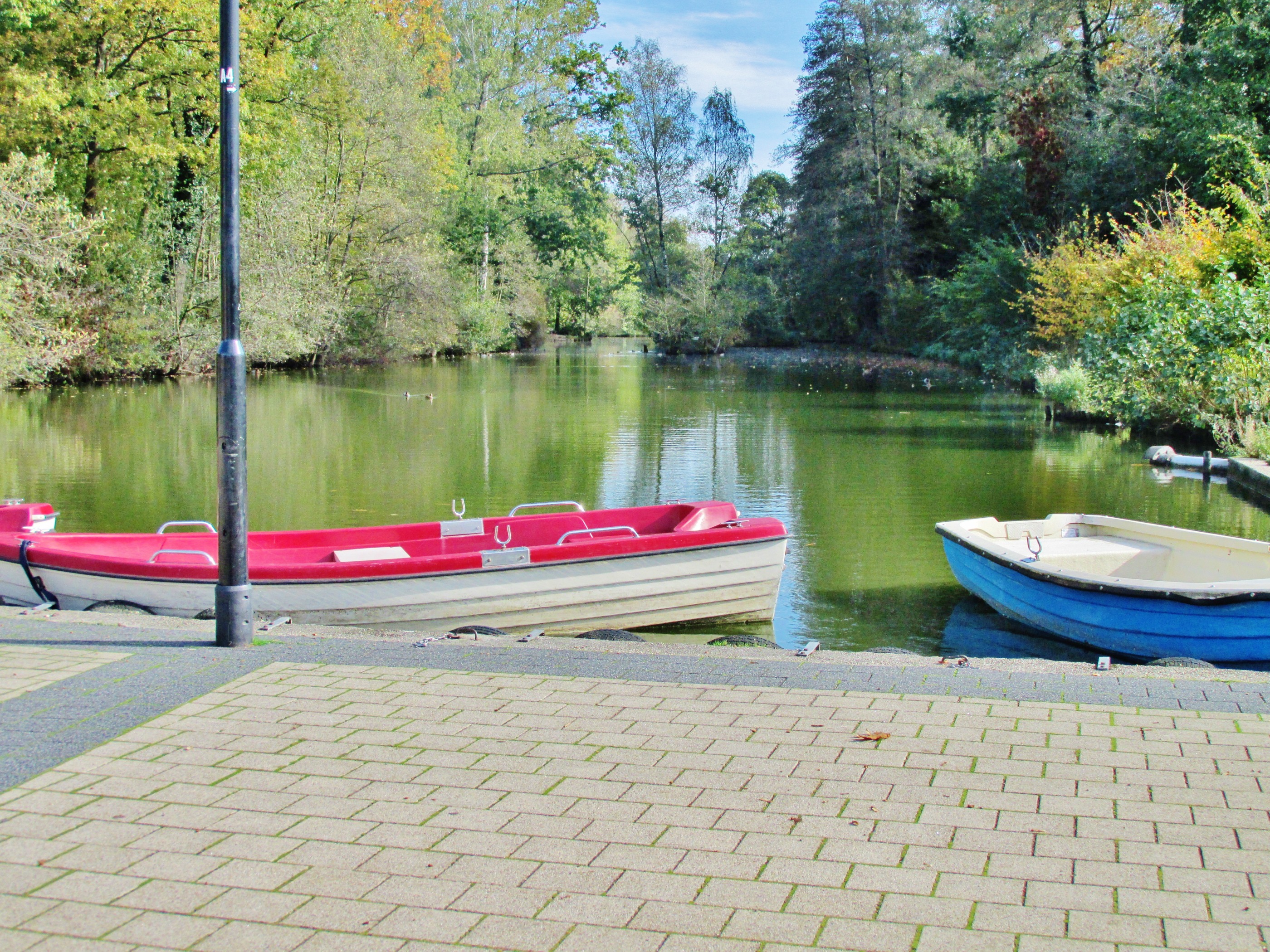
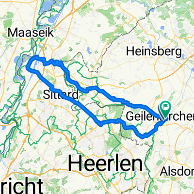
Zwischen Maas und Wurm
Cycling route in Geilenkirchen, North Rhine-Westphalia, Germany
- 101.8 km
- Distance
- 205 m
- Ascent
- 205 m
- Descent

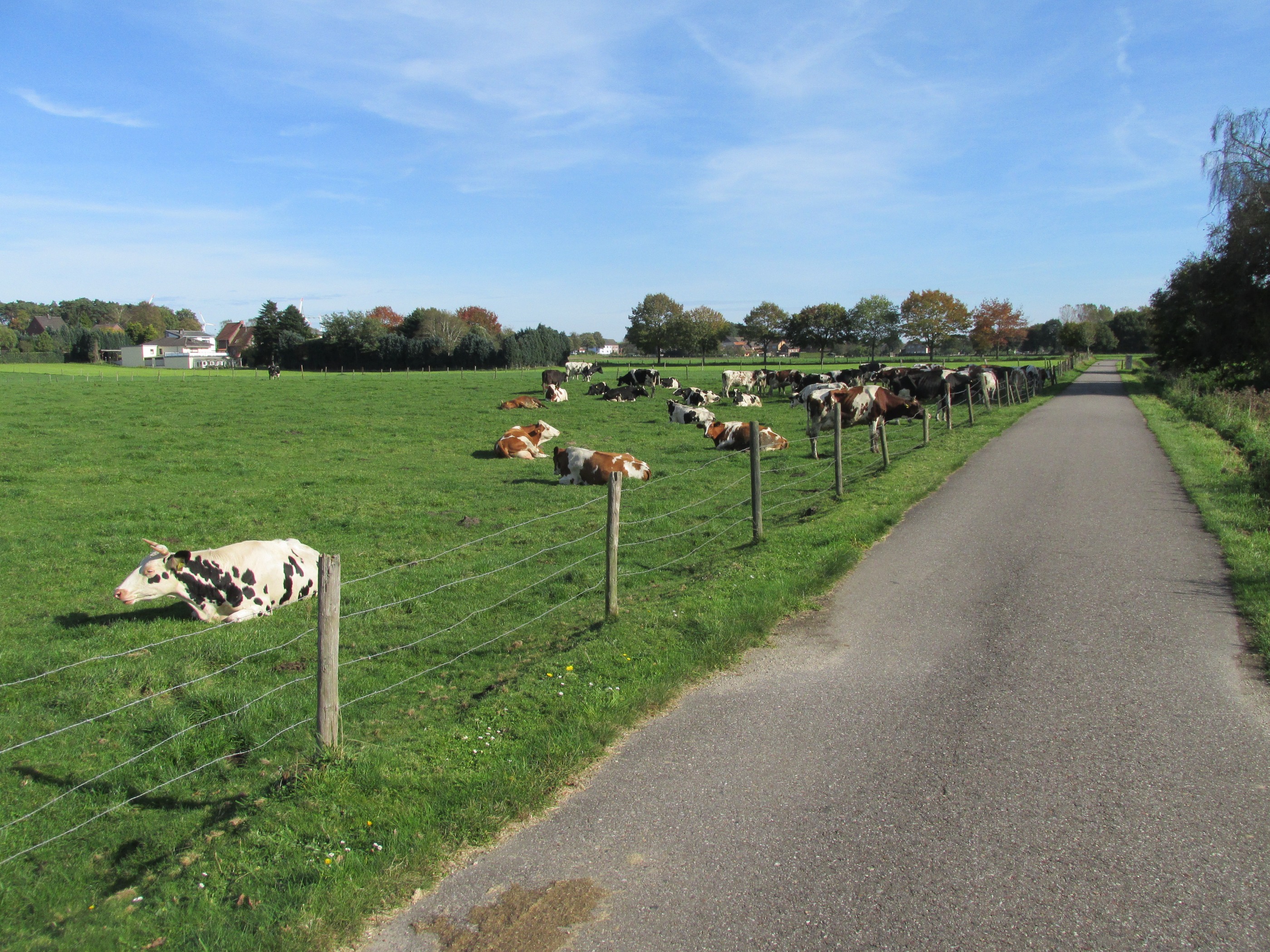
NL, B, Selfkant
Cycling route in Geilenkirchen, North Rhine-Westphalia, Germany
- 93.4 km
- Distance
- 104 m
- Ascent
- 120 m
- Descent
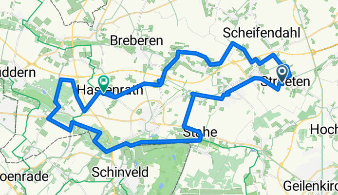
Von Heinsberg bis Gangelt
Cycling route in Geilenkirchen, North Rhine-Westphalia, Germany
- 51.1 km
- Distance
- 131 m
- Ascent
- 146 m
- Descent
Radeln für die Seele. Zipfeltour
Cycling route in Geilenkirchen, North Rhine-Westphalia, Germany
- 48.1 km
- Distance
- 127 m
- Ascent
- 170 m
- Descent
Discover more routes
 Radeln für die Seele. Zipfeltour
- Distance
- 69.1 km
- Ascent
- 233 m
- Descent
- 224 m
- Location
- Geilenkirchen, North Rhine-Westphalia, Germany
 Töpferstraße nach Sittarder Straße
- Distance
- 17.8 km
- Ascent
- 43 m
- Descent
- 86 m
- Location
- Geilenkirchen, North Rhine-Westphalia, Germany
 Yorckstraße 1, Geilenkirchen to Yorckstraße 3, Geilenkirchen
- Distance
- 12.7 km
- Ascent
- 34 m
- Descent
- 86 m
- Location
- Geilenkirchen, North Rhine-Westphalia, Germany
 Steady ride in Geilenkirchen
- Distance
- 8.1 km
- Ascent
- 85 m
- Descent
- 86 m
- Location
- Geilenkirchen, North Rhine-Westphalia, Germany
 Recorded via Apple Watch - 03.09.2021
- Distance
- 27 km
- Ascent
- 70 m
- Descent
- 89 m
- Location
- Geilenkirchen, North Rhine-Westphalia, Germany
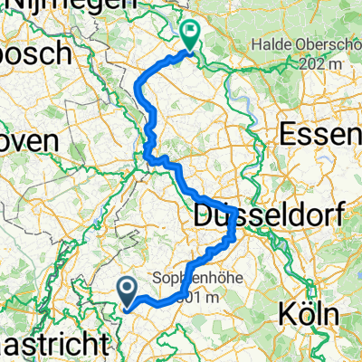
 Meinweg
- Distance
- 78.1 km
- Ascent
- 221 m
- Descent
- 238 m
- Location
- Geilenkirchen, North Rhine-Westphalia, Germany
 Deutschlandtour 2015_4. Tag
- Distance
- 157.1 km
- Ascent
- 201 m
- Descent
- 256 m
- Location
- Geilenkirchen, North Rhine-Westphalia, Germany
 Route der Wingerter und Sabinerinnen
- Distance
- 234.9 km
- Ascent
- 435 m
- Descent
- 470 m
- Location
- Geilenkirchen, North Rhine-Westphalia, Germany
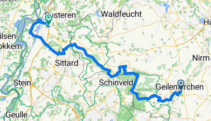
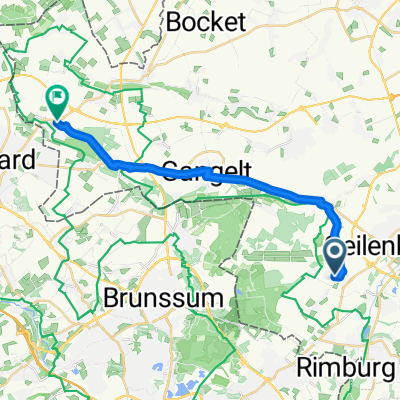
Routes to Geilenkirchen
By bicycle from
Übach-Palenberg to Geilenkirchen