

von Dingelstädt nach Kleinbartloff
- 12.4 km
- 390 m
- 449 m
- Dingelstädt, Thuringia, Germany

Find the right bike route for you through Dingelstädt, where we've got 145 cycle routes to explore. Most people get on their bikes to ride here in the months of July and September.
Tracked distance
Cycle routes
Population

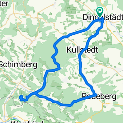
Cycling route in Dingelstädt, Thuringia, Germany


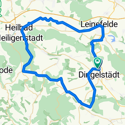
Cycling route in Dingelstädt, Thuringia, Germany
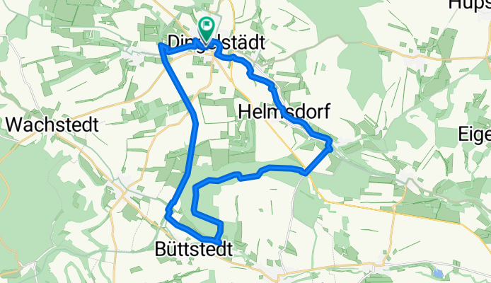
Cycling route in Dingelstädt, Thuringia, Germany

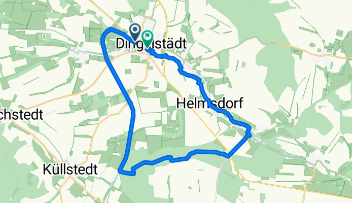
Cycling route in Dingelstädt, Thuringia, Germany