

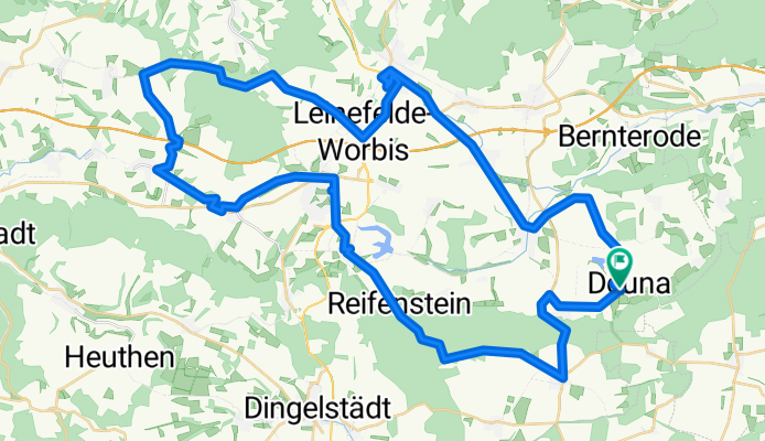

Hauptstraße 16, Deuna nach Hauptstraße 16, Deuna
- 7 km
- 47 m
- 54 m
- Deuna, Thuringia, Germany

Discover a map of 18 cycling routes and bike trails near Deuna, created by our community.
Region portrait
Find the right bike route for you through Deuna, where we've got 18 cycle routes to explore.
640 km
Tracked distance
18
Cycle routes
1,114
Population
Community
From our community
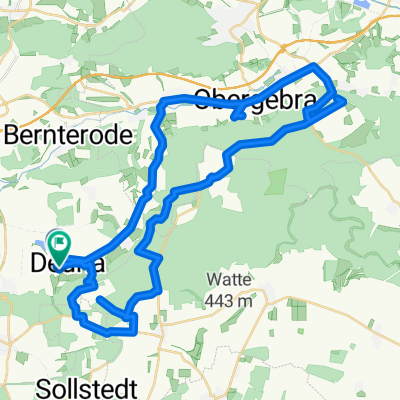
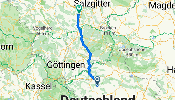
Cycling route in Deuna, Thuringia, Germany
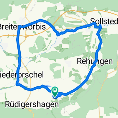
Cycling route in Deuna, Thuringia, Germany


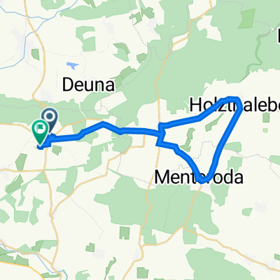
Cycling route in Deuna, Thuringia, Germany
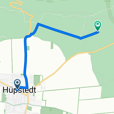
Cycling route in Deuna, Thuringia, Germany