
Cycling in Aholming
Discover a map of 15 cycling routes and bike trails near Aholming, created by our community.
Be a pioneer
Inspire fellow cyclists with your route in Aholming
Bikemap is a global cycling community with millions of routes created by cyclists like you. There are only a few routes so far in Aholming, so plot your favourite rides on the map now to help others find the best ways to ride.
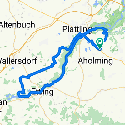
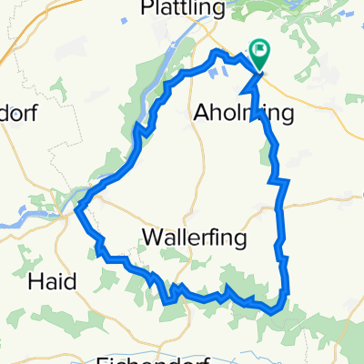
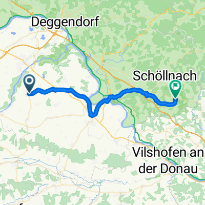
From our community
The best bike routes in and around Aholming
Aholminger Straße 21 nach Deggendorfer Straße 1, Moos
Cycling route in Aholming, Bavaria, Germany
- 34.7 km
- Distance
- 77 m
- Ascent
- 90 m
- Descent
Discover more routes
- Isar-Wald-Runde
- Distance
- 40.1 km
- Ascent
- 349 m
- Descent
- 349 m
- Location
- Aholming, Bavaria, Germany
- Aholminger Straße 21 nach Freiherr-von-Aretin-Platz 1, Aldersbach
- Distance
- 28.5 km
- Ascent
- 227 m
- Descent
- 219 m
- Location
- Aholming, Bavaria, Germany
- Rund um Kirchdorf
- Distance
- 42.9 km
- Ascent
- 221 m
- Descent
- 221 m
- Location
- Aholming, Bavaria, Germany
- Isarrunde
- Distance
- 46.3 km
- Ascent
- 51 m
- Descent
- 50 m
- Location
- Aholming, Bavaria, Germany
- Sankt-Kilian-Straße, Aholming nach Donaustraße 30, Deggendorf
- Distance
- 14.8 km
- Ascent
- 11 m
- Descent
- 21 m
- Location
- Aholming, Bavaria, Germany
- Aholminger Straße 19 nach Sportplatzweg 7, Deggendorf
- Distance
- 18 km
- Ascent
- 34 m
- Descent
- 43 m
- Location
- Aholming, Bavaria, Germany
- Rund um Kirchdorf, lang
- Distance
- 70.6 km
- Ascent
- 286 m
- Descent
- 287 m
- Location
- Aholming, Bavaria, Germany
- Aholminger Straße 21 nach Siedlungsstraße 5, Außernzell
- Distance
- 31.9 km
- Ascent
- 359 m
- Descent
- 313 m
- Location
- Aholming, Bavaria, Germany