


depart sancerre
- 716.6 km
- 1,312 m
- 1,389 m
- Saint-Satur, Centre-Val de Loire, France

Discover a map of 67 cycling routes and bike trails near Saint-Satur, created by our community.
Region portrait
Find the right bike route for you through Saint-Satur, where we've got 67 cycle routes to explore. Most people get on their bikes to ride here in the month of August.
4,736 km
Tracked distance
67
Cycle routes
1,789
Population
Community
From our community
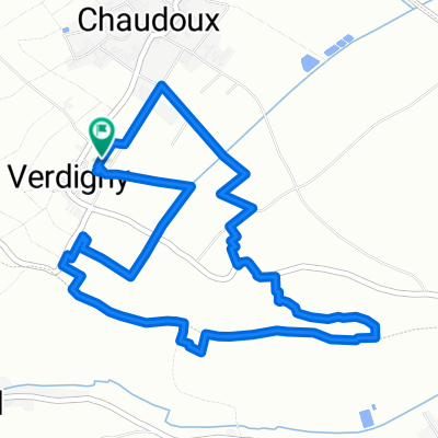
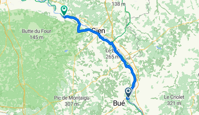
Cycling route in Saint-Satur, Centre-Val de Loire, France
Cycling route in Saint-Satur, Centre-Val de Loire, France
Cycling route in Saint-Satur, Centre-Val de Loire, France
Cycling route in Saint-Satur, Centre-Val de Loire, France