Cycling in Saint-Malô-du-Bois
Discover a map of 6 cycling routes and bike trails near Saint-Malô-du-Bois, created by our community.
Be a pioneer
Inspire fellow cyclists with your route in Saint-Malô-du-Bois
Bikemap is a global cycling community with millions of routes created by cyclists like you. There are only a few routes so far in Saint-Malô-du-Bois, so plot your favourite rides on the map now to help others find the best ways to ride.
From our community
The best bike routes in and around Saint-Malô-du-Bois
Steady ride in Les Epesses
Cycling route in Saint-Malô-du-Bois, Pays de la Loire Region, France
- 9.3 km
- Distance
- 154 m
- Ascent
- 93 m
- Descent
Itinéraire vers Chemin de l'Enfer, Saint-Laurent-sur-Sèvre
Cycling route in Saint-Malô-du-Bois, Pays de la Loire Region, France
- 7.1 km
- Distance
- 120 m
- Ascent
- 125 m
- Descent
11 Rue de l'Étang, Saint-Malô-du-Bois à 6 Rue Gabriel Fauré, Le Boupère
Cycling route in Saint-Malô-du-Bois, Pays de la Loire Region, France
- 40.8 km
- Distance
- 585 m
- Ascent
- 611 m
- Descent
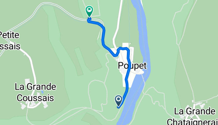
Easy ride in Saint-Malô-du-Bois
Cycling route in Saint-Malô-du-Bois, Pays de la Loire Region, France
- 0.5 km
- Distance
- 22 m
- Ascent
- 3 m
- Descent


