Albussac (Les Quatre Routes) - Circle to Argentat and Barrage
- 63.9 km
- 1,701 m
- 1,696 m
- Beynat, Nouvelle-Aquitaine, France

Discover a map of 18 cycling routes and bike trails near Beynat, created by our community.
Region portrait
Find the right bike route for you through Beynat, where we've got 18 cycle routes to explore.
932 km
Tracked distance
18
Cycle routes
1,233
Population
Community
From our community


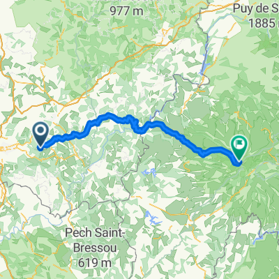
Cycling route in Beynat, Nouvelle-Aquitaine, France


Cycling route in Beynat, Nouvelle-Aquitaine, France


Cycling route in Beynat, Nouvelle-Aquitaine, France


Cycling route in Beynat, Nouvelle-Aquitaine, France