Cycling in Velemín
Discover a map of 52 cycling routes and bike trails near Velemín, created by our community.
Region portrait
Get to know Velemín
Find the right bike route for you through Velemín, where we've got 52 cycle routes to explore.
2,424 km
Tracked distance
52
Cycle routes
1,427
Population
From our community
The best bike routes in and around Velemín
2006-05-05 Velemín-Červený Újezd-Velemín
Cycling route in Velemín, Ústecký kraj, Czechia
- 31.8 km
- Distance
- 641 m
- Ascent
- 581 m
- Descent
Opárenské okruhy - MTB XC Opárno
Cycling route in Velemín, Ústecký kraj, Czechia
- 4.6 km
- Distance
- 117 m
- Ascent
- 116 m
- Descent
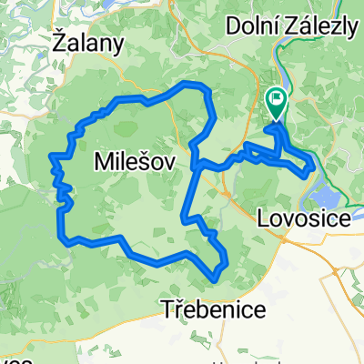
Kopce po Milešovkou
Cycling route in Velemín, Ústecký kraj, Czechia
- 45 km
- Distance
- 1,056 m
- Ascent
- 1,056 m
- Descent
Discover more routes
 M11-Etappe6
- Distance
- 98.7 km
- Ascent
- 171 m
- Descent
- 127 m
- Location
- Velemín, Ústecký kraj, Czechia
 Zkouška
- Distance
- 7.3 km
- Ascent
- 123 m
- Descent
- 155 m
- Location
- Velemín, Ústecký kraj, Czechia
 Prackovice nad Labem, Teplice,Ústí n.L
- Distance
- 87.4 km
- Ascent
- 840 m
- Descent
- 845 m
- Location
- Velemín, Ústecký kraj, Czechia
 Okolo Milešovky
- Distance
- 48.8 km
- Ascent
- 867 m
- Descent
- 880 m
- Location
- Velemín, Ústecký kraj, Czechia
 kolem Milešovky
- Distance
- 55.1 km
- Ascent
- 830 m
- Descent
- 830 m
- Location
- Velemín, Ústecký kraj, Czechia
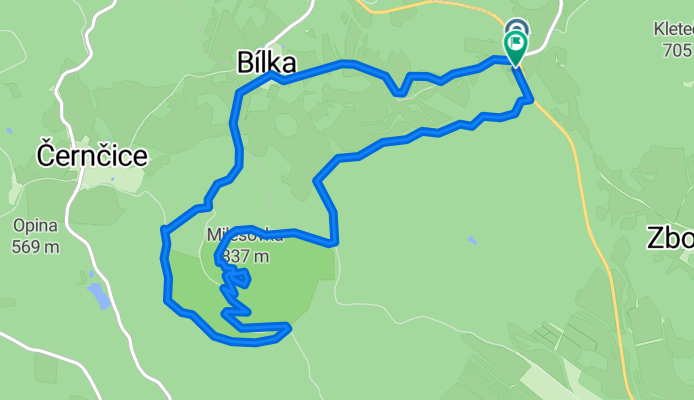
 Bílka-Milešov-Lhota-Štěpánov-Lukov-Černčice
- Distance
- 25 km
- Ascent
- 619 m
- Descent
- 619 m
- Location
- Velemín, Ústecký kraj, Czechia
 milesovka 3
- Distance
- 33.8 km
- Ascent
- 738 m
- Descent
- 612 m
- Location
- Velemín, Ústecký kraj, Czechia
 Uvolněná trasa
- Distance
- 6.5 km
- Ascent
- 0 m
- Descent
- 350 m
- Location
- Velemín, Ústecký kraj, Czechia


