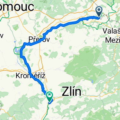
Hustopeče Nad Bečvou - Napajedla
- 85.4 km
- 408 m
- 542 m
- Hustopeče Nad Bečvou, Olomoucký kraj, Czechia

Discover a map of 24 cycling routes and bike trails near Hustopeče Nad Bečvou, created by our community.
Region portrait
Find the right bike route for you through Hustopeče Nad Bečvou, where we've got 24 cycle routes to explore.
1,178 km
Tracked distance
24
Cycle routes
1,748
Population
Community
From our community
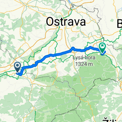
Cycling route in Hustopeče Nad Bečvou, Olomoucký kraj, Czechia
Cycling route in Hustopeče Nad Bečvou, Olomoucký kraj, Czechia
Cycling route in Hustopeče Nad Bečvou, Olomoucký kraj, Czechia
Cycling route in Hustopeče Nad Bečvou, Olomoucký kraj, Czechia