
Cycling in Mysłakowice
Discover a map of 198 cycling routes and bike trails near Mysłakowice, created by our community.
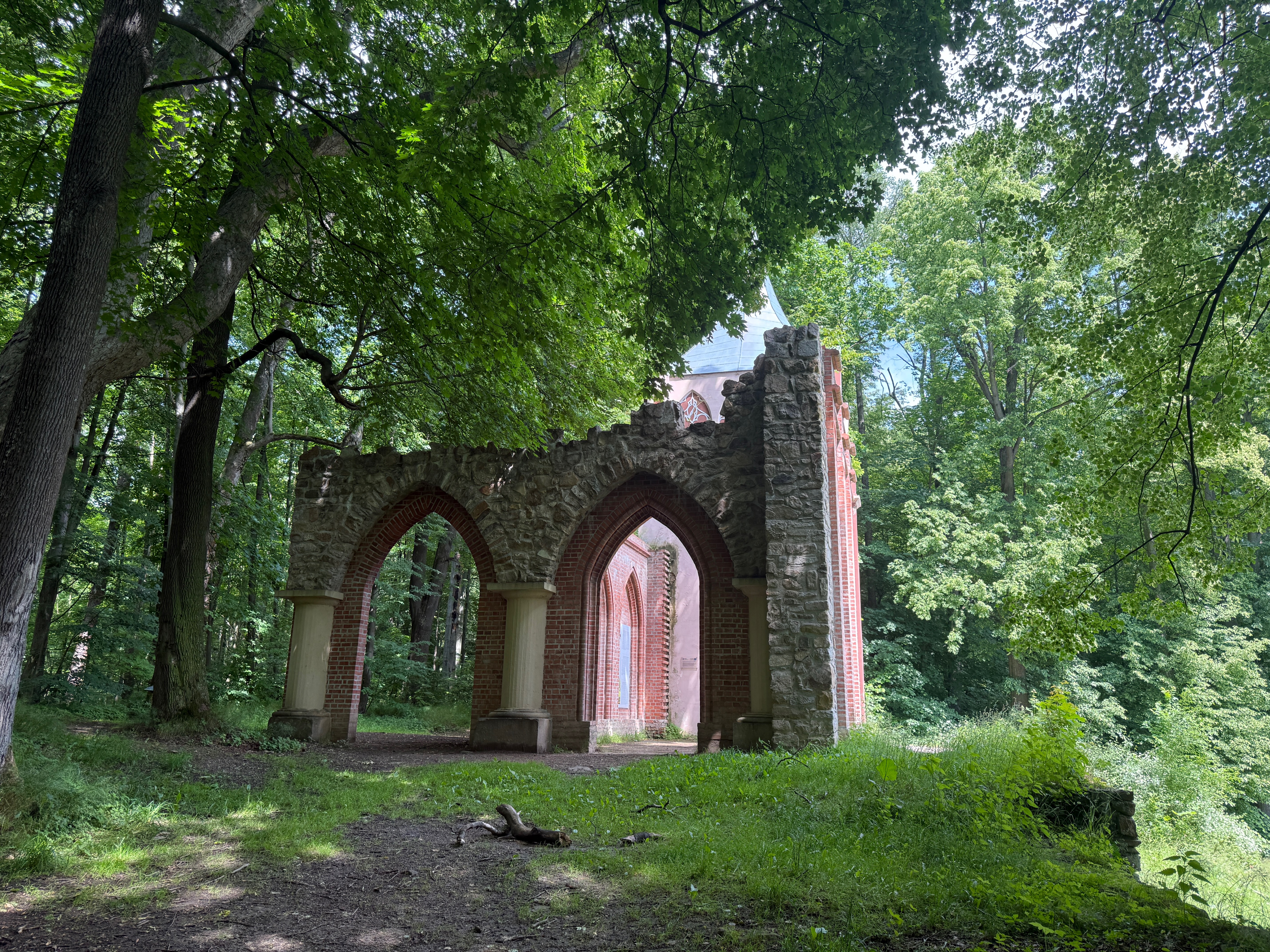
Region portrait
Get to know Mysłakowice
Find the right bike route for you through Mysłakowice, where we've got 198 cycle routes to explore. Most people get on their bikes to ride here in the months of May and July.
8,321 km
Tracked distance
198
Cycle routes
5,100
Population
Community
Most active users in Mysłakowice


From our community
The best bike routes in and around Mysłakowice


Hirschberger Tal, Teilstück
Cycling route in Mysłakowice, Lower Silesian Voivodeship, Poland
- 15.6 km
- Distance
- 142 m
- Ascent
- 189 m
- Descent

Bobrow janowice
Cycling route in Mysłakowice, Lower Silesian Voivodeship, Poland
- 19.4 km
- Distance
- 212 m
- Ascent
- 212 m
- Descent

Gruszkow Struznica
Cycling route in Mysłakowice, Lower Silesian Voivodeship, Poland
- 21 km
- Distance
- 234 m
- Ascent
- 237 m
- Descent

Od Pałacu do Pałacu
Cycling route in Mysłakowice, Lower Silesian Voivodeship, Poland
Od Pałacu do Pałacu
- 29.9 km
- Distance
- 327 m
- Ascent
- 327 m
- Descent
Discover more routes
 Trasa rowerowa Staniszów - Sosnówka - Miłków - Mysłakowice - Kostrzyca - Bukowiec - Krogulec - Karpniki - Łomnica - Krzyżowa Góra - Staniszów
- Distance
- 43.6 km
- Ascent
- ---
- Descent
- ---
- Location
- Mysłakowice, Lower Silesian Voivodeship, Poland
 Staniszów - Cieplice
- Distance
- 11.9 km
- Ascent
- 189 m
- Descent
- 190 m
- Location
- Mysłakowice, Lower Silesian Voivodeship, Poland
 Spacer do jeziora Balaton z górą Witosza po drodze
- Distance
- 7.6 km
- Ascent
- 144 m
- Descent
- 138 m
- Location
- Mysłakowice, Lower Silesian Voivodeship, Poland
 dookołasniezki
- Distance
- 107.7 km
- Ascent
- 1,730 m
- Descent
- 1,733 m
- Location
- Mysłakowice, Lower Silesian Voivodeship, Poland
 Łomnica do Spacerowa, Łomnica
- Distance
- 18.5 km
- Ascent
- 424 m
- Descent
- 405 m
- Location
- Mysłakowice, Lower Silesian Voivodeship, Poland
 DPIO 4 Wschód
- Distance
- 55.5 km
- Ascent
- 1,010 m
- Descent
- 1,013 m
- Location
- Mysłakowice, Lower Silesian Voivodeship, Poland
 DPIO 3 Zachód
- Distance
- 60 km
- Ascent
- 594 m
- Descent
- 596 m
- Location
- Mysłakowice, Lower Silesian Voivodeship, Poland
 Wojanów 9, Mysłakowice do Łomnica, Mysłakowice
- Distance
- 23 km
- Ascent
- 383 m
- Descent
- 393 m
- Location
- Mysłakowice, Lower Silesian Voivodeship, Poland