
Cycling in Kórnik
Discover a map of 359 cycling routes and bike trails near Kórnik, created by our community.
Region portrait
Get to know Kórnik
Find the right bike route for you through Kórnik, where we've got 359 cycle routes to explore. Most people get on their bikes to ride here in the months of June and July.
14,601 km
Tracked distance
359
Cycle routes
7,206
Population
Community
Most active users in Kórnik


From our community
The best bike routes in and around Kórnik

Niedzielny poranek
Cycling route in Kórnik, Greater Poland Voivodeship, Poland
- 45.1 km
- Distance
- 68 m
- Ascent
- 71 m
- Descent

Almost Springtime
Cycling route in Kórnik, Greater Poland Voivodeship, Poland
- 28.8 km
- Distance
- 39 m
- Ascent
- 36 m
- Descent


Osiedle Ignacego Krasickiego 7, Kórnik do Osiedle Ignacego Krasickiego, Kórnik
Cycling route in Kórnik, Greater Poland Voivodeship, Poland
- 43.3 km
- Distance
- 279 m
- Ascent
- 280 m
- Descent

Bnin - Hermanów
Cycling route in Kórnik, Greater Poland Voivodeship, Poland
- 62.1 km
- Distance
- 101 m
- Ascent
- 97 m
- Descent
Discover more routes
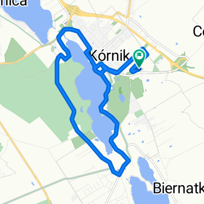
 KÓRNICKI PIERŚCIEŃ ROWEROWY
- Distance
- 55.1 km
- Ascent
- 97 m
- Descent
- 97 m
- Location
- Kórnik, Greater Poland Voivodeship, Poland
 Kórnik - Zaniemyśl - Czmoniec
- Distance
- 55.2 km
- Ascent
- 97 m
- Descent
- 97 m
- Location
- Kórnik, Greater Poland Voivodeship, Poland
 Lokalne nabijanie kilosów
- Distance
- 34.7 km
- Ascent
- 87 m
- Descent
- 87 m
- Location
- Kórnik, Greater Poland Voivodeship, Poland
 Sobotnie otwarcie
- Distance
- 17.8 km
- Ascent
- 32 m
- Descent
- 33 m
- Location
- Kórnik, Greater Poland Voivodeship, Poland
 Kórnik-Zaniemyśl-Środa-Śródka-Kórnik
- Distance
- 55.7 km
- Ascent
- 65 m
- Descent
- 65 m
- Location
- Kórnik, Greater Poland Voivodeship, Poland
 Poznańska 77, Kórnik do Romana Maya 127A, Poznań
- Distance
- 20 km
- Ascent
- 129 m
- Descent
- 130 m
- Location
- Kórnik, Greater Poland Voivodeship, Poland
 Powolna trasa w Kórnik
- Distance
- 12 km
- Ascent
- 73 m
- Descent
- 72 m
- Location
- Kórnik, Greater Poland Voivodeship, Poland
 Pogorzelica-przeprawa
- Distance
- 107.7 km
- Ascent
- 154 m
- Descent
- 154 m
- Location
- Kórnik, Greater Poland Voivodeship, Poland
Routes to Kórnik
Quick ride by bicycle from
Daszewice to Kórnik