
Cycling in Laguardia
Discover a map of 69 cycling routes and bike trails near Laguardia, created by our community.
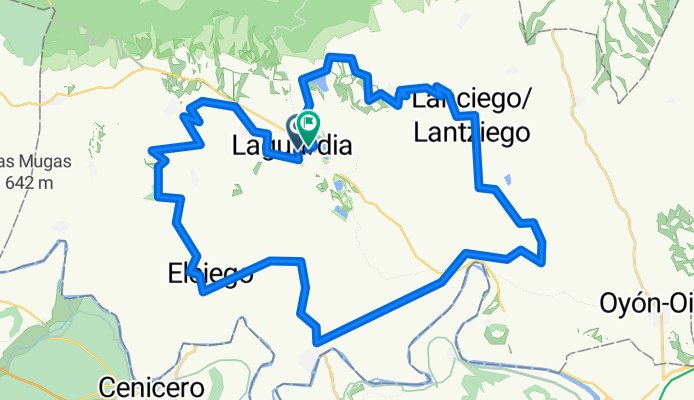
Region portrait
Get to know Laguardia
Find the right bike route for you through Laguardia, where we've got 69 cycle routes to explore. Most people get on their bikes to ride here in the months of July and September.
9,145 km
Tracked distance
69
Cycle routes
1,498
Population


From our community
The best bike routes in and around Laguardia
Short Track Orbea Gravel 2024
Cycling route in Laguardia, Basque Country, Spain
- 53.5 km
- Distance
- 994 m
- Ascent
- 999 m
- Descent


Fuentes del Vino - Version 5 days
Cycling route in Laguardia, Basque Country, Spain
- 458.7 km
- Distance
- 4,091 m
- Ascent
- 4,092 m
- Descent

Strava Finca Martelo Orbea Gravel 2022
Cycling route in Laguardia, Basque Country, Spain
- 1.7 km
- Distance
- 66 m
- Ascent
- 28 m
- Descent

GRAVEL 2 LAGUARDIA 60 KM - GRAVEL 2 LAGUARDIA 60 KM
Cycling route in Laguardia, Basque Country, Spain
- 57.5 km
- Distance
- 1,132 m
- Ascent
- 1,151 m
- Descent
Discover more routes
 Track_Gravel_Short_Final
- Distance
- 78.7 km
- Ascent
- 1,076 m
- Descent
- 1,091 m
- Location
- Laguardia, Basque Country, Spain
 TrackOficial_Gravel_Long_2022_v.13.09.22
- Distance
- 102.4 km
- Ascent
- 1,234 m
- Descent
- 1,239 m
- Location
- Laguardia, Basque Country, Spain
 Track_Gravel_Long_final
- Distance
- 109.2 km
- Ascent
- 1,376 m
- Descent
- 1,381 m
- Location
- Laguardia, Basque Country, Spain
 FUENTES del VINO stage 4
- Distance
- 115.1 km
- Ascent
- 1,516 m
- Descent
- 1,515 m
- Location
- Laguardia, Basque Country, Spain
 Rutica de media montaña y terreno rompepiernas 110Kms
- Distance
- 111 km
- Ascent
- 1,255 m
- Descent
- 1,261 m
- Location
- Laguardia, Basque Country, Spain
 FUENTES del VINO5 - st1
- Distance
- 102.9 km
- Ascent
- 1,173 m
- Descent
- 1,120 m
- Location
- Laguardia, Basque Country, Spain
 logroño
- Distance
- 39.9 km
- Ascent
- 1,282 m
- Descent
- 804 m
- Location
- Laguardia, Basque Country, Spain
 De herrera a Pipaon
- Distance
- 16 km
- Ascent
- 587 m
- Descent
- 347 m
- Location
- Laguardia, Basque Country, Spain