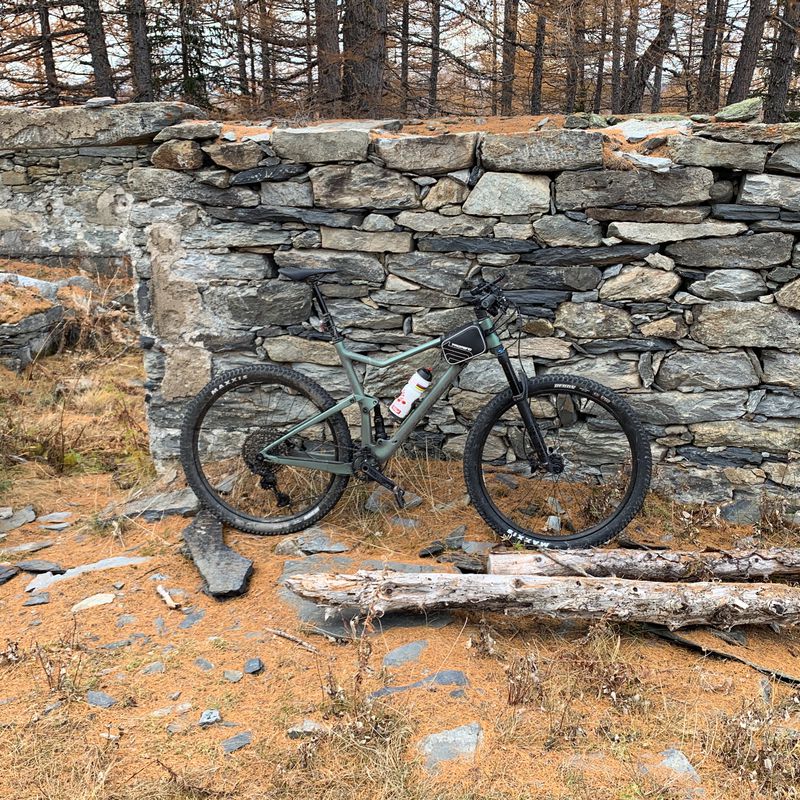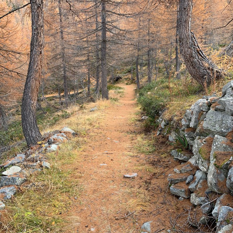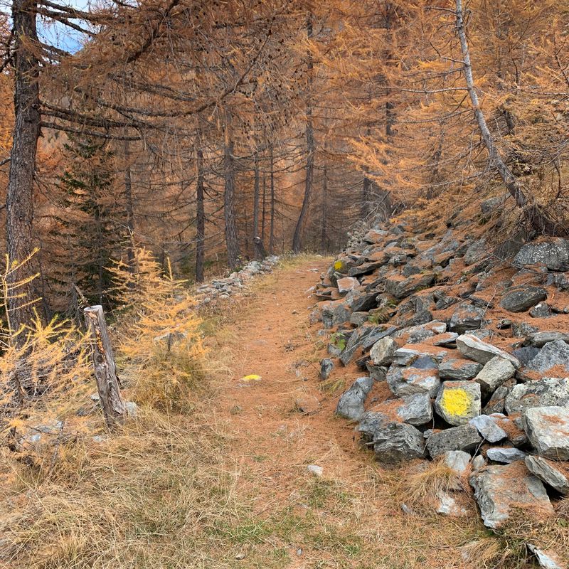
Cycling in Aosta Valley
Discover a map of 2,625 cycling routes and bike trails in Aosta Valley, created by our community.
Region portrait
Get to know Aosta Valley
Find the right bike route for you through Aosta Valley, where we've got 2,625 cycle routes to explore. Most people get on their bikes to ride here in the months of July and August.
224,202 km
Tracked distance
2,625
Cycle routes
Community
Most active users in Aosta Valley
Handpicked routes
Discover Aosta Valley through these collections
From our community
The best bike routes in Aosta Valley
LTH-Plan Praz Ricovero Cap. Sandino-Petosan-LTH
Cycling route in La Thuile, Aosta Valley, Italy
- 13.9 km
- Distance
- 620 m
- Ascent
- 616 m
- Descent
Via Francigena: Pont St. Martin - Ivrea
Cycling route in Pont-Saint-Martin, Aosta Valley, Italy
- 21.8 km
- Distance
- 275 m
- Ascent
- 379 m
- Descent
Discover more routes
 Mtb Cogne: Taverona-Miniera Colonna-Silvenoire
- Distance
- 23.4 km
- Ascent
- 982 m
- Descent
- 982 m
- Location
- Cogne, Aosta Valley, Italy
 Pesse - Col Filon - Lac Loson
- Distance
- 34.7 km
- Ascent
- 1,044 m
- Descent
- 1,048 m
- Location
- Petit Fenis, Aosta Valley, Italy
 Beato Emerico
- Distance
- 11.5 km
- Ascent
- 672 m
- Descent
- 658 m
- Location
- Villair-Amerique, Aosta Valley, Italy
 Tour des Alpes occidentales 4. Etappe
- Distance
- 61.1 km
- Ascent
- 1,896 m
- Descent
- 1,090 m
- Location
- Prè-Saint-Didier, Aosta Valley, Italy
 2-Tag_Aosta-ValD-isere
- Distance
- 94.3 km
- Ascent
- 2,400 m
- Descent
- 1,177 m
- Location
- Aosta, Aosta Valley, Italy
 LTH-Youlaz-Arp-LTH
- Distance
- 26.8 km
- Ascent
- 1,082 m
- Descent
- 1,081 m
- Location
- La Thuile, Aosta Valley, Italy
 Aosta - Aosta Day 1
- Distance
- 140.8 km
- Ascent
- 3,178 m
- Descent
- 3,187 m
- Location
- Aosta, Aosta Valley, Italy
 Da Aymavilles sino al Pont d’Aël
- Distance
- 12.9 km
- Ascent
- 392 m
- Descent
- 391 m
- Location
- Aymavilles, Aosta Valley, Italy
Cycling regions in Aosta Valley
Quart
13 cycling routes
Cogne
57 cycling routes
Antey-Saint-André
24 cycling routes
Champdepraz
5 cycling routes
Valpelline
7 cycling routes
See where people are biking in Italy
Popular cycling regions in Italy


