Cycling in San Michele all'Adige
Discover a map of 113 cycling routes and bike trails near San Michele all'Adige, created by our community.
Region portrait
Get to know San Michele all'Adige
Find the right bike route for you through San Michele all'Adige, where we've got 113 cycle routes to explore. Most people get on their bikes to ride here in the months of July and August.
7,637 km
Tracked distance
113
Cycle routes
2,808
Population
Community
Most active users in San Michele all'Adige
Handpicked routes
Discover San Michele all'Adige through these collections
Tour
From our community
The best bike routes in and around San Michele all'Adige
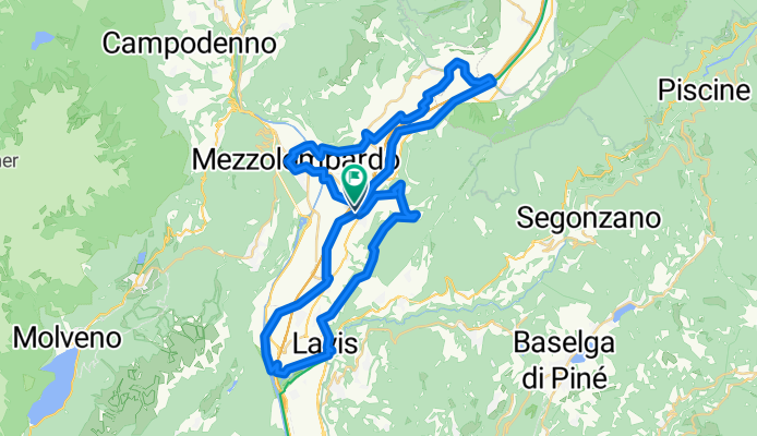
Giro del Vino 50
Cycling route in San Michele all'Adige, Trentino-Alto Adige, Italy
- 54.7 km
- Distance
- 793 m
- Ascent
- 794 m
- Descent
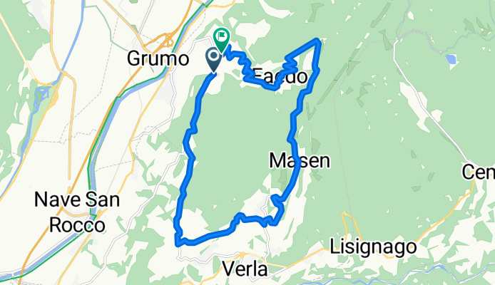
Faedo - Giovo - Masen
Cycling route in San Michele all'Adige, Trentino-Alto Adige, Italy
- 16.2 km
- Distance
- 694 m
- Ascent
- 692 m
- Descent
San Michele - Lago Santo - Lavis
Cycling route in San Michele all'Adige, Trentino-Alto Adige, Italy
- 44.3 km
- Distance
- 1,570 m
- Ascent
- 1,588 m
- Descent
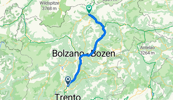
Grumo - Vipiteno
Cycling route in San Michele all'Adige, Trentino-Alto Adige, Italy
- 116.5 km
- Distance
- 2,199 m
- Ascent
- 1,463 m
- Descent
Discover more routes
 San Michele all'Adige - Riva del Garda
- Distance
- 69.3 km
- Ascent
- 305 m
- Descent
- 446 m
- Location
- San Michele all'Adige, Trentino-Alto Adige, Italy
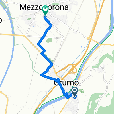 Von Leifers bis Mezzocorona
- Distance
- 4.6 km
- Ascent
- 14 m
- Descent
- 4 m
- Location
- San Michele all'Adige, Trentino-Alto Adige, Italy
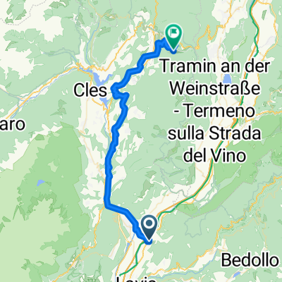 Von San Michele all'Adige bis Ruffrè-Mendola
- Distance
- 45.7 km
- Ascent
- 1,622 m
- Descent
- 710 m
- Location
- San Michele all'Adige, Trentino-Alto Adige, Italy
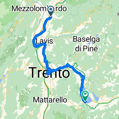 SS43 nach Via della Scuola
- Distance
- 43.1 km
- Ascent
- 409 m
- Descent
- 157 m
- Location
- San Michele all'Adige, Trentino-Alto Adige, Italy
 T5 San Michael a.d.Etsch nach Trient
- Distance
- 19.3 km
- Ascent
- 78 m
- Descent
- 91 m
- Location
- San Michele all'Adige, Trentino-Alto Adige, Italy
 01 San Michele - Trento - Rovereto
- Distance
- 49.8 km
- Ascent
- 70 m
- Descent
- 76 m
- Location
- San Michele all'Adige, Trentino-Alto Adige, Italy
 Hotel Cantaleone - Muse Trento
- Distance
- 36.7 km
- Ascent
- 102 m
- Descent
- 102 m
- Location
- San Michele all'Adige, Trentino-Alto Adige, Italy
 Faedo - Malga mont alt - Salorno
- Distance
- 20.7 km
- Ascent
- 911 m
- Descent
- 911 m
- Location
- San Michele all'Adige, Trentino-Alto Adige, Italy


