Cycling in St. Lorenzen
Discover a map of 306 cycling routes and bike trails near St. Lorenzen, created by our community.
Region portrait
Get to know St. Lorenzen
Find the right bike route for you through St. Lorenzen, where we've got 306 cycle routes to explore. Most people get on their bikes to ride here in the months of July and August.
16,715 km
Tracked distance
306
Cycle routes
1,221
Population
Community
Most active users in St. Lorenzen
Handpicked routes
Discover St. Lorenzen through these collections
 Tour
Tour- Tour
From our community
The best bike routes in and around St. Lorenzen
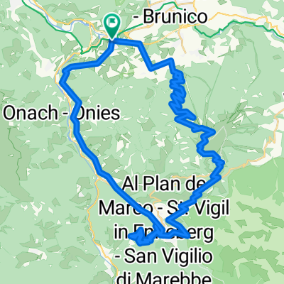
Da San Lorenzo di Sebato, Stazione di San Lorenzo a Via Chienes 4A
Cycling route in St. Lorenzen, Trentino-Alto Adige, Italy
- 8.1 km
- Distance
- 93 m
- Ascent
- 105 m
- Descent
Da Santo Stefano 49 a Santo Stefano 49
Cycling route in St. Lorenzen, Trentino-Alto Adige, Italy
- 48.5 km
- Distance
- 907 m
- Ascent
- 905 m
- Descent
St. Lorenzen Cycling
Cycling route in St. Lorenzen, Trentino-Alto Adige, Italy
- 46.6 km
- Distance
- 1,523 m
- Ascent
- 1,506 m
- Descent
Garmin EDGE 530®
Dolomiti 2013 - 2. den
Cycling route in St. Lorenzen, Trentino-Alto Adige, Italy
- 46.3 km
- Distance
- 1,050 m
- Ascent
- 1,056 m
- Descent
Discover more routes
- Etappe 4.5: Bruneck - Toblacher See
- 35.2 km
- 773 m
- 320 m
- St. Lorenzen, Trentino-Alto Adige, Italy
- Kronplatz - Furkelpass
- 57.2 km
- 1,569 m
- 1,569 m
- St. Lorenzen, Trentino-Alto Adige, Italy
- eBiketest Centurion no pogo 2000+
- 39.9 km
- 1,092 m
- 1,091 m
- St. Lorenzen, Trentino-Alto Adige, Italy
- mantana, Rio Pusteria, Alpe di Rodengo, Elle, Mantana
- 51.1 km
- 1,414 m
- 1,412 m
- St. Lorenzen, Trentino-Alto Adige, Italy
- Penny ZAF UPHILL S.LEONARD - CORVARA
- 35.8 km
- 861 m
- 122 m
- St. Lorenzen, Trentino-Alto Adige, Italy
- Alpencross 2011 - 3. Etappe
- 54.1 km
- 1,997 m
- 828 m
- St. Lorenzen, Trentino-Alto Adige, Italy
- "Shoppingtour" Sankt Lorenzen - Bruneck
- 12.7 km
- 205 m
- 205 m
- St. Lorenzen, Trentino-Alto Adige, Italy


