
Cycling in Mühlbach
Discover a map of 247 cycling routes and bike trails near Mühlbach, created by our community.
Region portrait
Get to know Mühlbach
Find the right bike route for you through Mühlbach, where we've got 247 cycle routes to explore. Most people get on their bikes to ride here in the months of July and August.
14,764 km
Tracked distance
247
Cycle routes
1,151
Population
Handpicked routes
Discover Mühlbach through these collections
Tour
From our community
The best bike routes in and around Mühlbach
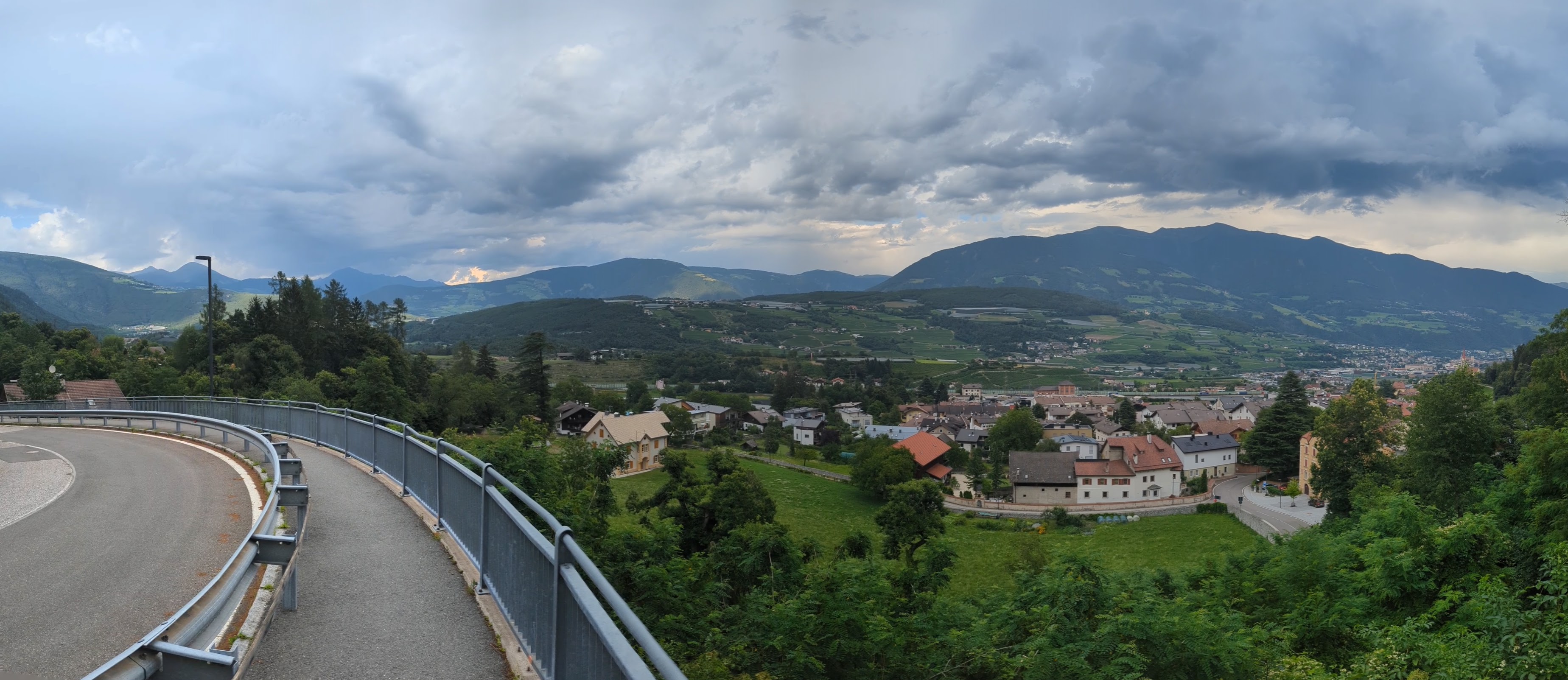

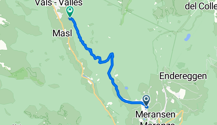
Stöcklvaterweg nach Via Scaleres
Cycling route in Mühlbach, Trentino-Alto Adige, Italy
- 15.7 km
- Distance
- 350 m
- Ascent
- 505 m
- Descent
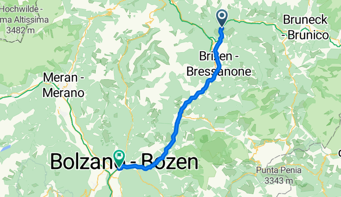
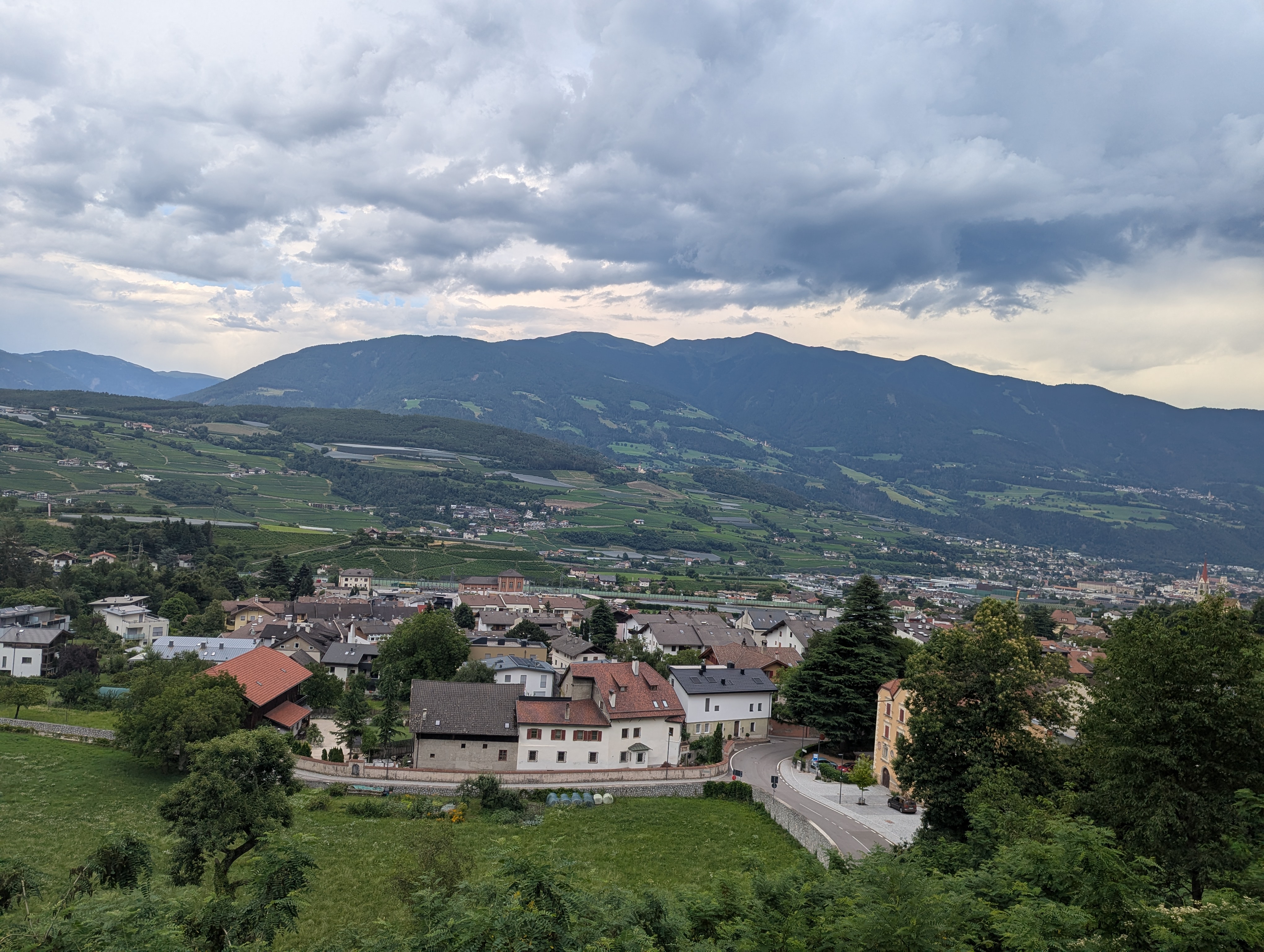
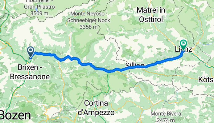
Mühlbach - Bozen
Cycling route in Mühlbach, Trentino-Alto Adige, Italy
- 54.1 km
- Distance
- 766 m
- Ascent
- 1,276 m
- Descent


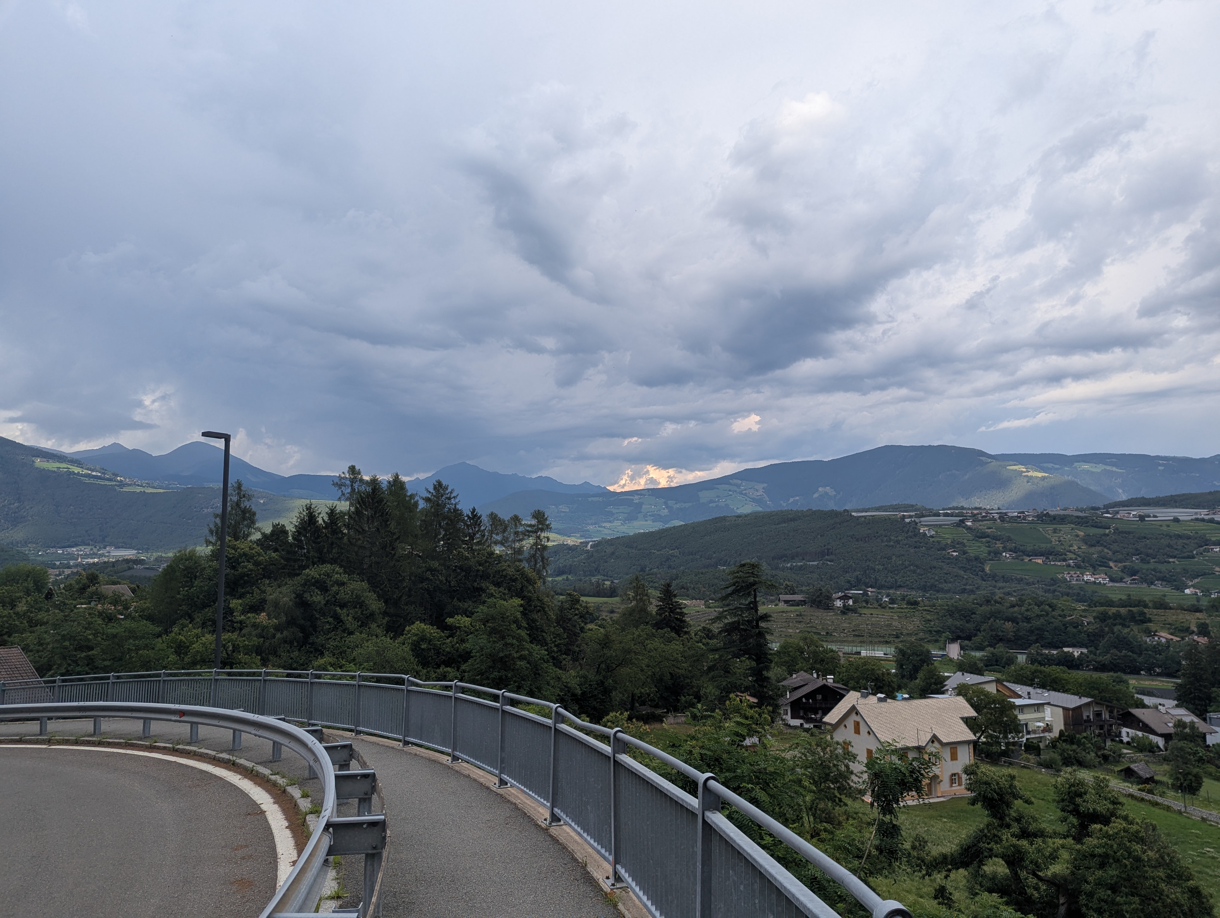
Leitensteig. NICHT fürs MTB!!
Cycling route in Mühlbach, Trentino-Alto Adige, Italy
- 5.3 km
- Distance
- 134 m
- Ascent
- 232 m
- Descent
8 - da geit meh man
Cycling route in Mühlbach, Trentino-Alto Adige, Italy
- 104.5 km
- Distance
- 1,837 m
- Ascent
- 1,993 m
- Descent
Discover more routes
 MTB-Flach: Etappe04 HA-IBK: Mühlbach-Eisacktalradweg-Brenner-Innsbruck
- Distance
- 83.6 km
- Ascent
- 877 m
- Descent
- 720 m
- Location
- Mühlbach, Trentino-Alto Adige, Italy
 6. Muehlbach- Toblach
- Distance
- 49.8 km
- Ascent
- 750 m
- Descent
- 318 m
- Location
- Mühlbach, Trentino-Alto Adige, Italy
 Dolomiten Tag 1
- Distance
- 93.1 km
- Ascent
- 1,657 m
- Descent
- 867 m
- Location
- Mühlbach, Trentino-Alto Adige, Italy
 Spinges - Stoanamandl - Panoramaweg
- Distance
- 17 km
- Ascent
- 804 m
- Descent
- 799 m
- Location
- Mühlbach, Trentino-Alto Adige, Italy
 Jochpass via Vals Anratter Hütte Südtirol
- Distance
- 21.6 km
- Ascent
- 902 m
- Descent
- 901 m
- Location
- Mühlbach, Trentino-Alto Adige, Italy
 Val Pusteria 7) Rio Pusteria- Rasun di Sopra
- Distance
- 40.7 km
- Ascent
- 1,018 m
- Descent
- 706 m
- Location
- Mühlbach, Trentino-Alto Adige, Italy
 Radwanderung zur Kronplatzseilbahn vom Graahof
- Distance
- 56.5 km
- Ascent
- 454 m
- Descent
- 453 m
- Location
- Mühlbach, Trentino-Alto Adige, Italy
 Tratterhof, Meransen
- Distance
- 0.2 km
- Ascent
- 12 m
- Descent
- 8 m
- Location
- Mühlbach, Trentino-Alto Adige, Italy
Routes from Mühlbach
Cycling day trip from
Mühlbach to Toblach