Cycling in Plaus
Discover a map of 119 cycling routes and bike trails near Plaus, created by our community.
Region portrait
Get to know Plaus
Find the right bike route for you through Plaus, where we've got 119 cycle routes to explore. Most people get on their bikes to ride here in the months of May and August.
5,161 km
Tracked distance
119
Cycle routes
490
Population
Community
Most active users in Plaus
From our community
The best bike routes in and around Plaus
Meringerhof - Seespitz by Bike
Cycling route in Plaus, Trentino-Alto Adige, Italy
- 31.8 km
- Distance
- 1,358 m
- Ascent
- 1,369 m
- Descent
Have Cablecar; will travel to the beer garden.
Cycling route in Plaus, Trentino-Alto Adige, Italy
- 13.5 km
- Distance
- 135 m
- Ascent
- 1,090 m
- Descent
Naturns Meran Terlan Lana
Cycling route in Plaus, Trentino-Alto Adige, Italy
- 73.5 km
- Distance
- 474 m
- Ascent
- 442 m
- Descent
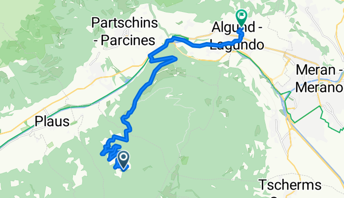
Algund - Aschbach
Cycling route in Plaus, Trentino-Alto Adige, Italy
- 14 km
- Distance
- 38 m
- Ascent
- 1,041 m
- Descent
Discover more routes
 Radrunde durch Partschins
- Distance
- 23 km
- Ascent
- 739 m
- Descent
- 1,567 m
- Location
- Plaus, Trentino-Alto Adige, Italy
 I 007: Untervinschgau
- Distance
- 44.1 km
- Ascent
- 433 m
- Descent
- 433 m
- Location
- Plaus, Trentino-Alto Adige, Italy
 Feierabendrunde 3 Plaus Vellau
- Distance
- 13.9 km
- Ascent
- 801 m
- Descent
- 31 m
- Location
- Plaus, Trentino-Alto Adige, Italy
 Naturns Prad Bormio (Stilfzer Joch)
- Distance
- 127.8 km
- Ascent
- 2,305 m
- Descent
- 2,305 m
- Location
- Plaus, Trentino-Alto Adige, Italy
 20221017 b) Aschbach - Marling - Töll
- Distance
- 24.4 km
- Ascent
- 603 m
- Descent
- 1,394 m
- Location
- Plaus, Trentino-Alto Adige, Italy
 Meran Bike Highline-Teil
- Distance
- 55.7 km
- Ascent
- 1,086 m
- Descent
- 1,875 m
- Location
- Plaus, Trentino-Alto Adige, Italy
 Meringerhof - Seespitz by Bike CLONED FROM ROUTE 315390
- Distance
- 31.8 km
- Ascent
- 1,358 m
- Descent
- 1,369 m
- Location
- Plaus, Trentino-Alto Adige, Italy
 Plaus - Schnatzhof Naturns
- Distance
- 11.1 km
- Ascent
- 1,009 m
- Descent
- 170 m
- Location
- Plaus, Trentino-Alto Adige, Italy


