
Cycling in Latsch
Discover a map of 497 cycling routes and bike trails near Latsch, created by our community.
Region portrait
Get to know Latsch
Find the right bike route for you through Latsch, where we've got 497 cycle routes to explore. Most people get on their bikes to ride here in the months of June and August.
25,373 km
Tracked distance
497
Cycle routes
2,468
Population
Community
Most active users in Latsch


Handpicked routes
Discover Latsch through these collections

From our community
The best bike routes in and around Latsch

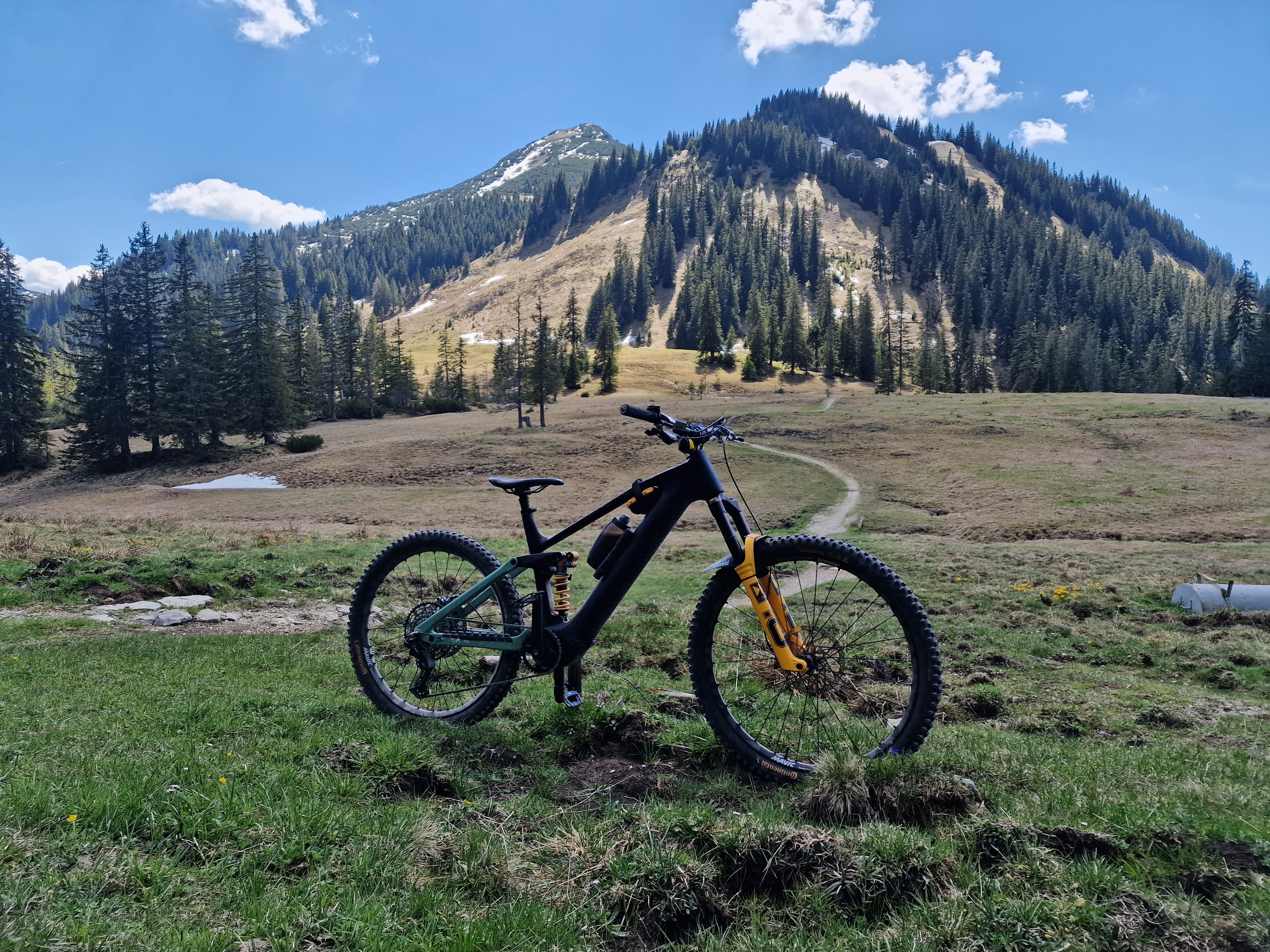
LatscherAlm-TarscherAlm-MarzonerAlm Tour S2
Cycling route in Latsch, Trentino-Alto Adige, Italy
Von Latsch über Forstwege (Töbrunn) zur Latscher Alm dann weiter zur Tarscher Alm. Abfahrt über Trails nach Tarsch dann hoch zur Marzoren Alm und wieder über Trails nach Tabland. Auf der ViaClaudia zurück nach Latsch.
- 48.7 km
- Distance
- 2,023 m
- Ascent
- 2,024 m
- Descent

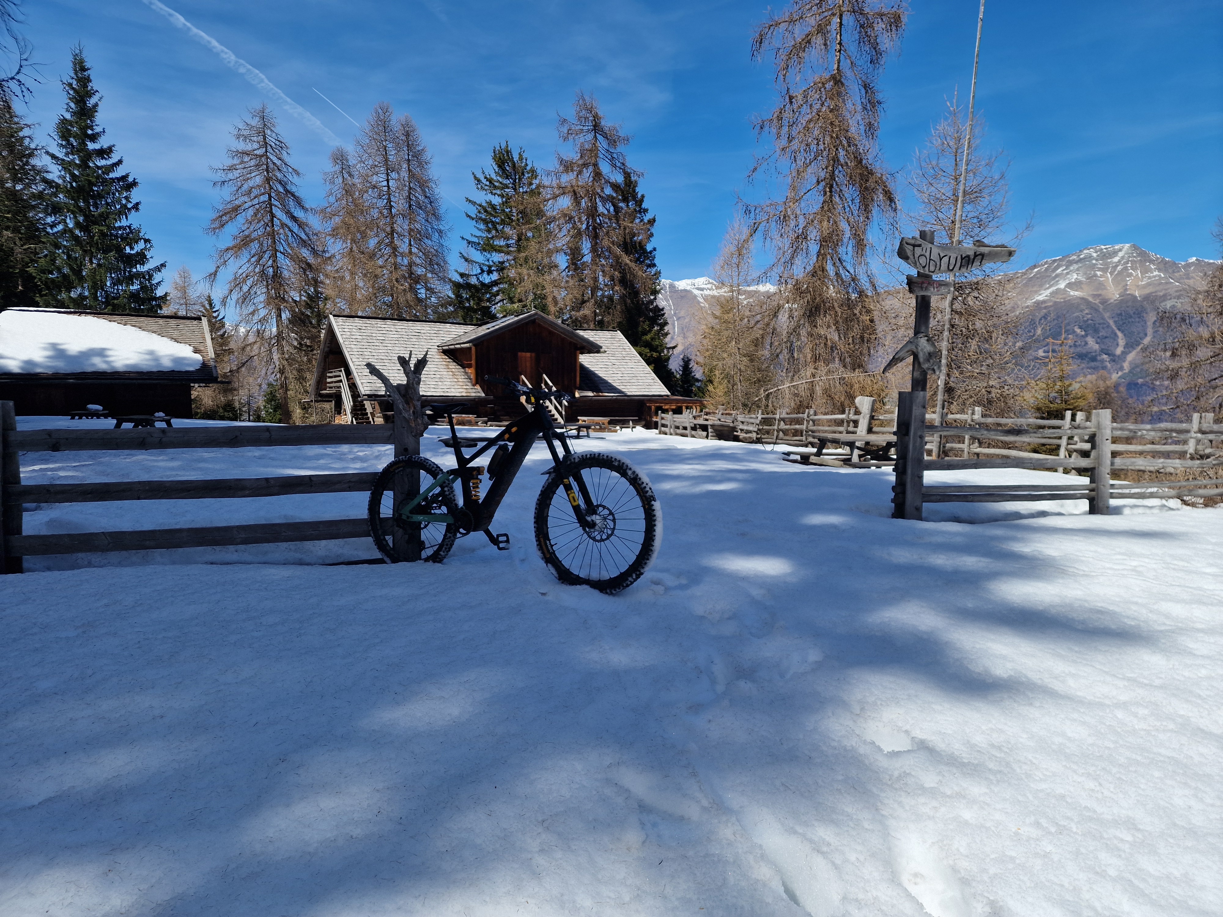
Latsch Trail 13 Runde S2
Cycling route in Latsch, Trentino-Alto Adige, Italy
Vom AquaForum, vorbei am Latscherhof, wo man dann der Beschilderung Töbrunn folgt. Auf der Forststrasse hoch zum Trail Nr.13. Hinunter bis zum Neuwaal, dann weiter zu den Ruinen Montani. Auf dem Monatni Trail runter, danach wieder hoch zum Bierkeller Trail zurück nach Latsch.
- 16.9 km
- Distance
- 734 m
- Ascent
- 730 m
- Descent

Latscher Trail Zauber S2 (gross)
Cycling route in Latsch, Trentino-Alto Adige, Italy
Tolle Trailrunde mit Waal- und Ruinenerlebnis sowie Apfelflair am südlichen Waldrand von Latsch. Vom AquaForum aus verläuft der Schotterweg wenige Höhenmeter über Rehpromenade und Trimm-Dich-Pfad hinauf zum Speicherteich der Bewässerungsanlagen. Vor der Brücke rechts abbiegend schlängelt sich der kupierte Trail im kühlen Wald entlang des Jägersteigs und Neuwaals bis zur Burgruine Obermontani. Dabei fordert der Wechsel zwischen Tretpassagen und leichtem Bergab-Flow immer wieder technisches Fahrkönnen. Bei der Burgruine Obermontani erwarten uns eine wunderbare Aussicht und die bekannte Kapelle St. Stephan mit seinen Fresken. Von hier abwärts lockt ein feiner Spitzkehren-Trail. Dann nach Morter und zurück über den Bierkeller Trail nach Latsch.
- 15.8 km
- Distance
- 552 m
- Ascent
- 553 m
- Descent

über die Bärenböden
Cycling route in Latsch, Trentino-Alto Adige, Italy
kurze aber knackige Runde auf dem Goldrainer Hausberg. Es sammelt sich etliches an Höhenmetern an und wenn man wieder nach Morter einbiegt freut man sich auf ein großes Apfelsaftschorle im Vis a Vis
- 28.5 km
- Distance
- 1,098 m
- Ascent
- 1,098 m
- Descent
Discover more routes
 Tour zur Marzoner Alm
- Distance
- 30.5 km
- Ascent
- 1,142 m
- Descent
- 1,166 m
- Location
- Latsch, Trentino-Alto Adige, Italy
 Uphill Schloss-Annenberg
- Distance
- 13.8 km
- Ascent
- 1,125 m
- Descent
- 34 m
- Location
- Latsch, Trentino-Alto Adige, Italy
 Goldrain - Ruine Schloss Montani - Trimdichpfad Latsch - Radweg / St. Martin Seilbahn ;)
- Distance
- 11.9 km
- Ascent
- 1,885 m
- Descent
- 1,953 m
- Location
- Latsch, Trentino-Alto Adige, Italy
 Vinschgau 05 (Haslhof)
- Distance
- 28.6 km
- Ascent
- 1,284 m
- Descent
- 1,284 m
- Location
- Latsch, Trentino-Alto Adige, Italy
 Martelltal bis zum Stausee
- Distance
- 48.9 km
- Ascent
- 1,551 m
- Descent
- 1,542 m
- Location
- Latsch, Trentino-Alto Adige, Italy
 Latscher Trail Zauber S2 (klein)
- Distance
- 11.1 km
- Ascent
- 388 m
- Descent
- 394 m
- Location
- Latsch, Trentino-Alto Adige, Italy
 Transalp Schmuggler 4
- Distance
- 35.1 km
- Ascent
- 1,936 m
- Descent
- 1,324 m
- Location
- Latsch, Trentino-Alto Adige, Italy
 Latscher - Tarscher - Alm
- Distance
- 27.3 km
- Ascent
- 1,393 m
- Descent
- 1,388 m
- Location
- Latsch, Trentino-Alto Adige, Italy