
Cycling in Glurns
Discover a map of 367 cycling routes and bike trails near Glurns, created by our community.
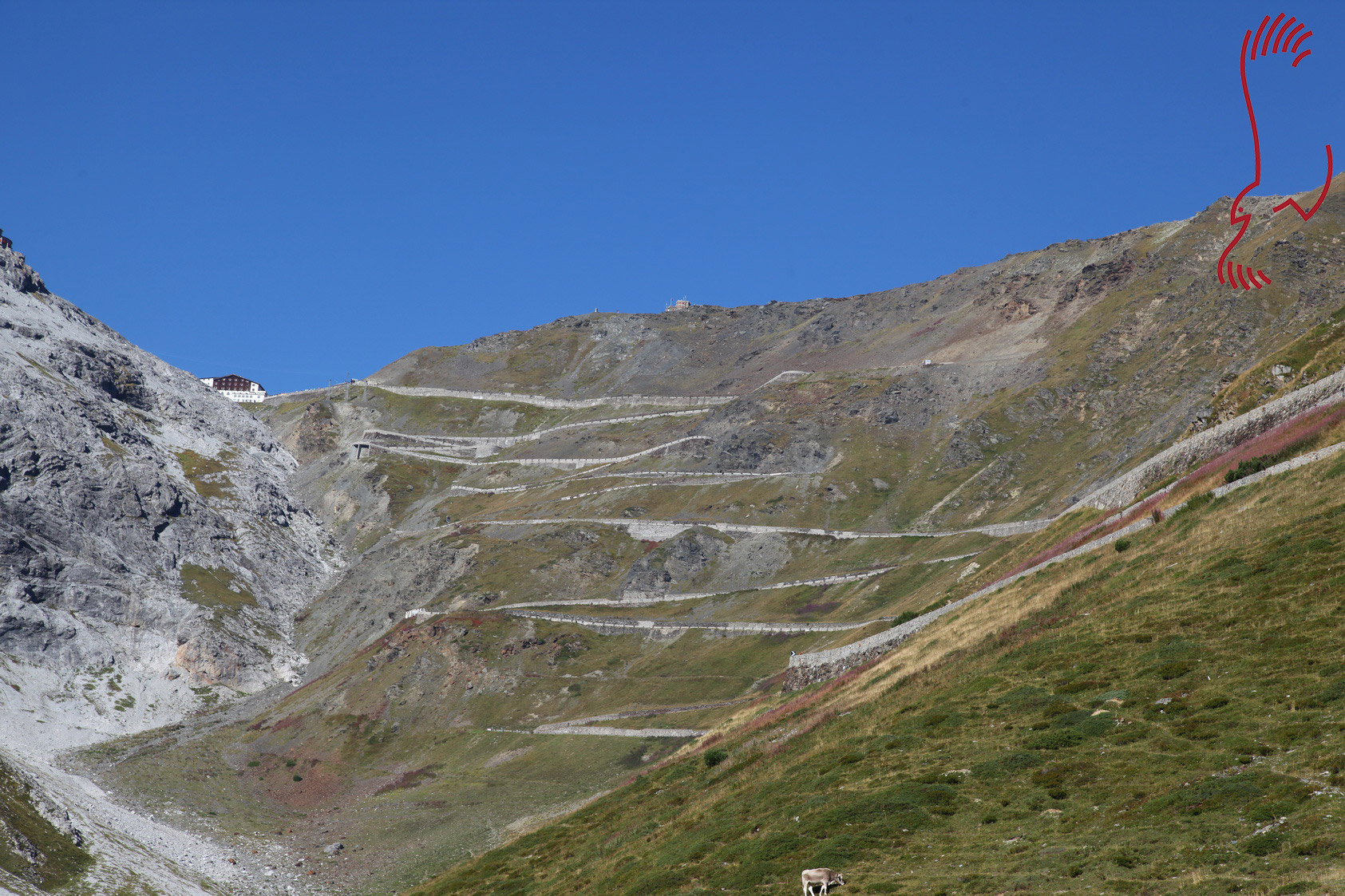
Region portrait
Get to know Glurns
Find the right bike route for you through Glurns, where we've got 367 cycle routes to explore. Most people get on their bikes to ride here in the months of June and July.
29,227 km
Tracked distance
367
Cycle routes
835
Population


Handpicked routes
Discover Glurns through these collections

From our community
The best bike routes in and around Glurns


🚴♀️E*Bike🇮🇩+🇨🇭 Glurns-STILFSER-JOCH-Glurns
Cycling route in Glurns, Trentino-Alto Adige, Italy
Radtag zum STILFSER-Joch. Am 01.09.2018.
Start und Ziel GLURNS über den Etschtalradweg - Prato allo SELVIO - Ponte Selvio - STIFSER Joch 2758 m - Santa Maria entlang des Münstertales zurück nach GLURNS.
- 66 km
- Distance
- 1,844 m
- Ascent
- 1,841 m
- Descent

Wiesenweg nach Glurns
Cycling route in Glurns, Trentino-Alto Adige, Italy
- 12.5 km
- Distance
- 1,244 m
- Ascent
- 172 m
- Descent


🚴♀️E*Bike🇮🇩 MALS-GLURNS- MERAN
Cycling route in Glurns, Trentino-Alto Adige, Italy
MALS bzw. GLURNS von dort fahren wir entlang der ETSCH durch den Vintschgau nach MERAN (61 km ). Der Vintschgau ist eine der interesantesten Regionen Südtirols. Wenig Niederschläge,fruchtbare Böden, der Laaser Marmor, der Apfelbau hinterlassen bei den Besuchern einen bleibenden Ein
- 61 km
- Distance
- 62 m
- Ascent
- 682 m
- Descent

OrtlerRunde
Cycling route in Glurns, Trentino-Alto Adige, Italy
k.A
(cloned from route 3123930)
- 314.8 km
- Distance
- 9,655 m
- Ascent
- 9,655 m
- Descent
Discover more routes
 Stelvio - Gavia
- Distance
- 96.1 km
- Ascent
- 3,200 m
- Descent
- 2,862 m
- Location
- Glurns, Trentino-Alto Adige, Italy
 Glurns nach Melag (Südtirol)
- Distance
- 28.7 km
- Ascent
- 952 m
- Descent
- 47 m
- Location
- Glurns, Trentino-Alto Adige, Italy
 Preko tri drzave s autom
- Distance
- 133.4 km
- Ascent
- 1,813 m
- Descent
- 1,808 m
- Location
- Glurns, Trentino-Alto Adige, Italy
 Dol Stilfser Joch
- Distance
- 62 km
- Ascent
- 1,836 m
- Descent
- 1,836 m
- Location
- Glurns, Trentino-Alto Adige, Italy
 GDS - BDS: 05 Glurns - Nauders (15 Schlinigpass, Uina-Schlucht xxxxx)
- Distance
- 56.3 km
- Ascent
- 1,829 m
- Descent
- 1,386 m
- Location
- Glurns, Trentino-Alto Adige, Italy
 Stilfserjoch
- Distance
- 65 km
- Ascent
- 1,856 m
- Descent
- 1,856 m
- Location
- Glurns, Trentino-Alto Adige, Italy
 Glurns - Madritschjoch - Latsch.
- Distance
- 66 km
- Ascent
- 2,236 m
- Descent
- 2,530 m
- Location
- Glurns, Trentino-Alto Adige, Italy
 MALS-GLURNS- MERAN
- Distance
- 60.8 km
- Ascent
- 45 m
- Descent
- 663 m
- Location
- Glurns, Trentino-Alto Adige, Italy
Routes from Glurns
Cycling day trip from
Glurns to Merano