Cycling in Bruneck
Discover a map of 726 cycling routes and bike trails near Bruneck, created by our community.
Region portrait
Get to know Bruneck
Find the right bike route for you through Bruneck, where we've got 726 cycle routes to explore. Most people get on their bikes to ride here in the months of July and August.
60,127 km
Tracked distance
726
Cycle routes
12,282
Population
Community
Most active users in Bruneck
Handpicked routes
Discover Bruneck through these collections
Tour
Tour
From our community
The best bike routes in and around Bruneck
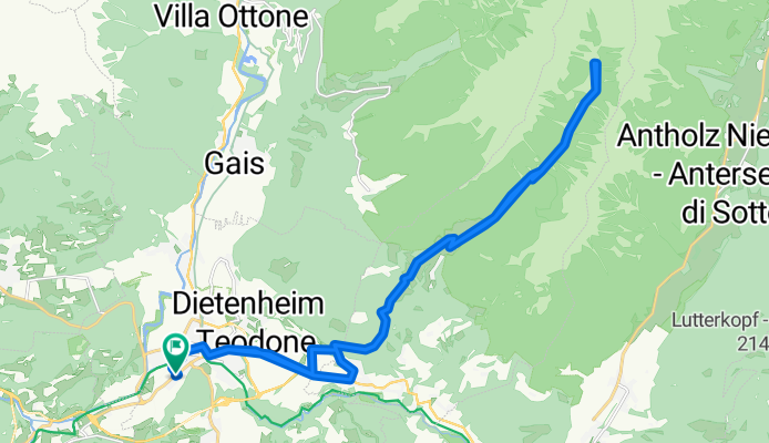
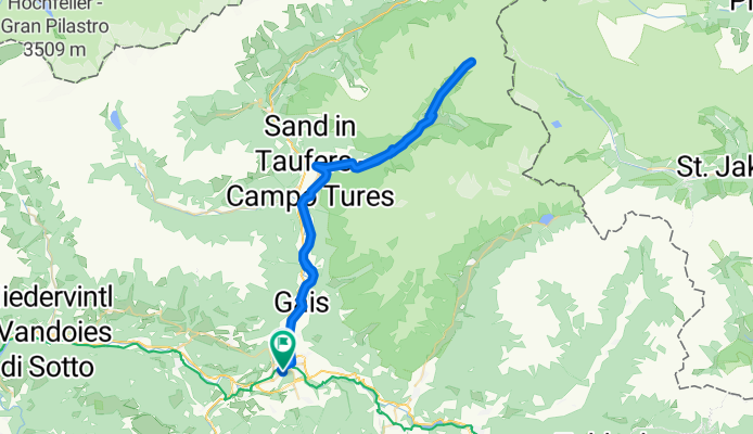
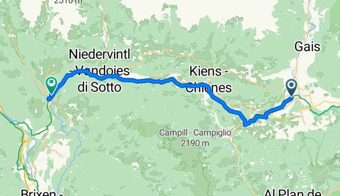
Brunico - Malga Haidacheralm
Cycling route in Bruneck, Trentino-Alto Adige, Italy
- 31 km
- Distance
- 1,112 m
- Ascent
- 1,117 m
- Descent
Via San Lorenzo, Brunico a Via San Lorenzo, Brunico
Cycling route in Bruneck, Trentino-Alto Adige, Italy
- 66 km
- Distance
- 1,210 m
- Ascent
- 1,211 m
- Descent
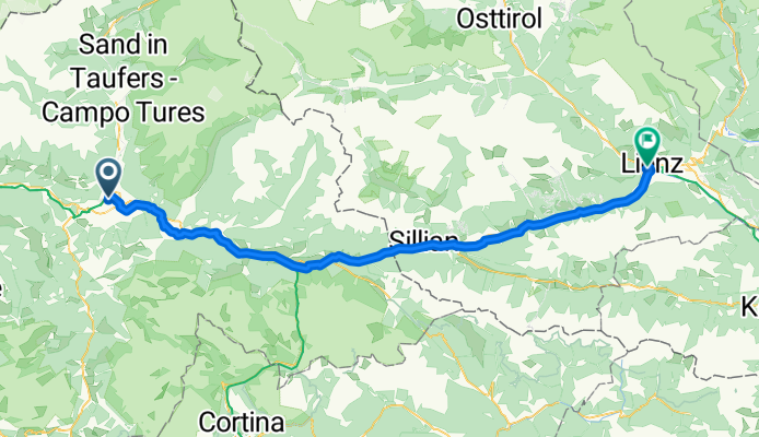
Bruneck - Lienz
Cycling route in Bruneck, Trentino-Alto Adige, Italy
- 78.4 km
- Distance
- 1,125 m
- Ascent
- 1,279 m
- Descent
Via Polo Stegona Marco nach Via Lanz Caterina
Cycling route in Bruneck, Trentino-Alto Adige, Italy
- 27.8 km
- Distance
- 156 m
- Ascent
- 265 m
- Descent
Discover more routes
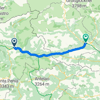 Von Bruneck bis Lienz
- Distance
- 77.4 km
- Ascent
- 1,114 m
- Descent
- 1,281 m
- Location
- Bruneck, Trentino-Alto Adige, Italy
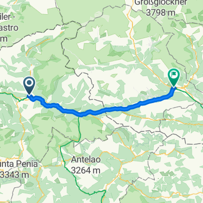 Bruneck - Lienz
- Distance
- 78.9 km
- Ascent
- 1,159 m
- Descent
- 1,312 m
- Location
- Bruneck, Trentino-Alto Adige, Italy
 Bruneck Cortina Falzarego Vigil
- Distance
- 117.9 km
- Ascent
- 3,431 m
- Descent
- 3,030 m
- Location
- Bruneck, Trentino-Alto Adige, Italy
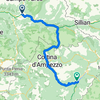 Brunico - Dobbiaco
- Distance
- 95.2 km
- Ascent
- 1,889 m
- Descent
- 1,853 m
- Location
- Bruneck, Trentino-Alto Adige, Italy
 Da Brunico, Autostazione a Via Winkel 26, Campo Tures
- Distance
- 22.7 km
- Ascent
- 211 m
- Descent
- 182 m
- Location
- Bruneck, Trentino-Alto Adige, Italy
 PVP 13: Brunico-Dobbiaco
- Distance
- 35.4 km
- Ascent
- 560 m
- Descent
- 135 m
- Location
- Bruneck, Trentino-Alto Adige, Italy
 Brunico, CampoTures, Riva di Tures, Passo di gola, Erlsbach (A), Passo Stalle, Anterselva, Valdaora, Brunico
- Distance
- 91.5 km
- Ascent
- 1,940 m
- Descent
- 1,940 m
- Location
- Bruneck, Trentino-Alto Adige, Italy
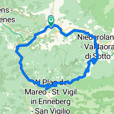 Furkelpass Radrundfahrt
- Distance
- 43.5 km
- Ascent
- 1,594 m
- Descent
- 1,590 m
- Location
- Bruneck, Trentino-Alto Adige, Italy
Routes from Bruneck
Cycling day trip from
Bruneck to Lienz
Cycling day trip from
Bruneck to Toblach


