


Cañón del Sumidero (ITT)
- 23.2 km
- 882 m
- 205 m
- Tuxtla Gutiérrez, Chiapas, Mexico

Discover a map of 154 cycling routes and bike trails near Tuxtla Gutiérrez, created by our community.
Region portrait
Find the right bike route for you through Tuxtla Gutiérrez, where we've got 154 cycle routes to explore. Most people get on their bikes to ride here in the months of February and December.
5,836 km
Tracked distance
154
Cycle routes
481,128
Population
Community
From our community


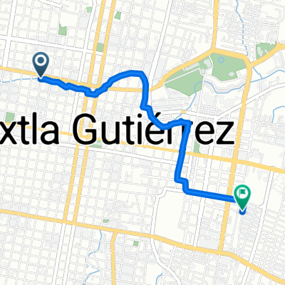
Cycling route in Tuxtla Gutiérrez, Chiapas, Mexico
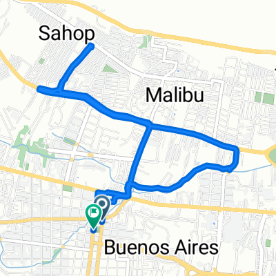
Cycling route in Tuxtla Gutiérrez, Chiapas, Mexico
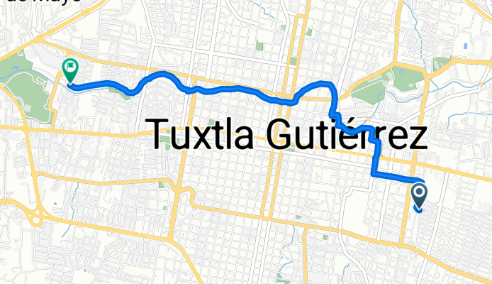
Cycling route in Tuxtla Gutiérrez, Chiapas, Mexico
Cycling route in Tuxtla Gutiérrez, Chiapas, Mexico