
Cycling in Cacalomacan
Discover a map of 15 cycling routes and bike trails near Cacalomacan, created by our community.
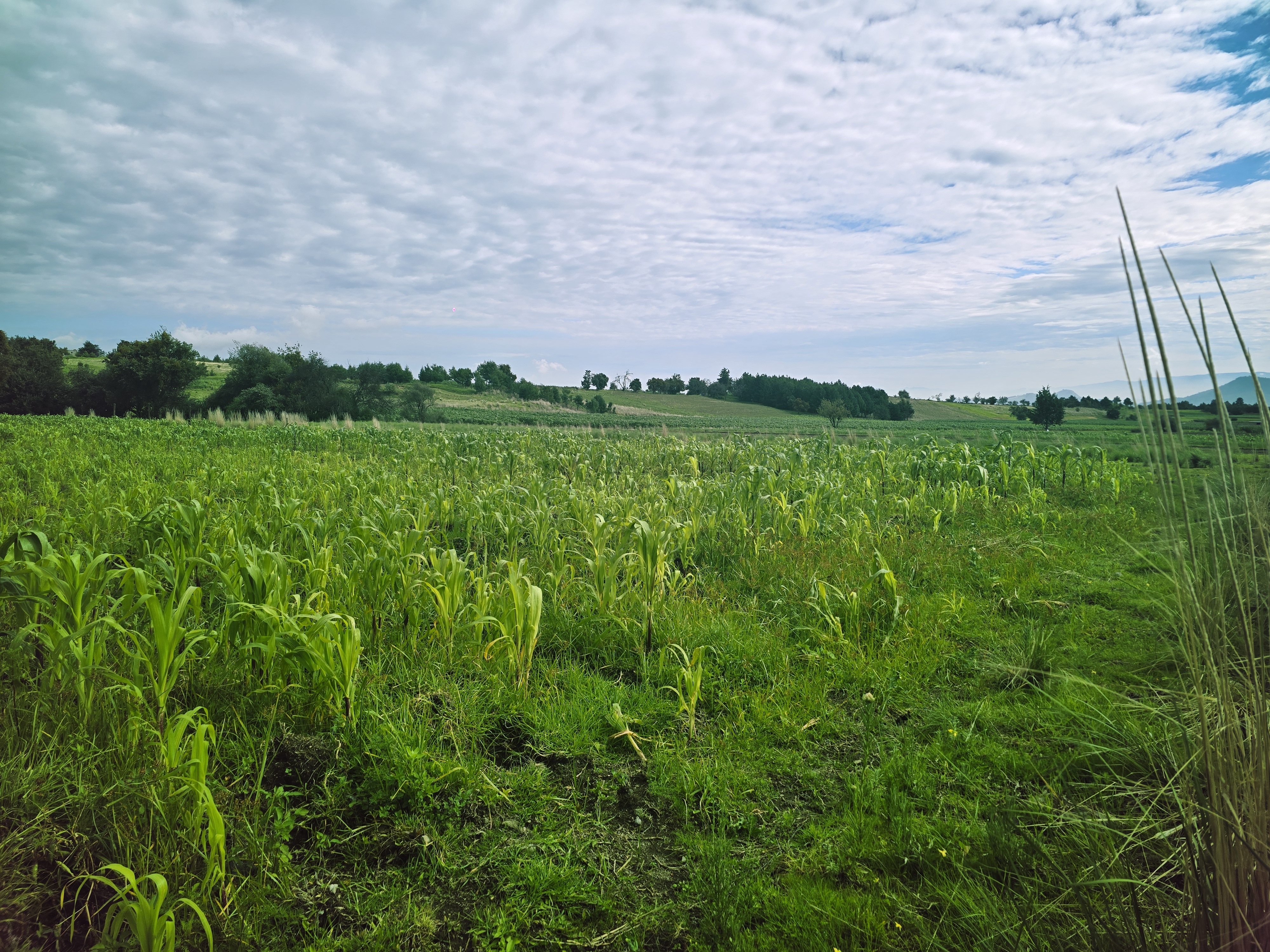
Region portrait
Get to know Cacalomacan
Find the right bike route for you through Cacalomacan, where we've got 15 cycle routes to explore.
342 km
Tracked distance
15
Cycle routes
10,723
Population
Community
Most active users in Cacalomacan


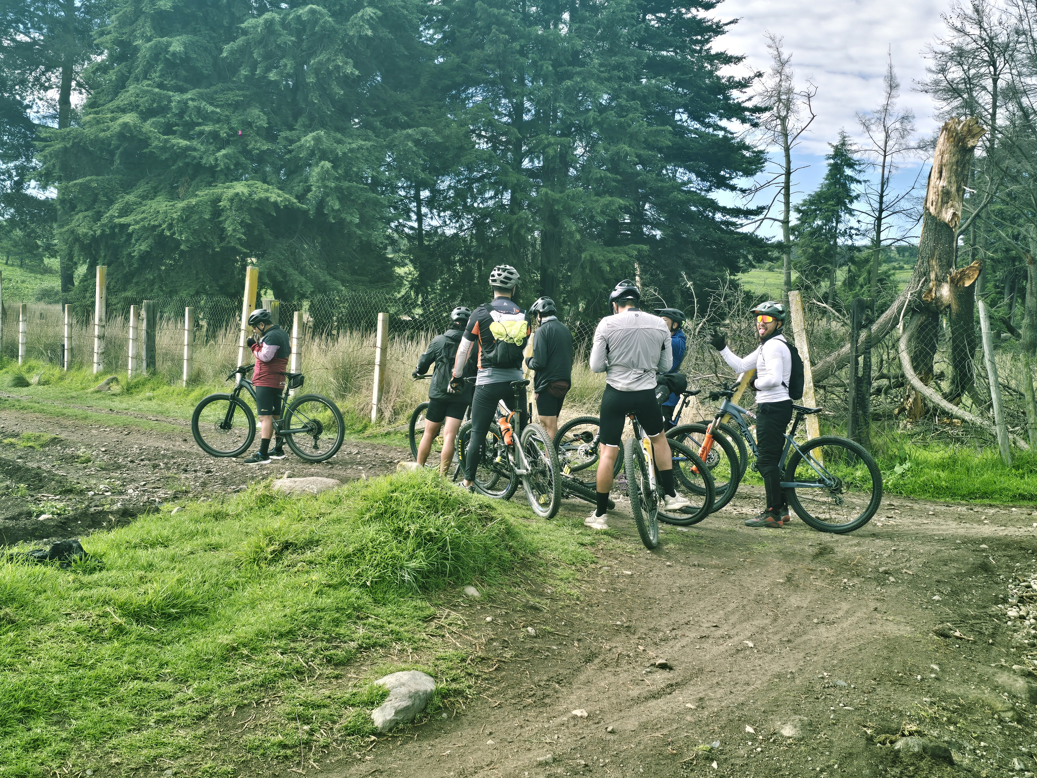
From our community
The best bike routes in and around Cacalomacan
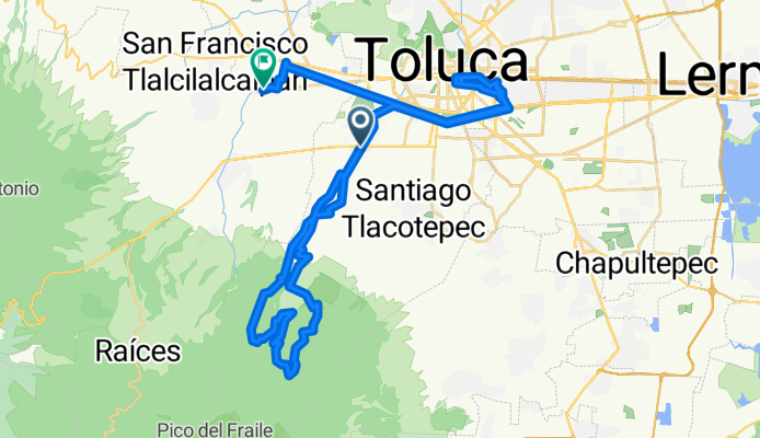
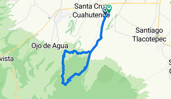
De De Los Corredores a Circuito Vial Acahualco
Cycling route in Cacalomacan, State of Mexico, Mexico
- 73.6 km
- Distance
- 1,402 m
- Ascent
- 1,393 m
- Descent

De Privada Tierra Colorada 63, Cacalomacán a Privada Tierra Colorada 63, Cacalomacán
Cycling route in Cacalomacan, State of Mexico, Mexico
- 32.5 km
- Distance
- 389 m
- Ascent
- 395 m
- Descent
san juabDe Ignacio Zaragoza a El Nevado
Cycling route in Cacalomacan, State of Mexico, Mexico
- 22.8 km
- Distance
- 844 m
- Ascent
- 852 m
- Descent

De Avenida de los Cuervos, Toluca a Calle Águilas, Toluca
Cycling route in Cacalomacan, State of Mexico, Mexico
- 20.3 km
- Distance
- 862 m
- Ascent
- 860 m
- Descent
Discover more routes
 De Privada Tierra Colorada 63, Cacalomacán a Privada Tierra Colorada 63, Cacalomacán
- Distance
- 38.7 km
- Ascent
- 274 m
- Descent
- 275 m
- Location
- Cacalomacan, State of Mexico, Mexico
 De Miguel Hidalgo 12, Cacalomacán a Miguel Hidalgo 156, Cacalomacán
- Distance
- 24.1 km
- Ascent
- 569 m
- Descent
- 570 m
- Location
- Cacalomacan, State of Mexico, Mexico
 Ruta desde Ä#?Ú?
- Distance
- 20.5 km
- Ascent
- 401 m
- Descent
- 459 m
- Location
- Cacalomacan, State of Mexico, Mexico
 De San Miguel 320, Cacalomacán a Laguna de Los Gigantes 1104, Toluca de Lerdo
- Distance
- 5.2 km
- Ascent
- 0 m
- Descent
- 70 m
- Location
- Cacalomacan, State of Mexico, Mexico
 De Privada San Agustin 30–36, Toluca a Privada San Agustin 11–12, Toluca
- Distance
- 1.3 km
- Ascent
- 14 m
- Descent
- 10 m
- Location
- Cacalomacan, State of Mexico, Mexico
 De Calle Tierra Colorada 103, Cacalomacán a Privada Tierra Colorada 63, Cacalomacán
- Distance
- 35.9 km
- Ascent
- 214 m
- Descent
- 226 m
- Location
- Cacalomacan, State of Mexico, Mexico
 Ruta constante en
- Distance
- 2.6 km
- Ascent
- 148 m
- Descent
- 51 m
- Location
- Cacalomacan, State of Mexico, Mexico
 De Azucenas 201, Toluca de Lerdo a Orquídeas 13, Toluca de Lerdo
- Distance
- 17.3 km
- Ascent
- 48 m
- Descent
- 79 m
- Location
- Cacalomacan, State of Mexico, Mexico