
Cycling in Bogota D.C.
Discover a map of 17,975 cycling routes and bike trails in Bogota D.C., created by our community.
Region portrait
Get to know Bogota D.C.
Find the right bike route for you through Bogota D.C., where we've got 17,975 cycle routes to explore. Most people get on their bikes to ride here in the months of May and June.
464,584 km
Tracked distance
17,975
Cycle routes
Community
Most active users in Bogota D.C.


Handpicked routes
Discover Bogota D.C. through these collections
 Tour
Tour
From our community
The best bike routes in Bogota D.C.


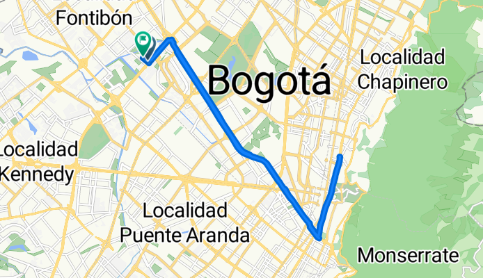
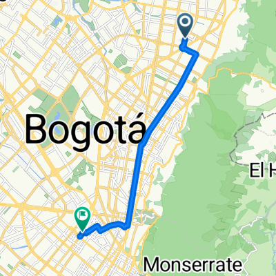
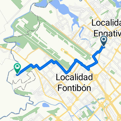
De Carrera 19 # 7-19, Bogotá, D.C. a Calle 11 Sur 25-58, Bogotá
Cycling route in Bogotá, Bogota D.C., Colombia
- 45.1 km
- Distance
- 809 m
- Ascent
- 854 m
- Descent


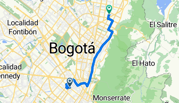
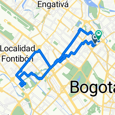
Carrera 72B, Bogotá to Calle 23D, Bogotá
Cycling route in Bogotá, Bogota D.C., Colombia
- 24.3 km
- Distance
- 163 m
- Ascent
- 160 m
- Descent


Discover more routes
 Calle 104, Bogotá to Paloquemao, Bogotá
- Distance
- 11.7 km
- Ascent
- 66 m
- Descent
- 43 m
- Location
- Barrio San Luis, Bogota D.C., Colombia
 De Calle 95-29 a Calle 132d 140C-16
- Distance
- 6.8 km
- Ascent
- 14 m
- Descent
- 19 m
- Location
- Barrio San Luis, Bogota D.C., Colombia
 ejercicio de sábado 😃💪
- Distance
- 21.8 km
- Ascent
- 265 m
- Descent
- 245 m
- Location
- Barrio San Luis, Bogota D.C., Colombia
 De Avenida Calle 19b-31 a Calle 132d # 147A-40
- Distance
- 14.4 km
- Ascent
- 121 m
- Descent
- 147 m
- Location
- Barrio San Luis, Bogota D.C., Colombia
 De Avenida # 101-2 a Calle 163b 12A-19
- Distance
- 7.4 km
- Ascent
- 16 m
- Descent
- 64 m
- Location
- Barrio San Luis, Bogota D.C., Colombia
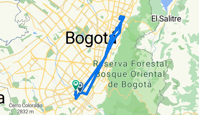
 De Carrera Bis # 6F-5 a Calle
- Distance
- 9.8 km
- Ascent
- 654 m
- Descent
- 699 m
- Location
- Bogotá, Bogota D.C., Colombia
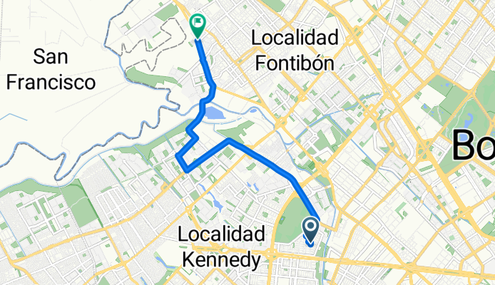
 Carrera 68B # 76A-83 to Carrera 68B # 76A-83
- Distance
- 20.2 km
- Ascent
- 27 m
- Descent
- 28 m
- Location
- Barrio San Luis, Bogota D.C., Colombia
 Berry’s house
- Distance
- 9.9 km
- Ascent
- 8 m
- Descent
- 21 m
- Location
- Bogotá, Bogota D.C., Colombia
Cycling regions in Bogota D.C.
Bogotá
11,702 cycling routes
Barrio San Luis
6,273 cycling routes
See where people are biking in Colombia
Popular cycling regions in Colombia

