
Cycling in Clayton
Discover a map of 17 cycling routes and bike trails near Clayton, created by our community.
Region portrait
Get to know Clayton
Find the right bike route for you through Clayton, where we've got 17 cycle routes to explore.
621 km
Tracked distance
17
Cycle routes
2,047
Population
Community
Most active users in Clayton

From our community
The best bike routes in and around Clayton

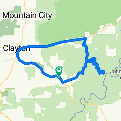
North Georgia 201030
Cycling route in Clayton, Georgia, United States
- 193.8 km
- Distance
- 1,927 m
- Ascent
- 1,945 m
- Descent

Terrora Cir, Tallulah Falls to Terrora Cir, Tallulah Falls
Cycling route in Clayton, Georgia, United States
- 0.8 km
- Distance
- 9 m
- Ascent
- 13 m
- Descent

Terrora Cir, Tallulah Falls to Tallulah Falls
Cycling route in Clayton, Georgia, United States
- 2.3 km
- Distance
- 23 m
- Ascent
- 13 m
- Descent
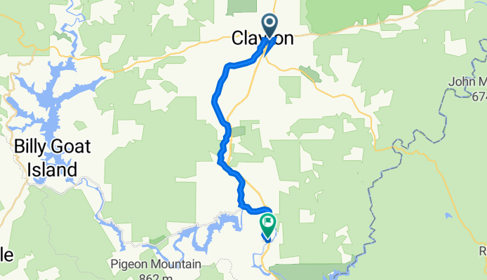
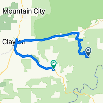
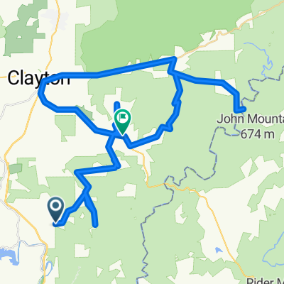
73 Rickman St, Clayton to 11086–11098 Old 441 S, Lakemont
Cycling route in Clayton, Georgia, United States
- 20.2 km
- Distance
- 202 m
- Ascent
- 281 m
- Descent
Discover more routes
 Blue Mountain Ln, Clayton to Blue Mountain Ln, Clayton
- Distance
- 73.6 km
- Ascent
- 1,368 m
- Descent
- 1,365 m
- Location
- Clayton, Georgia, United States
 Blue Mountain Ln, Clayton to Blue Mountain Ln, Clayton
- Distance
- 58.9 km
- Ascent
- 970 m
- Descent
- 948 m
- Location
- Clayton, Georgia, United States
 Blue Mountain Ln, Clayton to Blue Mountain Ln, Clayton
- Distance
- 31.8 km
- Ascent
- 1,318 m
- Descent
- 1,315 m
- Location
- Clayton, Georgia, United States
 Licklog Trail, Clayton to Blue Mountain Ln, Clayton
- Distance
- 29.8 km
- Ascent
- 495 m
- Descent
- 519 m
- Location
- Clayton, Georgia, United States
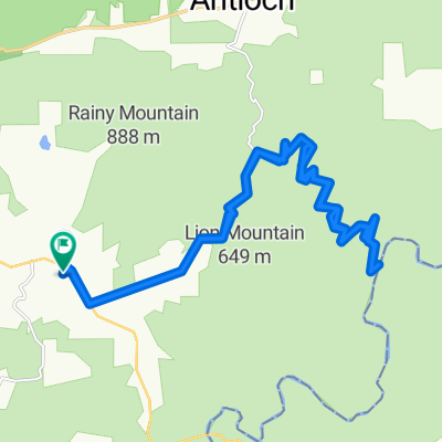
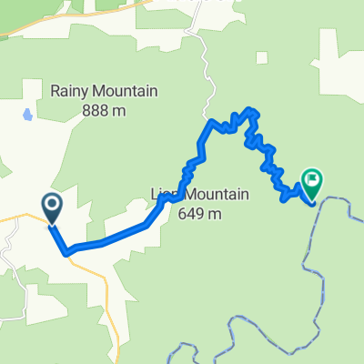 US-76, Clayton to Licklog Trail, Clayton
- Distance
- 14.9 km
- Ascent
- 374 m
- Descent
- 376 m
- Location
- Clayton, Georgia, United States
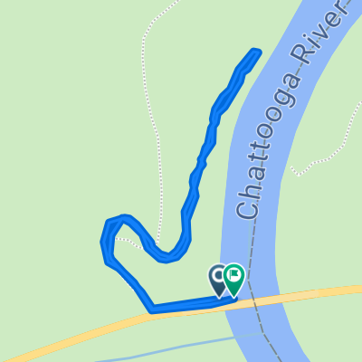 34.815, -83.305 to 34.815, -83.305
- Distance
- 1.3 km
- Ascent
- 64 m
- Descent
- 64 m
- Location
- Clayton, Georgia, United States
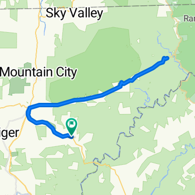
 Blue Mountain Ln, Clayton to Blue Mountain Ln, Clayton
- Distance
- 45.2 km
- Ascent
- 1,194 m
- Descent
- 1,190 m
- Location
- Clayton, Georgia, United States
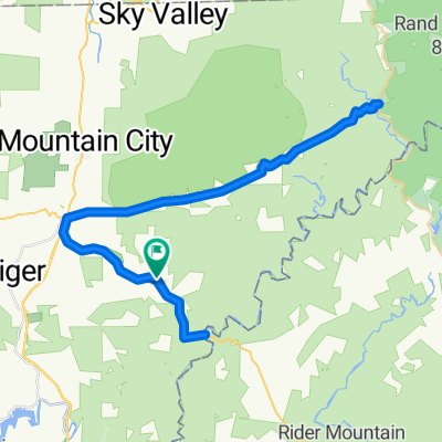
 Lilac Ln, Tiger to Blue Mountain Ln, Clayton
- Distance
- 67.1 km
- Ascent
- 1,566 m
- Descent
- 1,630 m
- Location
- Clayton, Georgia, United States