
Cycling in Vinings
Discover a map of 121 cycling routes and bike trails near Vinings, created by our community.
Region portrait
Get to know Vinings
Find the right bike route for you through Vinings, where we've got 121 cycle routes to explore. Most people get on their bikes to ride here in the months of May and August.
7,541 km
Tracked distance
121
Cycle routes
9,734
Population
Community
Most active users in Vinings

From our community
The best bike routes in and around Vinings

SE of Atlanta 258 km vikend
Cycling route in Vinings, Georgia, United States
- 268 km
- Distance
- 613 m
- Ascent
- 602 m
- Descent

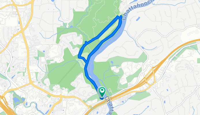
Access to Silver Comet Trail
Cycling route in Vinings, Georgia, United States
- 14.8 km
- Distance
- 287 m
- Ascent
- 262 m
- Descent

Brasstown bald alternative No. 2
Cycling route in Vinings, Georgia, United States
- 391.3 km
- Distance
- 1,712 m
- Ascent
- 1,700 m
- Descent
Discover more routes
 BTB Day1
- Distance
- 128.5 km
- Ascent
- 598 m
- Descent
- 385 m
- Location
- Vinings, Georgia, United States
 Four Parks-Paces Mill-West Palisades-Cochran Shoals-Johnson Ferry
- Distance
- 32.4 km
- Ascent
- 303 m
- Descent
- 304 m
- Location
- Vinings, Georgia, United States
 hill route
- Distance
- 22.2 km
- Ascent
- 365 m
- Descent
- 365 m
- Location
- Vinings, Georgia, United States
 Marietta to Marietta
- Distance
- 7.8 km
- Ascent
- 183 m
- Descent
- 121 m
- Location
- Vinings, Georgia, United States
 ATL2STL4
- Distance
- 1,137.1 km
- Ascent
- 1,521 m
- Descent
- 1,652 m
- Location
- Vinings, Georgia, United States
 Vinings Loop
- Distance
- 34.6 km
- Ascent
- 352 m
- Descent
- 352 m
- Location
- Vinings, Georgia, United States
 Billboard search
- Distance
- 88.6 km
- Ascent
- 486 m
- Descent
- 432 m
- Location
- Vinings, Georgia, United States
 Work to Windsor
- Distance
- 12 km
- Ascent
- 187 m
- Descent
- 139 m
- Location
- Vinings, Georgia, United States